• Fri frakt över 249 kr
  • •
  • Snabba leveranser
  • •
  • Billiga böcker
Kundservice

Du är på sajten för privatpersoner.

Företag, bibliotek eller offentlig verksamhet?

Du handlar på classic.bokus.com, där alla dina funktioner finns intakta.
Till classic.bokus.com
Bokus logotyp. Gå till startsidan.
  • Erbjudanden
  • Nyheter
  • Student
  • Topplistor
  • Barn & ungdom
  • Bokus Play
  • E-böcker
  • Pocketböcker
  • Spel & pussel

10% rabatt på allt med kod: NYSTART10 →

Sidfot

Mina sidor

    Hjälp

    • Kundservice
    • Vanliga frågor och svar
    • Frakt och leverans
    • Retur vid ångerrätt
    • Reklamera vara
    • Betalning
    • Köpvillkor
    • Allmänna villkor
    • Information om webbplatsens tillgänglighet

    Om Bokus

    • Om oss
    • Pressrum
    • För studenter
    • För företag
    • För bibliotek och offentlig verksamhet
    • För leverantörer
    • Hållbarhet

    Populärt

    • Aktuella erbjudanden
    • Presentkort
    • Studentlitteratur
    • Nya böcker
    • Topplistor
    • Signerade böcker
    • Engelska böcker

    Inspiration

    • Boktips
    • BookTok
    • Populära bokserier
    • Barnbokskaraktärer
    • Populära författare
    Logotyp för Bokus
    Följ oss på Facebook (extern länk)Följ oss på Instagram (extern länk)Följ oss på YouTube (extern länk)Följ oss på TikTok (extern länk)
    bokus @ CookiesAnpassa cookiesIntegritetspolicyKöpvillkor
    Till Citymail hemsida (extern länk)Till Budbee hemsida (extern länk)Till Postnord hemsida (extern länk)Till Schenker hemsida (extern länk)Till Early Bird hemsida (extern länk)Till Walleys hemsida (extern länk)
    1. Samhälle och politik
    2. Samhälle och kultur
    3. Kultur och medier
    4. Kulturvetenskap

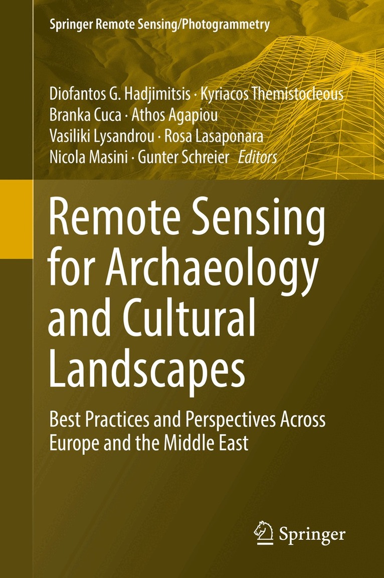
    Remote Sensing for Archaeology and Cultural Landscapes

    Best Practices and Perspectives Across Europe and the Middle East

    AvDiofantos G. Hadjimitsis,Kyriacos Themistocleous

    Inbunden, Engelska, 2019

    Del i serien Springer Remote Sensing/Photogrammetry

    1 896 kr

    Beställningsvara. Skickas inom 10-15 vardagar. Fri frakt över 249 kr.

    Beskrivning

    This book investigates the added value that satellite technologies and remote sensing could provide for a more sustainable mapping, monitoring and management of heritage sites, be it for purposes of regular maintenance or for risk mitigation in case of natural or man-caused hazards. One of the major goals of this book is to provide a clear overview on policy perspectives, regarding both space policy as well as heritage policy, and to provide possible suggestions for common ground of these two fields, in Europe and around the world. Readers will develop a good understanding of cutting-edge applications of remote sensing and geographic information science, and the challenges that affect heritage maintenance and protection. Particular attention is given to Earth observation and remote sensing techniques applied in different locations. This book brings together innovative technologies, concrete applications and policy perspectives that can lead to a more completevision of cultural heritage as a resource for future development of our society as a whole.

    Produktinformation

    • Utgivningsdatum:2019-06-21
    • Mått:155 x 235 x 24 mm
    • Vikt:680 g
    • Format:Inbunden
    • Språk:Engelska
    • Serie:Springer Remote Sensing/Photogrammetry
    • Antal sidor:308
    • Förlag:Springer Nature Switzerland AG
    • ISBN:9783030109783

    Utforska kategorier

    • Kulturvetenskap inom Samhälle och politik
    • Arkeologi: metod och teknik inom Historia och arkeologi
    • Regional planering inom Naturvetenskap och teknik

    Mer om författaren

    Dr. Diofantos G. Hadjimitsis is the Vice Rector for Academic Affairs, as well as Professor, and Head of the Remote Sensing and Geo-Environment Lab in the Department of Civil Engineering and Geomatics, Faculty of Engineering and Technology at Cyprus University of Technology. Dr. Athos Agapiou, Dr. Branka Cuca and Dr. Vasiliki Lysandrou are Research Fellows in the Department of Civil Engineering and Geomatics at Cyprus University of Technology.Dr. Kyriacos Themistocleous is a Senior Researcher in the Department of Civil Engineering and Geomatics at Cyprus University of Technology.Dr. Rosa Lasaponara is a Senior Researcher at CNR-IMAA (Institute of Methodologies for Environmental Analyses) in Tito, Italy. Dr. Nicola Masini is a Senior Reserarcher at CNR-IBAM (Institute for Archaeologicaland Monumental Heritage) in Tito, Italy. Dr. Gunter Schreier is Deputy Director of the Earth Observation Center (EOC) at German Aerospace Center (DLR) in Oberpfaffenhofen, Germany.

    Innehållsförteckning

    • PART I. POLICY PERSPECTIVE.- CHAPTER 1. Opportunities by the Copernicus Program for Archaeological Research and World Heritage Site Conservation.- CHAPTER 2. Recent Destructions in Palmyra/Syria, Looting and Illegal Antiquities Trade.- PART II. ADVANCEMENTS IN THEORY.- CHAPTER 3. Recent Destructions in Palmyra/Syria, Looting and Illegal Antiquities Trade.- CHAPTER 4. Automatic Change Detection From High Resolution Satellite Imagery.- CHAPTER 5. SAR for Archaeological Prospection in Europe and in the Middle East.- CHAPTER 6. Dense Surface Models from Airborne and Spaceborne (Multi-)Stereo Images.- PART III. ARCHAEOLOGY AND CULTURAL LANDSCAPES.- CHAPTER 7. Active Satellite Sensors in Cultural Heritage Research: The Use of SAR for Archaeological Prospection.- CHAPTER 8. Archaeological looting feature extraction by Satellite Remote Sensing: Approach and application in Syria.- CHAPTER 9. Identification of buildings damaged by natural hazards using very high resolution satellite images: Thecase of earthquake in L’Aquila, Italy.- CHAPTER 10. Remote Sensing Roman and Byzantine Eastern Frontier Zone in Landscape: Case Studies from Syria and Turkey.- CHAPTER 11. Archaeological landscapes and built heritage: Climate risk and contribution of RS Technologies.- CHAPTER 12. Interpreting archaeological features on the Wieprza River floodplain, West Pomerania, Poland.- CHAPTER 13. Towards Early Warning for Damages to Cultural Heritage Sites: the Case of Palmyra.- CHAPTER 14. The Use Of UAVs for Cultural Heritage and Archaeology.- PART IV. ADDED VALUE OF IN-SITU DATA.- CHAPTER 15. Remote Sensing Work in Palmyra/Syria.- CHAPTER 16. Monitoring Cultural Heritage Sites Affected by Geo-Hazards Using In-Situ and SAR Data: The Choirokoitia Case Study.