• Fri frakt över 249 kr
  • •
  • Snabba leveranser
  • •
  • Billiga böcker
Kundservice

Du är på sajten för privatpersoner.

Företag, bibliotek eller offentlig verksamhet?

Du handlar på classic.bokus.com, där alla dina funktioner finns intakta.
Till classic.bokus.com
Bokus logotyp. Gå till startsidan.
  • Erbjudanden
  • Nyheter
  • Student
  • Topplistor
  • Barn & ungdom
  • Bokus Play
  • E-böcker
  • Pocketböcker
  • Spel & pussel

10% rabatt på allt med kod: NYSTART10 →

Sidfot

Mina sidor

    Hjälp

    • Kundservice
    • Vanliga frågor och svar
    • Frakt och leverans
    • Retur vid ångerrätt
    • Reklamera vara
    • Betalning
    • Köpvillkor
    • Allmänna villkor
    • Information om webbplatsens tillgänglighet

    Om Bokus

    • Om oss
    • Pressrum
    • För studenter
    • För företag
    • För bibliotek och offentlig verksamhet
    • För leverantörer
    • Hållbarhet

    Populärt

    • Aktuella erbjudanden
    • Presentkort
    • Studentlitteratur
    • Nya böcker
    • Topplistor
    • Signerade böcker
    • Engelska böcker

    Inspiration

    • Boktips
    • BookTok
    • Populära bokserier
    • Barnbokskaraktärer
    • Populära författare
    Logotyp för Bokus
    Följ oss på Facebook (extern länk)Följ oss på Instagram (extern länk)Följ oss på YouTube (extern länk)Följ oss på TikTok (extern länk)
    bokus @ CookiesAnpassa cookiesIntegritetspolicyKöpvillkor
    Till Citymail hemsida (extern länk)Till Budbee hemsida (extern länk)Till Postnord hemsida (extern länk)Till Schenker hemsida (extern länk)Till Early Bird hemsida (extern länk)Till Walleys hemsida (extern länk)
    1. Naturvetenskap och teknik
    2. Teknik och industri
    3. Elektronik och kommunikationer

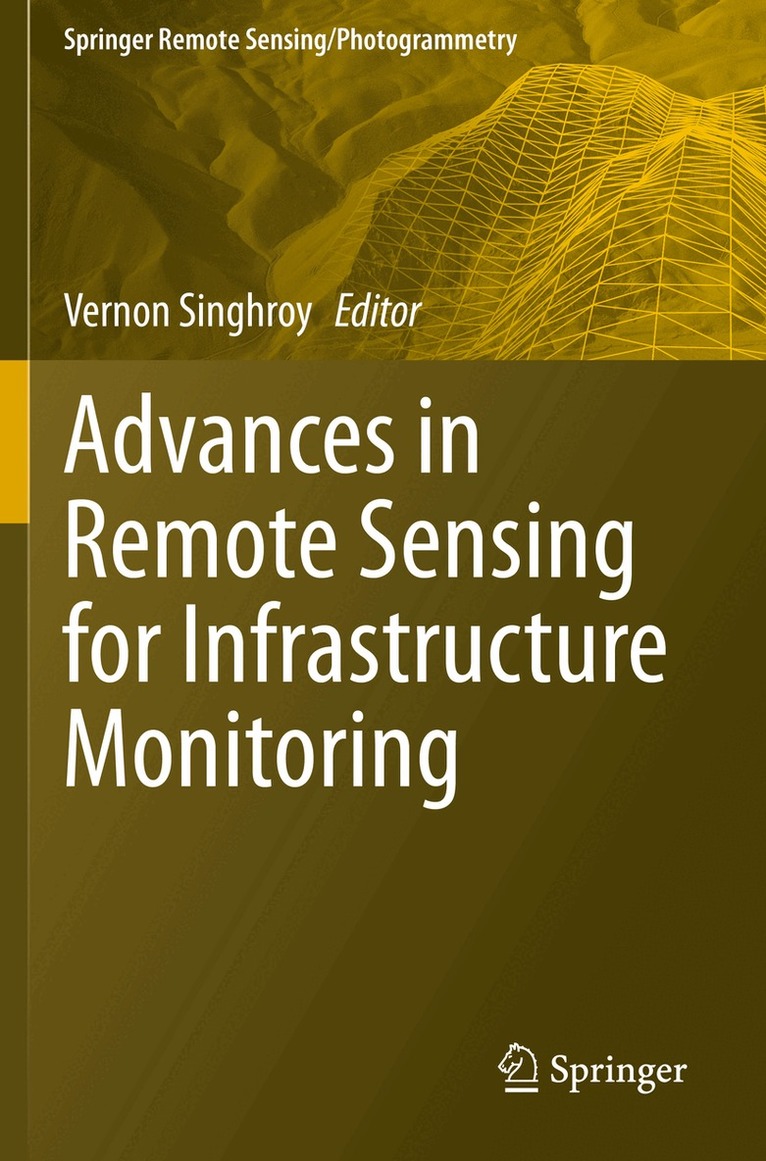
    Advances in Remote Sensing for Infrastructure Monitoring

    AvVernon Singhroy

    Häftad, Engelska, 2021

    Del i serien Springer Remote Sensing/Photogrammetry

    1 734 kr

    Beställningsvara. Skickas inom 10-15 vardagar. Fri frakt över 249 kr.

    Beskrivning

    This volume provides international case studies of practical and advanced methods using satellite images integrated with other airborne, drone images and field data to monitor infrastructure. The book is timely, as infrastructure spending by national governments is increasing and robust monitoring techniques are needed to keep pace with climate change impacts affecting infrastructures globally. The expert international contributions that comprise the book provide examples of advanced methods using InSAR, high-resolution optical and radar images, LIDAR, UAV, geophysical techniques and their applications to civil infrastructure. The case studies focus on high-resolution, rapid time-series radar interferometry to monitor highways, railways, pipelines, bridges, urban, and water conveyance infrastructures.  Other case studies use optical and radar images to characterize urban infrastructure and monitor damages from floods, oil spills and conflicts. The case studies are global focusing on infrastructure projects in Canada, Dominica Guyana, India Italy, Syria Taiwan, United States and the United Kingdom. This compilation of selected case studies will provide useful guidelines for the civil infrastructure characterization and monitoring communities. The book will be of interest to infrastructure consultants and professionals, scientific communities in earth observation and advanced imaging methods, and researchers and professors in earth sciences, climate change, and civil and geoengineering.

    Produktinformation

    • Utgivningsdatum:2021-12-24
    • Mått:155 x 235 x 20 mm
    • Vikt:618 g
    • Format:Häftad
    • Språk:Engelska
    • Serie:Springer Remote Sensing/Photogrammetry
    • Antal sidor:362
    • Förlag:Springer Nature Switzerland AG
    • ISBN:9783030591113

    Utforska kategorier

    • Elektronik och kommunikationer inom Naturvetenskap och teknik
    • Geologi inom Naturvetenskap och teknik
    • Systemvetenskap och AI inom Data och IT

    Mer om författaren

    Dr Vernon Singhroy is the President of EOSPATIAL in Ottawa, Canada. He is an internationally recognized expert on remote sensing applications, and was the chief scientist of the Canadian Space Agency, RADARSAT Constellation Mission, launched in June 2019. Dr. Singhroy received his Ph.D. in environmental and resource engineering from the State University of New York, Syracuse. He is a professional engineer. A senior research scientist with the Canada Centre for Remote Sensing at Natural Resources Canada (1995-2020), Dr. Singhroy has published over 300 papers in scientific journals, proceedings, and books. He was the editor-in-chief of the Canadian Journal of Remote Sensing, and he is the co-editor of four books, including of the Encyclopedia of Remote Sensing. Dr. Singhroy has been a Professor of Earth Observation at the International Space University in Strasbourg, France (1998-2020) and he is an adjunct professor in Planetary and Space Sciences at the University of New Brunswick in Canada. Dr. Singhroy received the prestigious Gold Medal Award from the Canadian Remote Sensing Society and the Queen Elizabeth Diamond Jubilee Medal for his contributions to Canadian and international remote sensing applications and education.

    Innehållsförteckning

    • Part I: Transportation, Energy and Mining Infrastructure. - Chapter 1: Advanced radar images for monitoring Transportation, Energy. Mining and Coastal infrastructure. - Chapter 2; InSAR Satellite Surveys – Key considerations for monitoring infrastructure. - Chapter 3; Sentinel-1 InSAR data for the continuous monitoring of ground deformation and infrastructures at regional scale. - Chapter 4 Protecting Canada’s Railway Network using Remote Sensing Technologies. - Chapter 5: Landslide activity assessment of subtropical area by integrating InSAR, landslide inventory, airborne LiDAR, and UAV investigation: a case study in northern Taiwan. - Chapter 6:  Remote Sensing of Deformation and Disturbance to Monitor and Assess Infrastructure in Urban Environments. - Chapter 7: Remote monitoring of Highway Bridges with RADARSAT-2 Satellite: Validation case study on Jacques Cartier and Victoria Bridges in Montreal, Canada. - Chapter 8: Interferometric synthetic aperture radar (InSAR) inthe context of Bridge Monitoring. - Chapter 9: Measuring Subsidence in California and its Impact on Water Conveyance Infrastructure. - Part II: Urban Infrastructure. - Chapter 10: Earth Observation Based Understanding of Canadian Urban Form. - Chapter 11: Extraction of building footprints from LiDAR: An assessment of classification and point density requirements. Part III: Infrastructure Damage. - Chapter 12 Flood mapping from multi-sensor EO data for near real-time infrastructure impact assessment: lessons learned from the 2017 spring flood in eastern Canada. - Chapter 13: The role of Landsat-8 multispectral data in spill response: three case studies. - Chapter 14: Using EO to understand the significance of Cement Production Infrastructure in the Syrian Conflict.