
Jordana Dym – författare
Visar alla böcker från författaren . Handla med fri frakt och snabb leverans.
4 produkter
4 produkter
Häftad, Engelska, 2011
777 kr
Skickas inom 3-6 vardagar
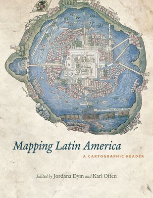
For many, a map is nothing more than a tool used to determine the location or distribution of something - a country, a city, or a natural resource. But maps reveal much more: to really read a map means to examine what it shows and what it doesn't, and to ask who made it, why, and for whom. The contributors to this new volume ask these sorts of questions about maps of Latin America, and in doing so they illuminate the ways cartography has helped to shape this region from the Rio Grande to Patagonia. In "Mapping Latin America", Jordana Dym and Karl Offen bring together scholars from a wide range of disciplines to examine and interpret more than five centuries of Latin American maps. Individual chapters take on maps of every size and scale and from a wide variety of mapmakers - from the hand-drawn maps of Native Americans, to those by famed explorers such as Alexander von Humboldt, to those produced in today's newspapers and magazines for the general public.The maps collected here, and the interpretations that accompany them, provide an excellent resource to help readers better understand how Latin American countries, regions, provinces, and municipalities came to be defined, measured, organized, occupied, settled, disputed, and understood - that is, how they came to have specific meanings to specific people at specific moments in time. The first book to deal with the broad sweep of mapping activities across modern Latin America, this lavishly illustrated volume will be required reading for students and scholars of geography and Latin American history and anyone interested in understanding the significance of maps in human cultures and societies.
Inbunden, Engelska, 2006
574 kr
Skickas inom 5-8 vardagar
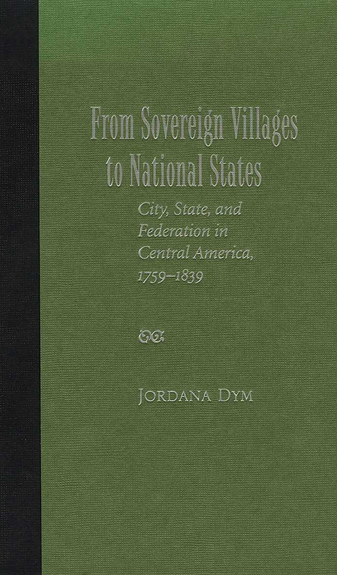
The role of the city - as an institution, as a political ideal, as a training ground for politicians - has been neglected in historical studies of Spanish American independence. Connecting the political changes of the Bourbon Reforms (1759-1788) and constitutional monarchy (1808-1821) to those of the independence era (1821-1839), Jordana Dym's analysis of Central America's early nineteenth-century politics shows nation-state formation to be a city-driven process that transformed colonial provinces (weak administrative districts with ambiguous political identities and divided interiors) into enduring states with basic governments and articulated national identities. Dym argues that in Central America, an important aspect of the nineteenth-century political revolution was a shift from European political ideology based on municipal sovereignty (that of the pueblos) to a politics of national sovereignty (that of the pueblo). The tensions in the move from municipal to national sovereignty, she finds, contributed to multiple civil wars and to the difficulty of bringing breakaway regions to respect colonial districts and capitals. This book challenges the received wisdom that states emerged, already formed, from the process of independence. Based on extensive research in national and local archives in Central America, the United States, and Europe, this political history examines a complex process that takes into account cooperation as well as conflict between elites and popular groups. It holds that the contradictory, multifaceted republican processes of independence and subsequent efforts at state formation owed much to and must be analysed within the context of the specific types of political change introduced in the late colonial period, a question of interest to scholars and students of Central America, Mexico, and South America.
Häftad, Engelska, 2021
1 241 kr
Skickas inom 5-8 vardagar
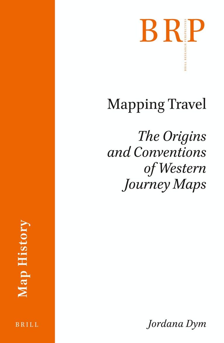
More often than not, readers of travel narratives can expect to find at least one map—if not several—showing, as English privateer William Dampier wrote, “the Course of the Voyage,” that is, where the author-traveler went and, implicitly, a sense of what was seen and experienced. Dampier used a now-common cartographic strategy to tell the story from beginning to end as well as around significant places on the way by marking the journey with a ‘pricked’ line. Despite the lines’ popularity and present ubiquity, the complex intellectual and material process of considering travel as a continuum rather than as a series of stops along the way and of plotting a journey onto a map have attracted relatively little academic attention. Drawing on a thousand years of European travel writing and map-making, Jordana Dym suggests that after centuries of text-based itineraries and on-the-spot directions guiding travelers and constituting their reports, maps in the fifteenth century emerged as tools for Europeans to support and report the results of land and sea travel. Called in subsequent centuries 'route maps,' 'itinerary maps,' and 'travel maps,' often interchangeably, what Dym defines as journey maps added lines of travel to show where travelers had been. Sine their emergence, most have taken one of two forms: itinerary maps, which connected stages as points with a line, and route maps, which tracked unbroken lines between endpoints. In the seventeenth century, the conventions of journey mapping were codified and increasingly incorporated into travel writing and other genres that represented individual travel. With each succeeding generation, these linear journey maps have become increasingly common and complex, responding to changes in forms of transportation, such as air and motor car ‘flight’ and print technology, especially the advent of multi-color printing. This is their story.
Inbunden, Engelska, 2007
704 kr
Tillfälligt slut
This book examines how the Spanish policies known broadly as the Bourbon Reforms affected Central American social, economic, and political institutions. Although historians have devoted significant attention to the purpose and impact of these reforms in Spain and some of Spains other New World colonies, this book is the first to explore their impact on Central America. These reforms profoundly changed aspects of Central America's politics and society; however, these essays reveal that changes in the region were shaped both internally and externally and that they weakened the regions ties to metropolitan Spain as often as they reinforced them. Contributors focus on specific policy changes and their consequences as well as transformations throughout the region for which no direct Bourbon inspiration appears to be responsible. Together they demonstrate that whether or not the Crown achieved its primary goals of centralisation and control, its policies nevertheless provided opportunities for evident, often subtle, and occasionally unintentional shifts in the colonial governments relationship to its constituent populations.