
Paul Hindle – författare
Visar alla böcker från författaren . Handla med fri frakt och snabb leverans.
6 produkter
6 produkter
Häftad, Engelska, 2002
112 kr
Skickas inom 10-15 vardagar
Häftad, Engelska, 2008
111 kr
Skickas inom 5-8 vardagar
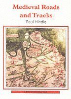
Starting with the basic concept of a 'road' in medieval times, and discussing the increasing need to travel, this book explores the evidence from documents and maps that provide clues as to where the roads of medieval Britain led, connecting the study of individual roads together to paint an image of the broader road network.
Häftad, Engelska, 2019
110 kr
Skickas
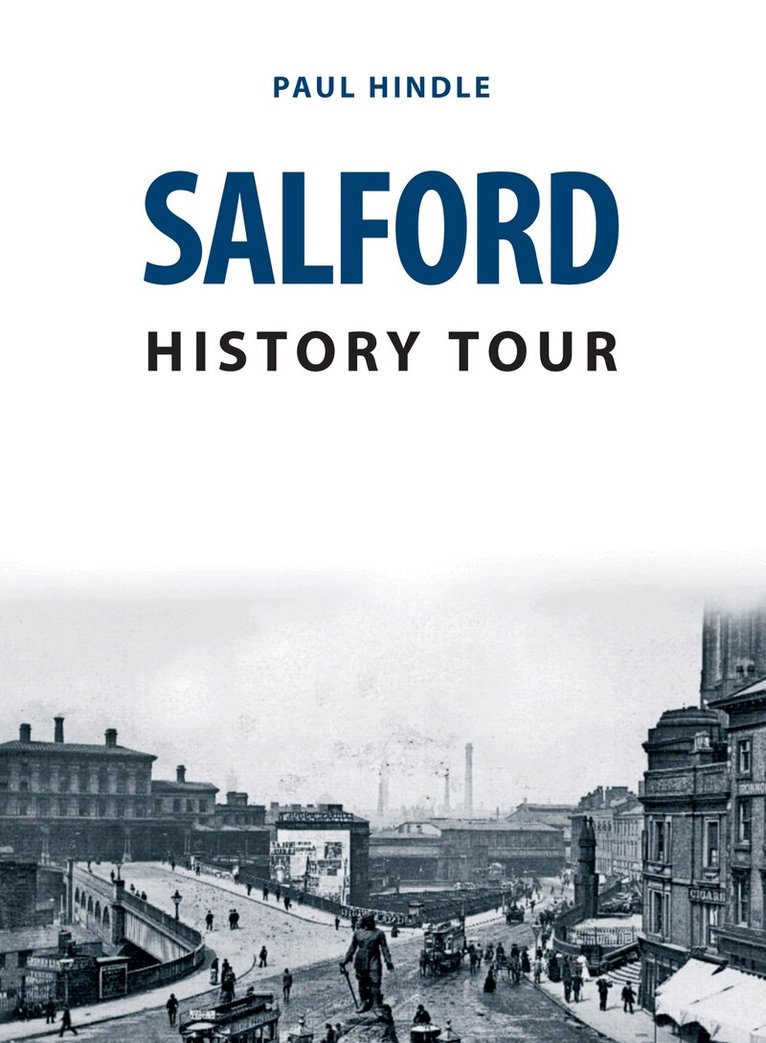
Salford is often seen as the smaller twin of Manchester, its neighbour across the River Irwell. In fact, Salford was a borough long before Manchester achieved that status, but during the Industrial Revolution Manchester grew more rapidly. In the eighteenth and nineteenth centuries, the local economy was driven by the textiles industry and the town’s location as a port on the Manchester Ship Canal. Although it entered a period of industrial decline in the twentieth century, Salford today is an up-and-coming area, home to Media City.Join local author Paul Hindle in as he guides readers on a fascinating walk through the town and its history. Along the route readers will be able to see how Salford has changed through the nineteenth and twentieth centuries. With the help of a handy location map, this pocket-sized guide explores some of the streets, buildings and landmarks, and discovers the well-known and hidden aspects of Salford’s heritage.
Häftad, Engelska, 2020
182 kr
Skickas
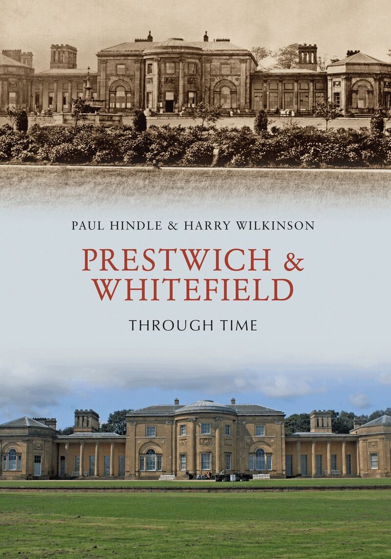
Prestwich and Whitefield are closely linked townships that have been separated by the construction of the M60. With a combined population of around 55,000, they are considered to be prestigious suburbs of north Manchester. They are now part of Bury Metropolitan Borough Council. In this book, authors Paul Hindle and Harry Wilkinson offer a nostalgic visual chronicle of Prestwich and Whitefield through the decades.Prestwich is the older of the townships and its parish church, St Mary’s, dates back to Norman times, though the present church was begun in the fifteenth century. Much of Whitefield was part of the medieval Pilkington Park, and Clive of India attended Stand Grammar School there. Whitefield became a separate local government area in 1886, but it boasts one of the churches funded after the Napoleonic Wars. Between the two areas is the famous Besses o’ th’ Barn, named after a former local innkeeper. To the west is the Irwell Valley and Philips Park, while to the east is Heaton Park, once the seat of the Earls of Wilton. Prestwich & Whitefield Through Time will be of interest to local people and anyone with links to the area.
Inbunden, Engelska, 1998
169 kr
Tillfälligt slut
Old maps provide a rich source of information for all those interested in their local history and they are also a popular field for collectors. Dr. Hindle’s describes the different types of map produced, explains what they were intended to show and where to find them.
Häftad, Engelska, 2001
175 kr
Tillfälligt slut
Major features of the landscape, roads and tracks are often ignored by those who use them. Yet they can tell us much about a locality and the social and economic life of the past. The earliest trade routes date back far into pre-history, long before the Romans imposed their military network. This book provides penetrating new insight into our network of ancient, old and new roads and tracks.