
Roberto Scarpa – författare
Visar alla böcker från författaren . Handla med fri frakt och snabb leverans.
6 produkter
6 produkter
E-bok
PDF, Engelska, 2012712 kr
Läs direkt efter köp
Häftad, Engelska, 1988
543 kr
Skickas inom 10-15 vardagar
La Reunion is an oceanic intra-plate volcanic island located at the southern-most part 0 of the Mascarene Basin at 21 0 07' S, 55 32' E (Figure 1). It lies south of the Mascarene Plateau and Mauritius Island but is a distinct topographic feature on the rather flat ocean bottom of the Mascarene Basin, whose age is paleocene in the vicinity of the island (Schlich, 1982), and whose lowest point is more than 4000m deep. La Reunion is ellip- tical in shape (50 X 70 km) with a NW-SE elongation. It is composed of two volcanoes: Piton des Neiges and Piton de la Fournaise. A third volcanic structure has been recent- ly discovered on the east submarine flank of the island (Unat et aI. , submitted). Piton des Neiges, a dormant and deeply eroded volcano, rises to a height of 3069 m and oc- cupies the northwestern two-thirds of the island. Piton de la Fournaise (2630 m), one of the most active basaltic volcanoes in the world, began to grow more than 3. 5 X 1O~ years ago on the southeast flank of Piton des Neiges. The evolution of Piton de la Fournaise (Chevallier and Bachclery, 1981) is marked by the formation of three sub-concentric nested calderas (Figure 2).The boundaries of the two older calderas are more or less buried or eroded.
E-bok
PDF, Engelska, 20121 367 kr
Läs direkt efter köp
For many centuries people living on volcanoes have known that the outset of seismic activity is often a forerunner of a volcanic eruption. This understand ing allowed people living close to the sites of the Mt. Nuovo 1538 eruption at Campi Flegrei, Italy, and of the Mt. Usu 1663 eruption, in Hokkaido, Japan (to quote only two examples) to flee before the eruptions started. During the second half of the 19th century seismographs were installed on some volcanoes, and the link between seismic and eruptive activity started to be assessed on a firmer scientific basis. The first systematic observations of the correlations existing between seismic activity and volcanic eruptions were probably those carried out at Mt. Vesuvius by Luigi Palmieri in 1856. Palmieri was the Director of Osservatorio Vesuviano and built an electromagnetic seismograph with the aim of "making visible the smallest ground motions by recording them on paper and indicating direction, intensity and duration". He was able to show the relationship between earthquakes and the different phases of volcanic activity. He identified the harmonic tremor which he indicated was a precursor of volcanic activity: "the characteristic feature of the ground mo tions preceding eruption is its continuity . . . (before the eruption of 1861) the electromagnetic seismograph began to show a continuous tremor". The Palmieri seismograph was also utilized in Japan until 1883, when it was replaced by the new Gray-Milne seismographs, and, later, by the Omori in struments.

Del 3 - IAVCEI Proceedings in Volcanology
Volcanic Seismology
Häftad, Engelska, 2011
1 079 kr
Skickas inom 10-15 vardagar
For many centuries people living on volcanoes have known that the outset of seismic activity is often a forerunner of a volcanic eruption. This understand ing allowed people living close to the sites of the Mt. Nuovo 1538 eruption at Campi Flegrei, Italy, and of the Mt. Usu 1663 eruption, in Hokkaido, Japan (to quote only two examples) to flee before the eruptions started. During the second half of the 19th century seismographs were installed on some volcanoes, and the link between seismic and eruptive activity started to be assessed on a firmer scientific basis. The first systematic observations of the correlations existing between seismic activity and volcanic eruptions were probably those carried out at Mt. Vesuvius by Luigi Palmieri in 1856. Palmieri was the Director of Osservatorio Vesuviano and built an electromagnetic seismograph with the aim of "making visible the smallest ground motions by recording them on paper and indicating direction, intensity and duration". He was able to show the relationship between earthquakes and the different phases of volcanic activity. He identified the harmonic tremor which he indicated was a precursor of volcanic activity: "the characteristic feature of the ground mo tions preceding eruption is its continuity . . . (before the eruption of 1861) the electromagnetic seismograph began to show a continuous tremor". The Palmieri seismograph was also utilized in Japan until 1883, when it was replaced by the new Gray-Milne seismographs, and, later, by the Omori in struments.
E-bok
PDF, Engelska, 20122 049 kr
Läs direkt efter köp
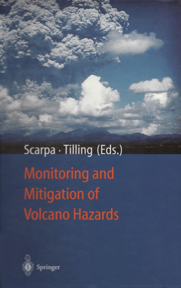
By the year 2000, the population worldwide at risk from volcanic hazards is likely to increase to about half a billion. Since 1980, significant advances have been made in volcano monitoring, data from which provide the sole scientific basis for eruption prediction. In this book, internationally renowned specialists provide 25 comprehensive articles covering a wide range of related topics: monitoring techniques and data analysis; modelling of monitoring data and eruptive pheneomena; volcanic hazards and risk assessment; and volcanic emergency management. Reviews of selected case histories of recent volcanic disasters demenostrate that effective communication - between scientists, civil authorities, news media and population - are essential to reduce volcanic risks.
Häftad, Engelska, 2012
1 615 kr
Skickas inom 10-15 vardagar
By the year 2000, the population worldwide at risk from volcanic hazards is likely to increase to about half a billion. Since 1980, significant advances have been made in volcano monitoring, data from which provide the sole scientific basis for eruption prediction. In this book, internationally renowned specialists provide 25 comprehensive articles covering a wide range of related topics: monitoring techniques and data analysis; modelling of monitoring data and eruptive pheneomena; volcanic hazards and risk assessment; and volcanic emergency management. Reviews of selected case histories of recent volcanic disasters demenostrate that effective communication - between scientists, civil authorities, news media and population - are essential to reduce volcanic risks.