
Susan Schulten – författare
Visar alla böcker från författaren . Handla med fri frakt och snabb leverans.
9 produkter
9 produkter
Häftad, Engelska, 2024
594 kr
Kommande
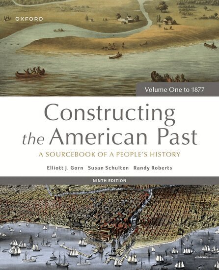
Constructing the American Past: A Sourcebook of a People's History, Ninth Edition, presents an innovative combination of case studies and primary source documents that allow students to discover, analyze, and construct history from the actors' perspective.Beginning with Christopher Columbus and his interaction with the Spanish crown in 1492, and ending in the Reconstruction-era United States, Constructing the American Past provides eyewitness accounts of historical events, legal documents that helped shape the lives of citizens, and excerpts from diaries that show history through an intimate perspective. The authors expand upon past scholarship and include new material regarding gender, race, and immigration in order to provide a more complete picture of the past.
E-bok
Engelska, 2024627 kr
Läs direkt efter köp
Constructing the American Past: A Sourcebook of a People''s History, Ninth Edition, presents an innovative combination of case studies and primary source documents that allow students to discover, analyze, and construct history from the actors'' perspective.Beginning with Christopher Columbus and his interaction with the Spanish crown in 1492, and ending in the Reconstruction-era United States, Constructing the American Past provides eyewitness accounts of historical events, legal documents that helped shape the lives of citizens, and excerpts from diaries that show history through an intimate perspective. The authors expand upon past scholarship and include new material regarding gender, race, and immigration in order to provide a more complete picture of the past.
Häftad, Engelska, 2024
594 kr
Kommande
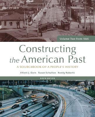
Constructing the American Past: A Sourcebook of a People's History, Ninth Edition, presents an innovative combination of case studies and primary source documents that allow students to discover, analyze, and construct history from the actors' perspective.Beginning with Reconstruction-era United States and ending with modern conservatism at the end of the twentieth century, Constructing the American Past provides eyewitness accounts of historical events, legal documents that helped shape the lives of citizens, and excerpts from diaries that show history through an intimate perspective. The authors expand upon past scholarship and include new material regarding gender, race, and immigration in order to provide a more complete picture of the past.
E-bok
Engelska, 2024627 kr
Läs direkt efter köp
emConstructing the American Past: A Sourcebook of a People''s History/em, Ninth Edition, presents an innovative combination of case studies and primary source documents that allow students to discover, analyze, and construct history from the actors'' perspective.Beginning with Reconstruction-era United States and ending with modern conservatism at the end of the twentieth century, emConstructing the American Past/em provides eyewitness accounts of historical events, legal documents that helped shape the lives of citizens, and excerpts from diaries that show history through an intimate perspective. The authors expand upon past scholarship and include new material regarding gender, race, and immigration in order to provide a more complete picture of the past.
Häftad, Engelska, 2013
295 kr
Skickas inom 5-8 vardagar
In the nineteenth century, Americans began to use maps in extraordinary new ways. Medical men mapped diseases to understand epidemics, natural scientists mapped climate to uncover weather patterns, and Northerners created slave maps to assess the power of the South. And after the Civil War, federal agencies embraced statistical and thematic mapping in order to profile the ethnic, racial, economic, moral, and physical attributes of a reunified nation. In Mapping the Nation, Susan Schulten charts how thematic maps demonstrated the analytical potential of cartography. This radical shift in spatial thought and representation opened the door to the idea that maps were not just illustrations of data, but visual tools that are uniquely equipped to convey complex ideas, changing forever the very meaning of a map.
Inbunden, Engelska, 2018
422 kr
Skickas inom 3-6 vardagar
Häftad, Engelska, 2002
321 kr
Skickas inom 5-8 vardagar
In this rich and fascinating history, Susan Schulten tells a story of Americans beginning to see the world around them, tracing U.S. attitudes toward world geography from the end of nineteenth-century exploration to the explosion of geographic interest before the dawn of the Cold War. Focusing her examination on four influential institutions - maps and atlases, the National Geographic Society, the American university, and public schools - Schulten provides an engaging study of geography, cartography, and their place in popular culture, politics, and education.
Inbunden, Engelska, 2012
846 kr
Skickas inom 5-8 vardagar
In the nineteenth century, Americans began to use maps in radically new ways. For the first time, medical men mapped diseases to understand and prevent epidemics, natural scientists mapped climate and rainfall to uncover weather patterns, educators mapped the past to foster national loyalty among students, and Northerners mapped slavery to assess the power of the South. After the Civil War, federal agencies embraced statistical and thematic mapping in order to profile the ethnic, racial, economic, moral, and physical attributes of a reunified nation. By the end of the century, Congress had authorized a national archive of maps, an explicit recognition that old maps were not relics to be discarded but unique records of the nation's past. All of these experiments involved the realization that maps were not just illustrations of data, but visual tools that were uniquely equipped to convey complex ideas and information. In "Mapping the Nation", Susan Schulten charts how maps of epidemic disease, slavery, census statistics, the environment, and the past demonstrated the analytical potential of cartography, and in the process transformed the very meaning of a map.Today, statistical and thematic maps are so ubiquitous that we take for granted that data will be arranged cartographically. Whether for urban planning, public health, marketing, or political strategy, maps have become everyday tools of social organization, governance, and economics. The world we inhabit-saturated with maps and graphic information-grew out of this sea change in spatial thought and representation in the nineteenth century, when Americans learned to see themselves and their nation in new dimensions.
Inbunden, Engelska, 2018
325 kr
Skickas
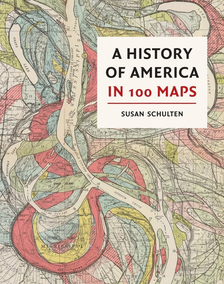
In this richly visual narrative, acclaimed historian Susan Schulten explores five centuries of American history through maps. From the voyages of European discovery to the digital age, she reveals the many ways that maps have shaped history. Whether made for military strategy or urban reform, to encourage settlement or to investigate disease, maps have the power to illuminate and complicate our understanding of the past. Schulten draws on both official and ephemeral artefacts - maps of exploration, political conflict and territorial control as well as education, science and tourism. Many of the maps in this volume have been deemed important for their role in exploration, statecraft, and diplomacy. But readers will also find lesser-known maps made by soldiers on the front, Native American tribal leaders, and the first generation of girls to be publicly educated.By exploring both iconic as well as unfamiliar treasures, Susan Schulten offers us a fresh perspective on the American past. Most of the maps in this book are from the British Library collection - the richest storehouse of American mapping outside North America. Many have not been reproduced before.