Lonely Planet Munich City Map
Durable, Waterproof, Easy-Fold Planning Map with Attractions & Walking Tours
76 kr
Beställningsvara. Skickas inom 5-8 vardagar. Fri frakt över 249 kr.
Beskrivning
Experience your dream trip with Lonely Planet's Munich City Map, the ultimate travel tool to help you plan and navigate your way around amazing local sights, landmarks and attractions.Drink ale in the company of a rabble-rousing oompah band at Weisses Brauhaus, take a stroll through the idyllic Englischer Garten, gaze at modern artistic masterpieces at Pinakothek der Moderne, and decide where you want to go next and what you want to see in each of the city's exciting neighbourhoods.Inside Lonely Planet's Munich City Map:Full colour map in a durable easy-fold formatSheet size: 24.8” (630mm) wide x 19.5” (494mm) high, folded size: 3.74” (95mm) wide x 7.76” (197mm) highWaterproof and packaged in a handy slipcaseAlphanumeric grid to find points of interest easilyPublic transport explained to help you get aroundTop picks of must-see highlights including Alte Pinakothek, Münchner Stadtmuseum, and HolareidulijöEssential travel tips and nuts and bolts information on speaking like a local, tickets, travelling to and from the airport, and a walking tourBeautiful photography and bonus zoomed-in Munich Transit MapCovers: Altstadt, Maxvorstadt, Schwabing and the Englischer Garten, Haidhausen and Lehel, Nymphenburg, Neuhausen and Olympiapark, Westend and Theresienwiese, and more Get ready for your next adventure with Lonely Planet's Munich City Map, the ultimate navigation tool to help you explore Munich's well-known attractions and best-kept secrets.
Produktinformation
Utforska kategorier
Hoppa över listan

Mer från samma författare
- Nyhet
Lonely Planet Estonia, Latvia & Lithuania
Lonely Planet, Anna Kaminski, Leonid Ragozin, Angelo Zinna
Häftad, 2026
201 kr
Lonely Planet Central Asia
Lonely Planet, Bradley Mayhew, Mark Elliott, Anna Kaminski, Stephen Lioy
Häftad, 2025
233 kr
- Nyhet
Lonely Planet Poland
Lonely Planet, Simon Richmond, Marc Di Duca, Anthony Haywood, Anna Kaminski, Ryan Ver Berkmoes
Häftad, 2026
201 kr
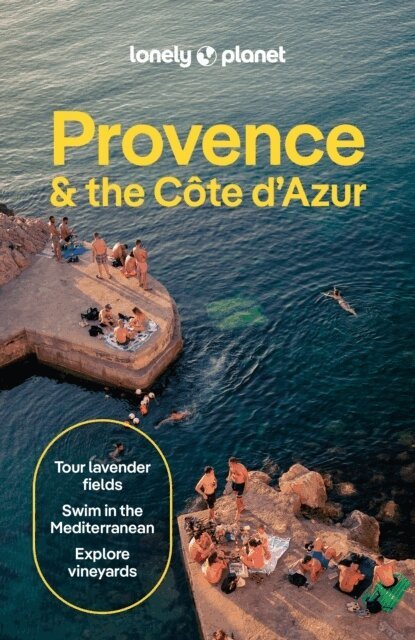
Lonely Planet Provence & the Cote d'Azur
Lonely Planet, Chrissie McClatchie, Alexis Averbuck, Michael Frankel, Ashley Parsons
Häftad, 2026
215 kr
Hoppa över listan
Mer från samma serie
Lonely Planet Copenhagen City Map
Lonely Planet, O' Thomas Malley, Abigail Blasi, Laura Hall, Lonely Planet
76 kr