
Collins Road Atlas – serie
Visar alla böcker i serien Collins Road Atlas. Handla med fri frakt och snabb leverans.
13 produkter
13 produkter
Häftad, Engelska, 2026
107 kr
Skickas
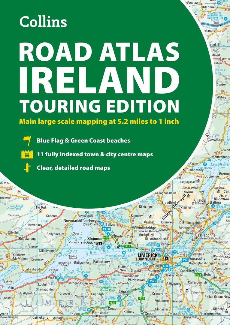
Explore Ireland with this accurate and fully updated road atlas.This road atlas is at A4 size, covering the whole of Ireland and features clear and detailed Collins colour mapping at a scale of 5.2 miles to 1 inch. Perfect for both residents and visitorstouring Ireland.This revised edition includes: Places of tourist interestContact information for Tourist Information Centres with grid references to the mappingFully indexed street maps of 11 cities and towns – Dublin, Belfast, Cork, Limerick, Waterford,Londonderry (Derry), Galway, Bangor, Dun Laoghaire, Drogheda and KillarneyBlue Flag & Green Coast beachesFerry and airport information; Distance chart; Distances marked on the roads in miles and kilometresRoute planning map of the whole of Ireland at 15.8 miles to 1 inchAdministrative map of Irish counties and districts.
Häftad, Engelska, 2025
189 kr
Skickas inom 5-8 vardagar
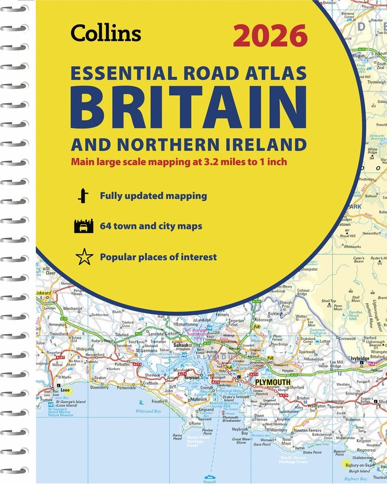
Explore Britain with easy-to-read mapping from Collins.This A4, spiral-bound road atlas provides clear and detailed road mapping for England, Wales and Southern Scotland at a scale of 3.2 miles to 1 inch (1:200,000). For Northern Scotland the mapping is at a scale of 4.2 miles to 1 inch (1:266,000), with land height shown by different layers of colouring. Main features: Route planning section including maps at a scale of 22 miles to 1 inch, motorway services information, and a handy distance calculator chartMore than 20 urban approach maps at a larger scale which clearly show the best routes through and into built-up areas64 street maps focused on town centres showing places of interest, car park locations and one-way streets. All the street maps are fully indexedOver 30 categories of places of interest including castles, theme parks, sports venues, universities, mountain bike trails and surfing beachesThe top 1000 most visited places of interest are indexed with full postcodes to aid integration with sat-nav systemsUpdated Park & Ride locations, new rail stations and extensions to tram lines in Blackpool and EdinburghThis is the ideal purchase for drivers, navigators and route planners who want the very best road atlas of Britain in an A4 format.
Häftad, Engelska, 2026
189 kr
Skickas inom 5-8 vardagar
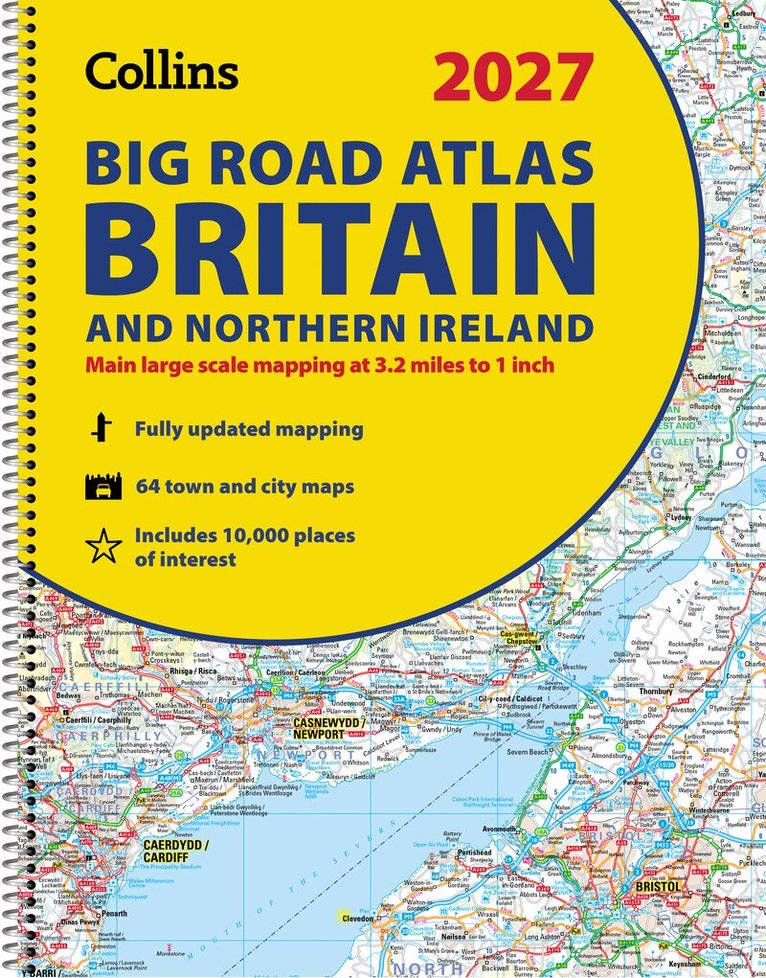
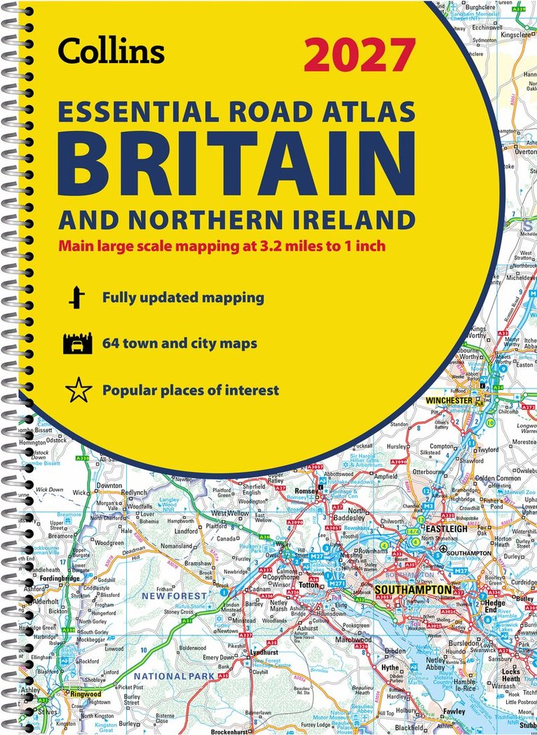
Explore Britain with easy-to-read mapping from Collins.The ultimate 3.2 miles to 1 inch scale large-format, spiral-bound road atlas of Britain, featuring Collins’ popular and well-established road mapping, and designed for exceptional clarity and ease of use.The atlas has a wide range of urban area maps at even larger scale and 64 detailed town centre street plans.This fully updated road atlas covers the whole of Britain with each scale of mapping colour-coded for ease of use. The smallest scale maps are great for long-distance route planning and the street plans help you locate your final destination. Main features: Easy to use, clear road maps at a scale of 3.2 miles to 1 inch of England, Wales and Southern Scotland. Northern Scotland is shown at 5 miles to 1 inchRoute-planning section including maps at a scale of 15.8 miles to 1 inch, motorway services information and a handy distance calculator22 urban area approach maps at 1 mile to 1 inch which clearly show the best routes through and into urban areas64 street maps focused on town centres showing places of interest, car park locations and one-way streetsUpdated Park & Ride locations, new rail stations and extensions to tram lines in Blackpool and EdinburghOver 30 categories of places of interest including castles, theme parks, sports venues and surfing beachesFull postcodes for the top 1000 places of interest – ideal for use alongside sat-nav systemsNow includes dual Welsh / English names for Welsh locations, for example, Caerdydd / Cardiff
Engelska, 2023
85 kr
Tillfälligt slut
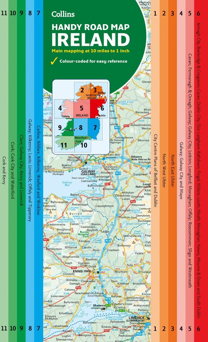
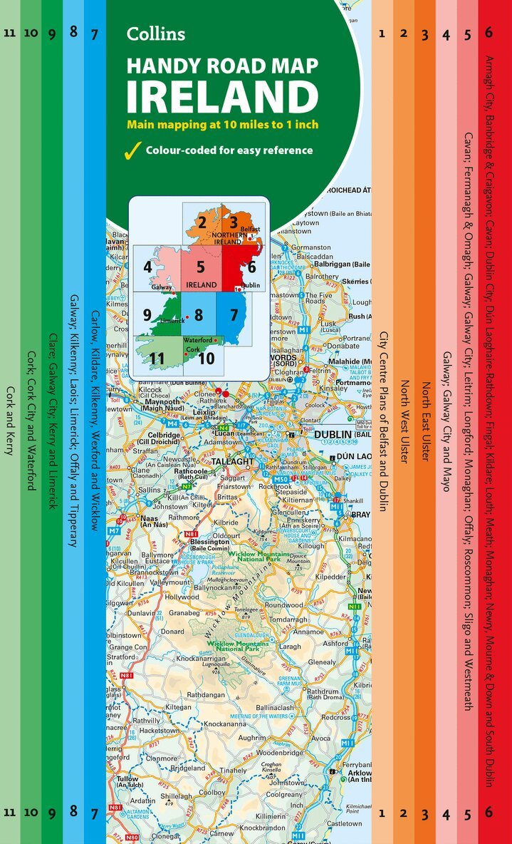
Explore new places with this comprehensive map of Ireland from Collins.An easy-to-use route-planning map covering the whole of Ireland. It has the convenience of an atlas with all the benefits of a fold out map, and features clear, full-colour road maps at 10 miles to 1 inch, plus city centre plans of Belfast and Dublin.The map is laminated on both sides making it durable and good value.Features of this map include: Clear detailed mapping with attractive layer colours showing heightPlaces of tourist interest and Tourist Information Centres shownDistance chart on the back of the map in both miles and kilometresDistances shown on the roads to aid journey planning
105 kr
Tillfälligt slut
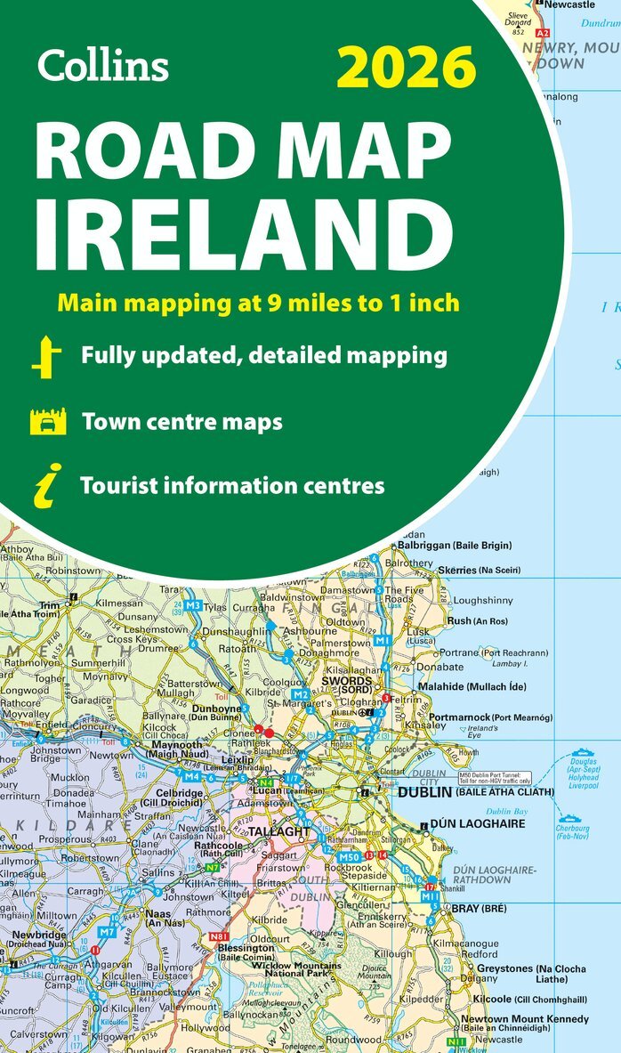
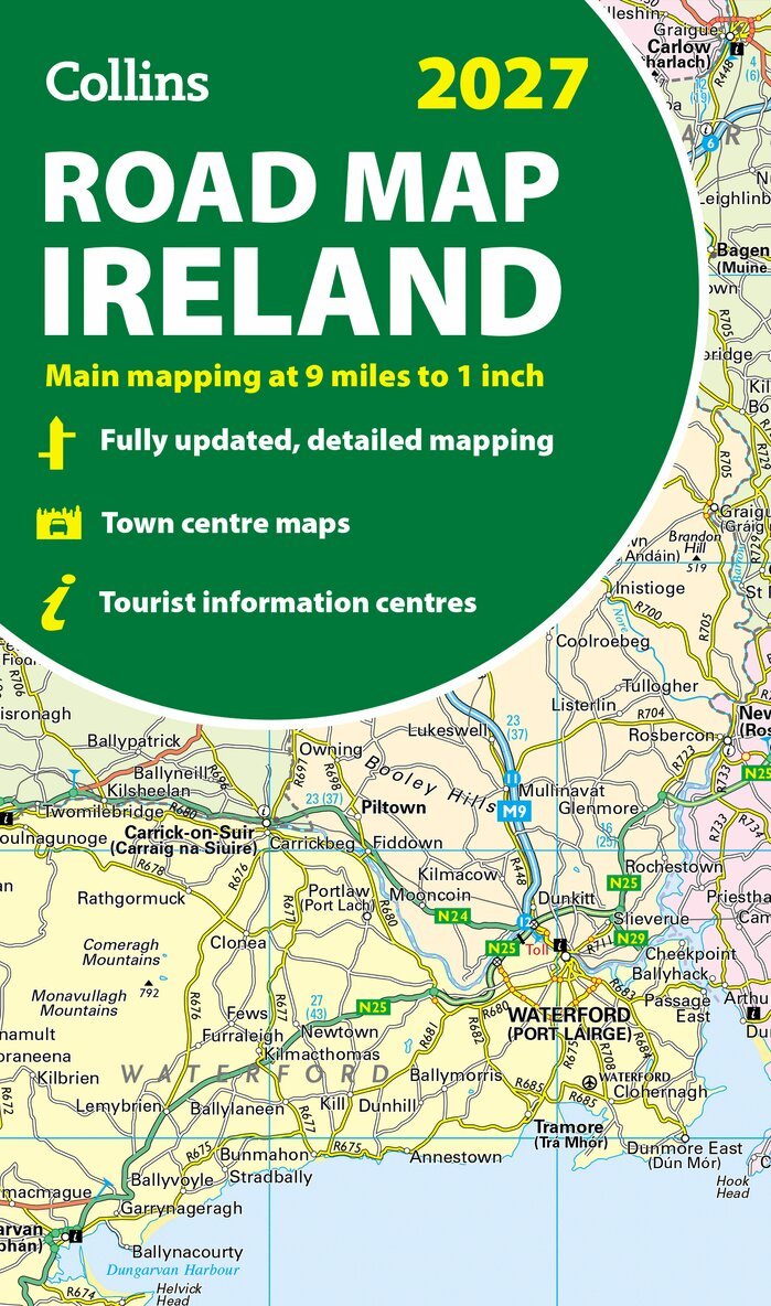
Explore Ireland with easy-to-read mapping from Collins.Full-colour map of Ireland at 9 miles to 1 inch (1:570,240), with clear, detailed road network and counties and new administrative areas shown in colour. This double-sided map covers the whole of Ireland, and is ideal for reference or route planning.This map of Ireland shows the road network in detail. It is ideal for business users, with colouring of local council areas, but it is also perfect for tourists as a route planning map. Main features include: Fully updatedNew administrative areas shown in colourClear, detailed road networkTown and city names, rivers, lakes, spot heights, railway lines and canals are clearly shownCity/town centre street plans of Belfast, Cork, Dublin, Dún Laoghaire, Galway, Limerick, Londonderry/Derry and Waterford showing places of interestFull index to place namesMileage chartCar ferry routesKey in English, French and GermanArea of coverageCovers the whole of the Republic of Ireland and Northern Ireland
108 kr
Tillfälligt slut
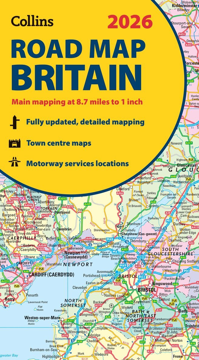
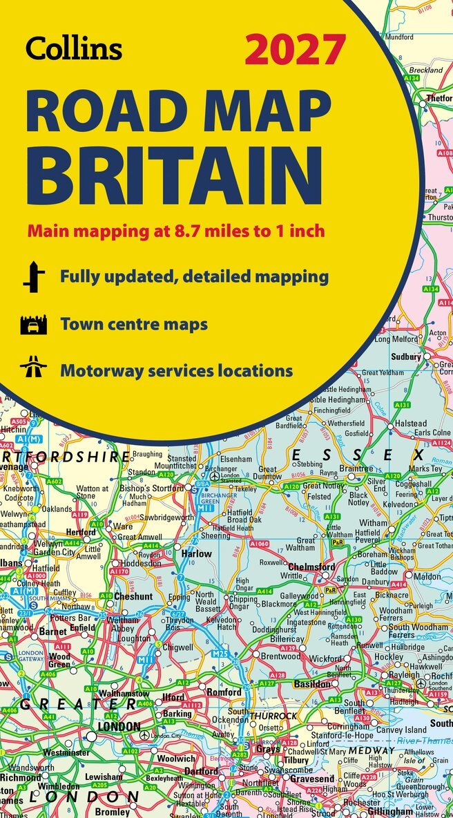
Explore Britain with easy-to-read mapping from Collins.Full-colour, double-sided road map of Great Britain at a scale of 8.7 miles to 1 inch. Northern England, Scotland and the Isle of Man are on one side with Southern England and Wales on the other.With its easily identifiable counties and unitary authorities,this map is ideal for business users but it is also perfect for tourists for route planning. Main features: Fully updatedCounties and local council areas shown in colourClear, detailed road networkTown and city names, rivers and canals are clearly shown16 city/town centre street plansIndex to place namesMileage chartCar ferry routesKey in English, French and German
Engelska, 2025
108 kr
Tillfälligt slut
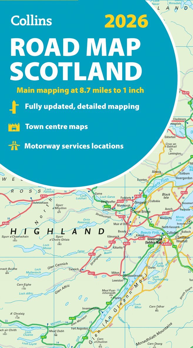
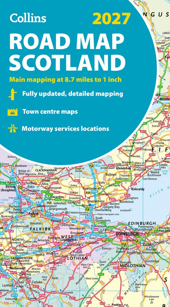
Explore Scotland with easy-to-read mapping from Collins.Full-colour map of Scotland at 8.7 miles to 1 inch, with clear road network and administrative areas shown in colour. The map covers the whole of Scotland and part of Northern England conveniently on one side, and is ideal for reference or route planning.The map shows the road network in detail for easy route planning and has easily identifiable local council areas and boundaries. The main features of this road map are: Fully updatedAdministrative areas shown in colourClear, detailed road network and road distancesTown and city names, rivers and canals are clearly shown7 city/town centre street plans showing places of interestIndex to place namesMileage chartCar ferry routesKey in English, French and German
Häftad, Engelska, 2026
189 kr
Tillfälligt slut
Explore Britain with easy-to-read mapping from Collins.This A4, spiral-bound road atlas provides clear and detailed road mapping for England, Wales and Southern Scotland at a scale of 3.2 miles to 1 inch (1:200,000). For Northern Scotland the mapping is at a scale of 4.2 miles to 1 inch (1:266,000), with land height shown by different layers of colouring. Main features: Route-planning section including maps at a scale of 22 miles to 1 inch, motorway services information, and a handy distance calculator chartMore than 20 urban approach maps at a larger scale which clearly show the best routes through and into built-up areas64 street maps focused on town centres showing places of interest, car park locations and one-way streets. All the street maps are fully indexedOver 30 categories of places of interest including castles, theme parks, sports venues, universities, mountain bike trails and surfing beachesThe top 1000 most visited places of interest are indexed with full postcodes to aid integration with sat-nav systemsUpdated Park & Ride locations, new rail stations and extensions to tram lines in Blackpool and EdinburghNow includes dual Welsh / English names for Welsh locations, for example, Caerdydd / CardiffThis is the ideal purchase for drivers, navigators and route planners who want the very best road atlas of Britain in an A4 format.
Häftad, Engelska, 2026
85 kr
Tillfälligt slut
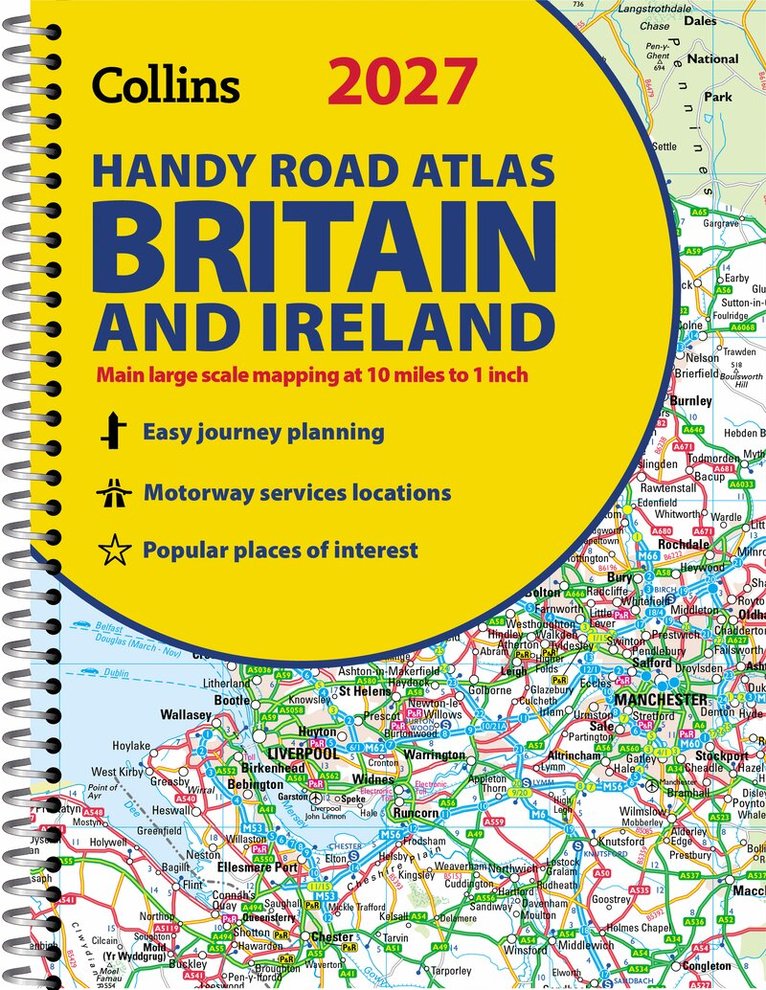
Explore Britain with easy-to-read mapping from Collins.This easy-to-use, handy A5 road atlas with spiral binding features extremely clear route planning maps of Britain and Ireland, and fits neatly into your glove box or bag.The maps of Britain are at 10 miles to 1 inch (1:625,000) and the whole of Ireland is covered at 15.8 miles to 1 inch (1:1,000,000). There is also a selection of more detailed urban area maps at 4.5 miles to 1 inch (1:285,000) to aid route planning in these busy areas. Main features: Road maps that focus on the main roads, motorways and settlementsMore detailed maps of London, Manchester, Merseyside and West MidlandsUpdated Park & Ride locations, new rail stations and extensions to tram lines in Blackpool and EdinburghHandy distance calculator chart highlighting distances between the major townsOver 30 categories of places of interest including castles, theme parks, sports venues and surfing beachesNow includes dual Welsh / English names for Welsh locations, for example, Caerdydd / Cardiff
108 kr
Tillfälligt slut
Explore Britain with easy-to-read mapping from Collins.Full-colour, double-sided road map of Great Britain at a scale of 8.7 miles to 1 inch. Northern England, Scotland and the Isle of Man are on one side with Southern England and Wales on the other.With its easily identifiable counties and unitary authorities, this map is ideal for business users but it is also perfect for tourists for route planning. Main features: Fully updatedCounties and local council areas shown in colourClear, detailed road networkTown and city names, rivers and canals are clearly shown16 city/town centre street plansIndex to place namesMileage chartCar ferry routesKey in English, French and GermanNow includes dual Welsh / English names for Welsh locations, for example, Caerdydd / Cardiff
105 kr
Tillfälligt slut
Explore Ireland with easy-to-read mapping from Collins.Full-colour map of Ireland at 9 miles to 1 inch (1:570,240), with clear, detailed road network and counties and new administrative areas shown in colour. This double-sided map covers the whole of Ireland, and is ideal for reference or route planning.This map of Ireland shows the road network in detail. It is ideal for business users, with colouring of local council areas, but it is also perfect for tourists as a route planning map. Main features include: Fully updatedNew administrative areas shown in colourClear, detailed road networkTown and city names, rivers, lakes, spot heights, railway lines and canals are clearly shownCity/town centre street plans of Belfast, Cork, Dublin, Dún Laoghaire, Galway, Limerick, Londonderry/Derry and Waterford showing places of interestFull index to place namesMileage chartCar ferry routesKey in English, French and GermanArea of coverageCovers the whole of the Republic of Ireland and Northern Ireland
108 kr
Tillfälligt slut
Explore Scotland with easy-to-read mapping from Collins.Full-colour map of Scotland at 8.7 miles to 1 inch, with clear road network and administrative areas shown in colour. The map covers the whole of Scotland and part of Northern England conveniently on one side, and is ideal for reference or route planning.The map shows the road network in detail for easy route planning and has easily identifiable local council areas and boundaries. The main features of this road map are: Fully updatedAdministrative areas shown in colourClear, detailed road network and road distancesTown and city names, rivers and canals are clearly shown7 city/town centre street plans showing places of interestIndex to place namesMileage chartCar ferry routesKey in English, French and German
Engelska, 2026
85 kr
Tillfälligt slut
Explore new places with this comprehensive map of Ireland from Collins.An easy-to-use route-planning map covering the whole of Ireland. It has the convenience of an atlas with all the benefits of a fold out map, and features clear, full-colour road maps at 10 miles to 1 inch, plus city centre plans of Belfast and Dublin.The map is laminated on both sides making it durable and good value.Features of this map include: Clear detailed mapping with attractive layer colours showing heightPlaces of tourist interest and Tourist Information Centres shownDistance chart on the back of the map in both miles and kilometresDistances shown on the roads to aid journey planning