
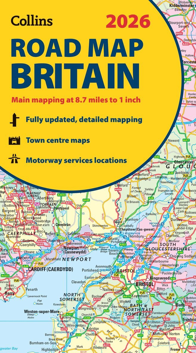
Collins Road Map of Britain 2027 (Folded Map)
Clear, Easy-to-Read Mapping
108 kr
Tillfälligt slut
Beskrivning
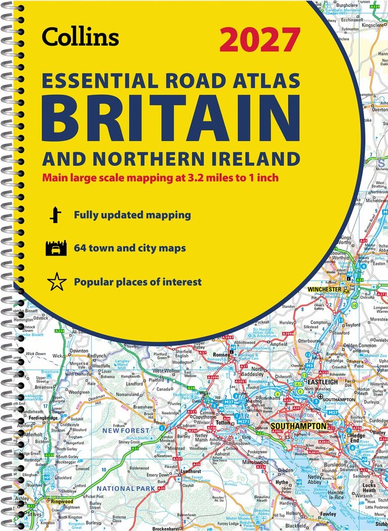
Explore Britain with easy-to-read mapping from Collins.Full-colour, double-sided road map of Great Britain at a scale of 8.7 miles to 1 inch. Northern England, Scotland and the Isle of Man are on one side with Southern England and Wales on the other.With its easily identifiable counties and unitary authorities, this map is ideal for business users but it is also perfect for tourists for route planning. Main features: Fully updatedCounties and local council areas shown in colourClear, detailed road networkTown and city names, rivers and canals are clearly shown16 city/town centre street plansIndex to place namesMileage chartCar ferry routesKey in English, French and GermanNow includes dual Welsh / English names for Welsh locations, for example, Caerdydd / Cardiff
Produktinformation
Utforska kategorier
Mer om författaren


Hoppa över listan
Mer från samma serie
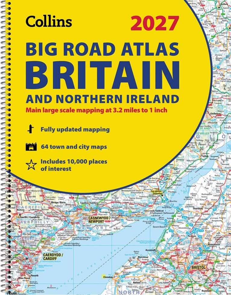
Collins Essential Road Atlas Britain and Northern Ireland 2027 (A4 Spiral)
Collins Maps
Häftad, 2026
189 kr
Hoppa över listan
Du kanske också är intresserad av
Collins Essential Road Atlas Britain and Northern Ireland 2027 (A4 Spiral)
Collins Maps
Häftad, 2026
189 kr