Häftad, Engelska, 2025
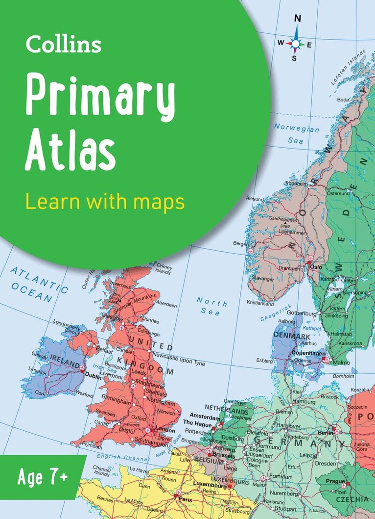
Collins Primary Atlas
Av Collins Maps
109 kr
Skickas måndag 19/10. Fri frakt över 249 kr.
Beskrivning
The must-have atlas for children aged 7-11Collins Primary Atlas is a great introduction to mapping of the UK, Europe and all major regions of the world. It supports the Key Stage 2 curriculum and is suitable for children aged 7-11 years.This new, fully up-to-date edition includes information on map reading skills, the meaning of scale and measuring distances, and is ideal for classroom use or home learning.Reference maps:• Informative, politically coloured and easy-to-read• National capitals and major cities are clearly labelled• Maps are supported with national flags and basic national statisticsContinental maps:• Linked to regional mapping• Supported by a selection of aerial and terrestrial photographs• Relief maps show layer colouring and highlight major physical featuresThis atlas is also available in a eBook format. The next atlas in the series is the Collins School Atlas, suitable for ages 11+ and KS3.
Produktinformation
- Utgivningsdatum: 2025-02-13
- Mått: 311 x 6 x 227 mm
- Vikt: 282 g
- Ålder: 6-9
- Format: Häftad
- Språk: Engelska
- Läsålder: 6-9
- Serie: Collins School Atlases
- Antal sidor: 68
- Upplaga: 8
- Förlag: HarperCollins Publishers
- ISBN: 9780008716516
- Miljömärkning: Produced using independently certified paper to ensure responsible forestry management. (Certification is by FSC, PEFC or SFI.)
Utforska kategorier
Betyg & recensioner
1 recensioner, genomsnitt 5/5
- 5/5 Katrine S Verifierat köp