
Collins School Atlases – serie
Visar alla böcker i serien Collins School Atlases. Handla med fri frakt och snabb leverans.
6 produkter
6 produkter
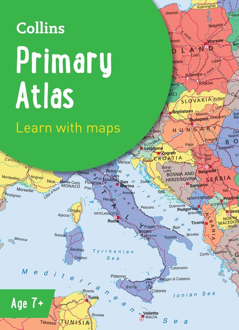
Häftad, Engelska, 2025, 6-9 år
106 kr
Skickas
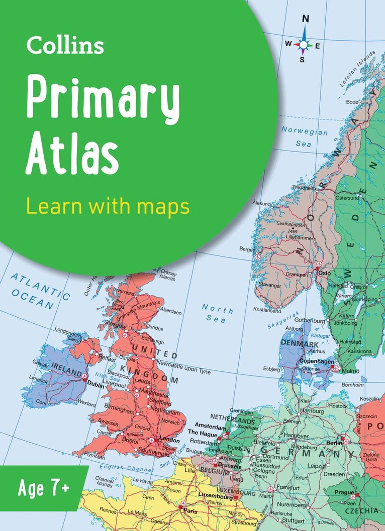
The must-have atlas for children aged 7-11Collins Primary Atlas is a great introduction to mapping of the UK, Europe and all major regions of the world. It supports the Key Stage 2 curriculum and is suitable for children aged 7-11 years.This new, fully up-to-date edition includes information on map reading skills, the meaning of scale and measuring distances, and is ideal for classroom use or home learning.Reference maps:• Informative, politically coloured and easy-to-read• National capitals and major cities are clearly labelled• Maps are supported with national flags and basic national statisticsContinental maps:• Linked to regional mapping• Supported by a selection of aerial and terrestrial photographs• Relief maps show layer colouring and highlight major physical featuresThis atlas is also available in a eBook format. The next atlas in the series is the Collins School Atlas, suitable for ages 11+ and KS3.
Häftad, Engelska, 2024
150 kr
Skickas inom 5-8 vardagar
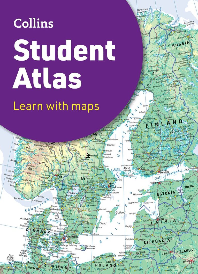
Fully revised and updated for 2024, this curriculum-supportive world atlas is the perfect tool for students aged 14-16 years (Key Stage 4, GCSE 9-1).Featuring up-to-date reference and thematic mapping, country-by-country statistics, and a fully comprehensive index. Colour coded for ease of useIncludes thematic maps and accompanying graphs and tablesCovers tourism, telecommunications, environmental and socio-economic topicsLists relevant web addresses on each thematic page so students can explore topics more deeplyHigh quality satellite imagery supports data on the maps and is used to illustrate key environmental issuesUp-to-date demographic and socio-economic statistics can be used to support geographical, tourist, mathematical, economic or IT projectsNow with a FREE online geographical dictionary!
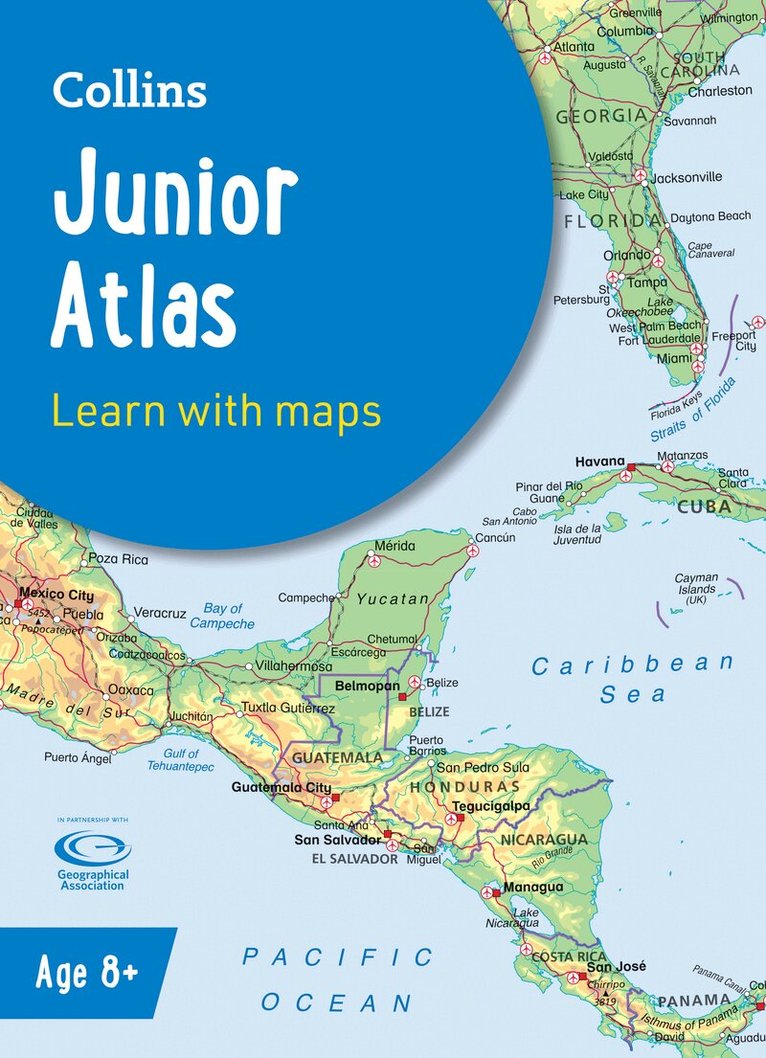
Häftad, Engelska, 2025, 9-12 år
128 kr
Skickas
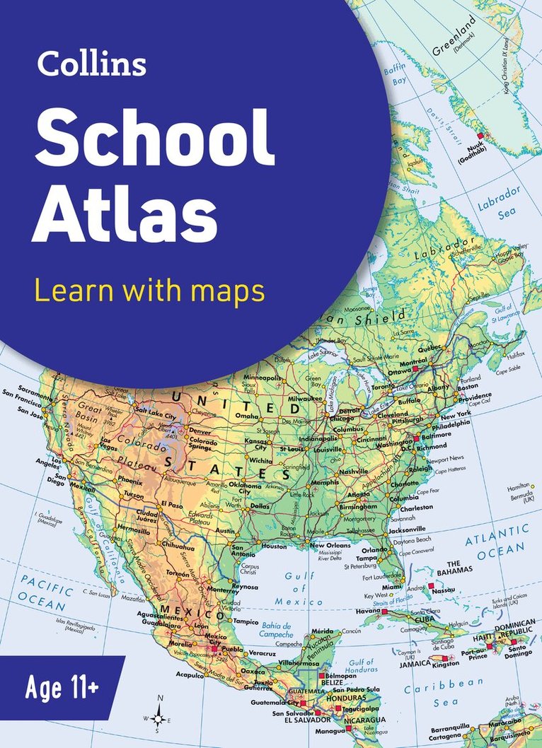
The must-have atlas for pupils aged 11-14Fully updated for 2025, this world atlas is designed to support Key Stage 3 students aged 11-14 years in developing their geographical and mapping skills. The content follows requirements of the National Curriculum and has been reviewed by educational experts.A clear, easy-to-read ‘Introducing Atlas Maps’ section explains key information and encourages development of map, atlas and data handling skills. Comprehensive reference maps include facts, photos, map keys and engaging descriptive text. An extended ‘World’ section covers all the global issues required by the National Curriculum, such as population, climate change and environmental issues.·Fully updated for the 2024-2025 school term·Clearly explains key information such as latitude and longitude, scale, projections, distance, symbols, satellite images and GIS·Includes focus country studies and covers global issues required by the National Curriculum·Map coverage of the United Kingdom and Ireland, Europe, Asia, Africa, North America, South America, Oceania and Antarctica·Ideal for classroom use or home learning·Suitable for ages 11-14 (KS3 and S1-S2)This book is also available in eBook format. The next book in the series is the Collins Student Atlas which is aimed at learners aged 15+.
Häftad, Engelska, 2026, 6-9 år
119 kr
Skickas
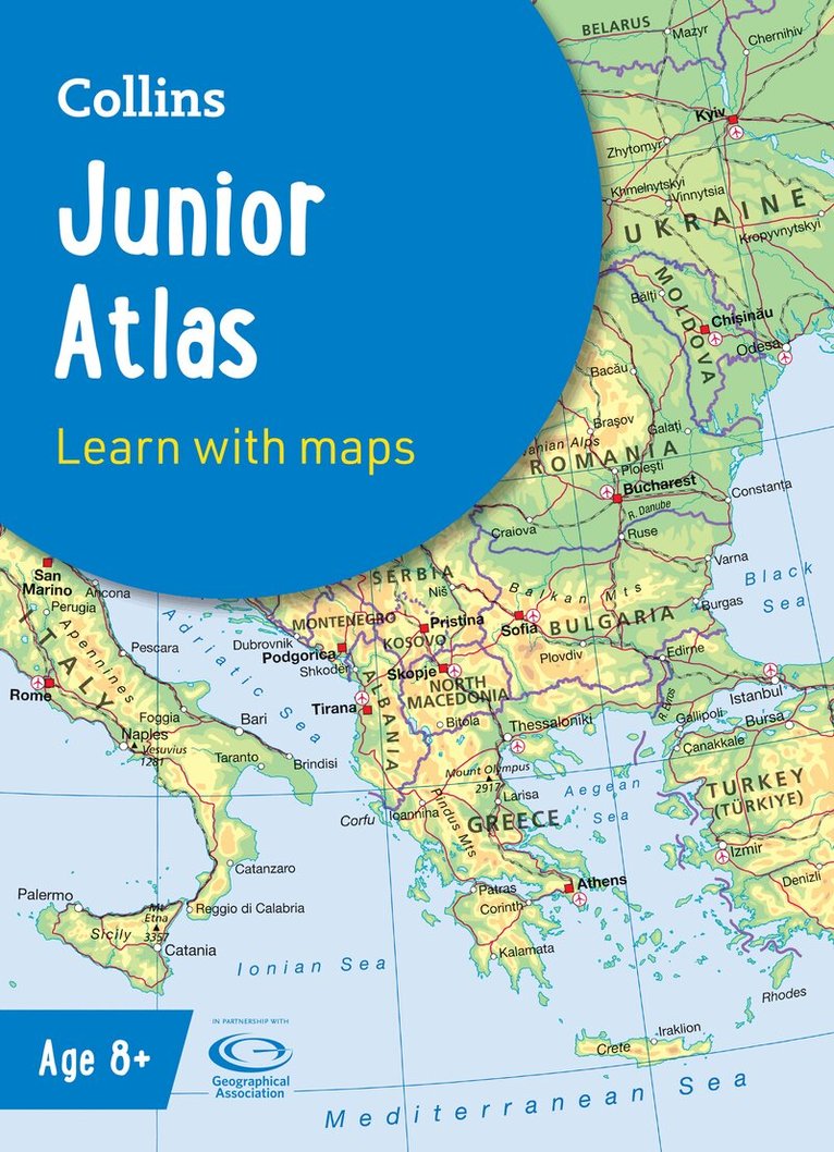
The must-have Atlas for Year 6Fully revised and updated, this is an ideal world reference atlas for young primary school geographers aged 8-11 years (Key Stage 2). Published in association with the Geographical Association, it enables children to learn about the world today and understand how maps and atlases work. The atlas is organised into sections covering the UK, Europe, the world and continents with more detailed larger scale maps of countries and regions popular for focus studies.It includes topics such as climate, population, migration, trade and environmental issues.Topographical based mapping helps the young geographer understand the processes which take place during the formation of the earth’s landscapes.The reference mapping is designed for maximum clarity and accessibility, and is supported by photographs and data boxes, with detailed map keys and scale information on each map.Specially selected topic maps give additional information linking to knowledge and understanding of distant places.Tables of key world country data include an Ecological Footprint figure for each country.Fully-updated in line with proposed curriculum changes.
Häftad, Engelska, 2022, 6-9 år
111 kr
Tillfälligt slut
The must-have atlas for children aged 7-11 Collins Primary Atlas is a great introduction to mapping of the UK, Europe and all major regions of the world. It supports the Key Stage 2 curriculum and is suitable for children aged 7-11 years.This new, fully up-to-date edition includes information on map reading skills, the meaning of scale and measuring distances, and is ideal for classroom use or home learning.Reference maps:• Informative, politically coloured and easy-to-read• National capitals and major cities are clearly labelled• Maps are supported with national flags and basic national statisticsContinental maps:• Linked to regional mapping• Supported by a selection of aerial and terrestrial photographs• Relief maps show layer colouring and highlight major physical featuresThis atlas is also available in a Kindle format. The next atlas in the series is the Collins School Atlas, suitable for ages 11+ and KS3.
Häftad, Engelska, 2023, 6-9 år
123 kr
Tillfälligt slut
The must-have Atlas for Year 6Fully revised and updated, this is an ideal world reference atlas for young primary school geographers aged 8-11 years (Key Stage 2). Published in association with the Geographical Association, it enables children to learn about the world today and understand how maps and atlases work. The atlas is organised into sections covering the UK, Europe, the world and continents with more detailed larger scale maps of countries and regions popular for focus studies.It includes topics such as climate, population, migration, trade and environmental issues.Topographical based mapping helps the young geographer understand the processes which take place during the formation of the earth’s landscapes.The reference mapping is designed for maximum clarity and accessibility, and is supported by photographs and data boxes, with detailed map keys and scale information on each map.Specially selected topic maps give additional information linking to knowledge and understanding of distant places.Tables of key world country data include an Ecological Footprint figure for each country.