• Fri frakt över 249 kr
  • •
  • Snabba leveranser
  • •
  • Billiga böcker
Kundservice

Du är på sajten för privatpersoner.

Företag, bibliotek eller offentlig verksamhet?

Du handlar på classic.bokus.com, där alla dina funktioner finns intakta.
Till classic.bokus.com
Bokus logotyp. Gå till startsidan.
  • Erbjudanden
  • Nyheter
  • Student
  • Topplistor
  • Barn & ungdom
  • Bokus Play
  • E-böcker
  • Pocketböcker
  • Spel & pussel

10% studentrabatt med kod TERM26

Sidfot

Mina sidor

    Hjälp

    • Kundservice
    • Vanliga frågor och svar
    • Frakt och leverans
    • Retur vid ångerrätt
    • Reklamera vara
    • Betalning
    • Köpvillkor
    • Allmänna villkor
    • Information om webbplatsens tillgänglighet

    Om Bokus

    • Om oss
    • Pressrum
    • För studenter
    • För företag
    • För bibliotek och offentlig verksamhet
    • För leverantörer
    • Hållbarhet

    Populärt

    • Aktuella erbjudanden
    • Presentkort
    • Studentlitteratur
    • Nya böcker
    • Topplistor
    • Signerade böcker
    • Engelska böcker

    Inspiration

    • Boktips
    • BookTok
    • Populära bokserier
    • Barnbokskaraktärer
    • Populära författare
    Logotyp för Bokus
    Följ oss på Facebook (extern länk)Följ oss på Instagram (extern länk)Följ oss på YouTube (extern länk)Följ oss på TikTok (extern länk)
    bokus @ CookiesAnpassa cookiesIntegritetspolicyKöpvillkor
    Till Citymail hemsida (extern länk)Till Budbee hemsida (extern länk)Till Postnord hemsida (extern länk)Till Schenker hemsida (extern länk)Till Early Bird hemsida (extern länk)Till Walleys hemsida (extern länk)
    1. Läromedel
    2. Läromedel: samhälle och humaniora
    3. Läromedel: geografi

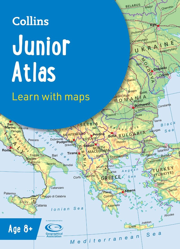
    Collins Junior Atlas

    Ideal for Learning at School and at Home

    AvStephen Scoffham,Collins Maps

    Häftad, Engelska, 20266-9 år

    Del i serien Collins School Atlases

    118 kr

    Skickas . Fri frakt över 249 kr.

    Fler format och utgåvor

    Häftad

    Tillf. slut

    Beskrivning

    The must-have Atlas for Year 6Fully revised and updated, this is an ideal world reference atlas for young primary school geographers aged 8-11 years (Key Stage 2). Published in association with the Geographical Association, it enables children to learn about the world today and understand how maps and atlases work. The atlas is organised into sections covering the UK, Europe, the world and continents with more detailed larger scale maps of countries and regions popular for focus studies.It includes topics such as climate, population, migration, trade and environmental issues.Topographical based mapping helps the young geographer understand the processes which take place during the formation of the earth’s landscapes.The reference mapping is designed for maximum clarity and accessibility, and is supported by photographs and data boxes, with detailed map keys and scale information on each map.Specially selected topic maps give additional information linking to knowledge and understanding of distant places.Tables of key world country data include an Ecological Footprint figure for each country.Fully-updated in line with proposed curriculum changes.

    Produktinformation

    • Utgivningsdatum:2026-04-09
    • Mått:226 x 312 x 6 mm
    • Vikt:340 g
    • Ålder:6-9
    • Format:Häftad
    • Språk:Engelska
    • Läsålder:6-9
    • Serie:Collins School Atlases
    • Antal sidor:80
    • Upplaga:7
    • Förlag:HarperCollins Publishers
    • ISBN:9780008794309
    • Miljömärkning:Produced using independently certified paper to ensure responsible forestry management. (Certification is by FSC, PEFC or SFI.)

    Utforska kategorier

    • Läromedel: geografi inom Läromedel

    Mer om författaren

    Explore the world through accurate and up-to-date mapping.