
Insight Guides Travel Maps – serie
Visar alla böcker i serien Insight Guides Travel Maps. Handla med fri frakt och snabb leverans.
2 produkter
2 produkter
89 kr
Skickas
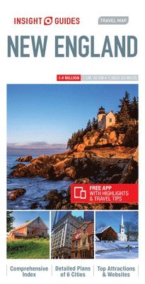
Insight Travel Map New England with free appThis detailed travel map is all you need to plan your route and navigate your way around New England, and also includes a comprehensive index and a fabulous free app.- Drawn to a scale of 1:800 000, showing the entire country, complete with a comprehensive index- Ideal for route planning before and during our driving trip- Places of interest highlighted using pictorial symbols- Handy distance indicators, located in the margin, give distances to the nearest town and other major locations- Intermediate driving distances marked on main roads- City plans of Boston, Hartford, New York, Philadelphia, Providence, Montreal, Quebec and Toronto- Innovative and unique extras: a free app with top travel tips, must-to-see places, restaurants and hotelsAbout Insight Guides: Insight Guides is a pioneer of full-colour guide books, with almost 50 years' experience of publishing high-quality, visual travel guides with user-friendly, modern design. We produce around 400 full-colour print guide books and maps, as well as phrase books, picture-packed eBooks and apps to meet different travellers' needs. Insight Guides' unique combination of beautiful travel photography and focus on history and culture create a unique visual reference and planning tool to inspire your next adventure.
89 kr
Skickas
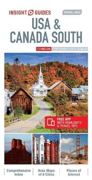
Insight Guides Travel Map USA & South Canada Travel made easy. Ask local experts.This detailed travel map is all you need to plan your route and navigate your way around USA & South Canada; also includes a comprehensive index and a fabulous free app.Features of this travel map to USA & South Canada:- Drawn to a scale of 1:4 million, showing the entire area, complete with a comprehensive index- Ideal for route planning before and during your trip- Places of interest highlighted using pictorial symbols- Handy distance indicators give distances to the nearest town and other major locations- Intermediate driving distances marked on main roads- City plans of Chicago, Los Angeles, Miami, New York, San Francisco & Washington D.C. - Extensive legend shown in 4 languages- Innovative and unique extras: a free app with top travel tips, must-see places, restaurants and hotelsYou may also be interested in: Insight Guides USA on the Road, Insight Guides CanadaAbout Insight Guides: Insight Guides is a pioneer of full-colour guidebooks, with almost 50 years' experience of publishing high-quality, visual travel guides with user-friendly, modern design. We produce around 400 full-colour print guide books and maps, as well as phrase books, picture-packed eBooks and apps to meet different travellers' needs. Insight Guides' unique combination of beautiful travel photography and focus on history and culture create a unique visual reference and planning tool to inspire your next adventure.