
Remote Sensing Applications – serie
Visar alla böcker i serien Remote Sensing Applications. Handla med fri frakt och snabb leverans.
2 produkter
2 produkter
Häftad, Engelska, 2011
1 087 kr
Skickas inom 10-15 vardagar
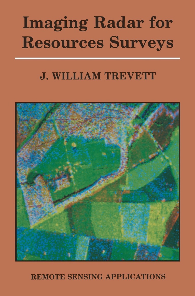
The use of air photographs as an aid to understanding and mapping natural resources has long been an established technique. The advent of satellite imagery was, and indeed by many still is, regarded as a very high altitude air photograph, but with the introduction of digital techniques the full analysis of imagery has become very sophisticated. Radar imagery presents the resource scientist with a new imaging technique that has to be understood and used, a technique which, although in many respects still in its infancy, has considerable applications potential for resources studies. Remote sensing now forms an element in study courses in the earth sciences in many major universities and a number of universities offer specialist post-graduate courses in remote sensing. Nevertheless there are a large number of earth scientists already working with imagery who have progressed from the air photograph base to satellite imagery. Such scientists may find themselves confronted with microwave or radar imagery or wish to use the imagery for surveys and find themselves hindered by a lack of understanding of the differences between radar imagery and optical imagery. Unfortunately reference to much of the literature will not be of very great help, many excellent text books on the theory and interaction of microwaves, on instrument design and construction and on the research carried out on specific target types exist, most of these are however written for specialists who are usually physicists not earth scientists.
Häftad, Engelska, 2011
539 kr
Skickas inom 10-15 vardagar
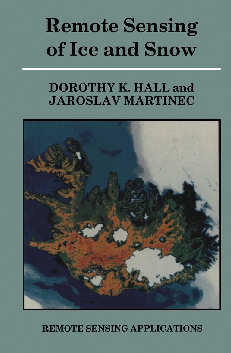
Remote sensing using aircraft and satellites has helped to open up to intensified scientific scrutiny the cold and remote regions in which snow and ice are prevalent. In this book, the utility of remote sensing for identifying, mapping and analyzing surface and subsurface properties of worldwide ice and snow features is described. Emphasis is placed on the use of remote sensing for developing an improved understanding of the physical properties of ice and snow and understanding the interrelationships of cryospheric processes with atmospheric, hydrospheric and oceanic processes. Current and potential applications of remotely sensed data are also stressed. At present, all-weather, day and night observations of the polar regions can be obtained from sensors operating in different portions of the electromagnetic spectrum. Because the approaches for analysis of remotely sensed data are not straightforward, Chapter 1 serves to introduce the reader to some of the optical, thermal and electrical properties of ice and snow as they pertain to remote sensing. In Chapter 2 we briefly describe many of the sensors and platforms that are referred to in the rest of the book. The remaining chapters deal with remote sensing of the seasonal snow cover, lake and river ice, permafrost, glacier ice and sea ice.