
Spatial Models of Parliamentary Voting
444 kr
Beställningsvara. Skickas inom 7-10 vardagar. Fri frakt över 249 kr.
Fler format och utgåvor
Beskrivning
This book presents a simple geometric model of voting as a tool to analyze parliamentary roll call data. Each legislator is represented by one point and each roll call is represented by two points that correspond to the policy consequences of voting Yea or Nay. On every roll call each legislator votes for the closer outcome point, at least probabilistically. These points form a spatial map that summarizes the roll calls. In this sense a spatial map is much like a road map because it visually depicts the political world of a legislature. The closeness of two legislators on the map shows how similar their voting records are, and the distribution of legislators shows what the dimensions are. These maps can be used to study a wide variety of topics including how political parties evolve over time, the existence of sophisticated voting and how an executive influences legislative outcomes.
Produktinformation
Utforska kategorier
Mer om författaren
Recensioner i media
Innehållsförteckning
Hoppa över listan


Mer från samma författare
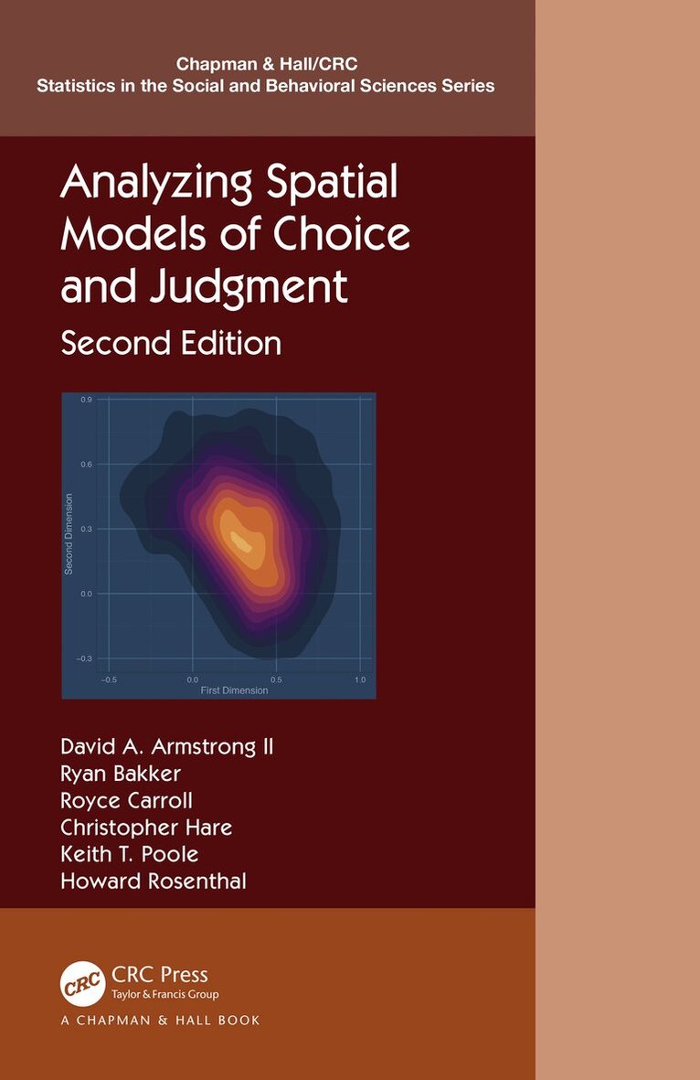
Analyzing Spatial Models of Choice and Judgment
David A. Armstrong, Ryan Bakker, Royce Carroll, Christopher Hare, Keith T. Poole, Howard Rosenthal
Häftad, 2022
797 kr
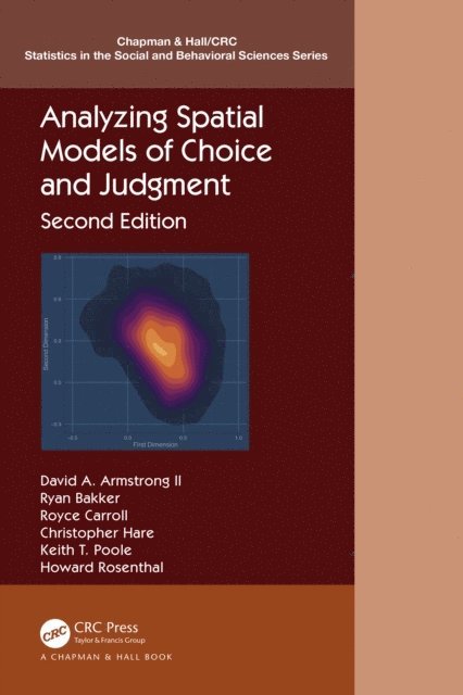
Analyzing Spatial Models of Choice and Judgment
David A. Armstrong, Ryan Bakker, Royce Carroll, Christopher Hare, Keith T. Poole, Howard Rosenthal
Inbunden, 2020
2 435 kr
Analyzing Spatial Models of Choice and Judgment
Howard Rosenthal, Keith T. Poole, Christopher Hare, Royce Carroll, Ryan Bakker, David A. Armstrong
E-bok
2020942 kr
Analyzing Spatial Models of Choice and Judgment
Howard Rosenthal, Keith T. Poole, Christopher Hare, Royce Carroll, Ryan Bakker, David A. Armstrong
E-bok
2020942 kr
Hoppa över listan

Mer från samma serie
Essential Mathematics for Political and Social Research
Jeff Gill, R. Michael Alvarez, Nathaniel L. Beck
Häftad, 2006
615 kr
Data Analysis Using Regression and Multilevel/Hierarchical Models
Andrew Gelman, Jennifer Hill
Häftad, 2006
762 kr
Time Series Analysis for the Social Sciences
Janet M. Box-Steffensmeier, John R. Freeman, Matthew P. Hitt, Jon C. W. Pevehouse
Häftad, 2014
413 kr
Hoppa över listan


Du kanske också är intresserad av
Essential Mathematics for Political and Social Research
Jeff Gill, R. Michael Alvarez, Nathaniel L. Beck
Häftad, 2006
615 kr
Inferential Network Analysis
Skyler J. Cranmer, Bruce A. Desmarais, Jason W. Morgan
Häftad, 2020
660 kr
Time Series Analysis for the Social Sciences
Janet M. Box-Steffensmeier, John R. Freeman, Matthew P. Hitt, Jon C. W. Pevehouse
Inbunden, 2014
1 056 kr
Inferential Network Analysis
Skyler J. Cranmer, Bruce A. Desmarais, Jason W. Morgan
Inbunden, 2020
1 431 kr