
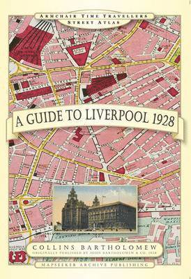
Guide to Birmingham 1924
Inbunden, Engelska, 2013
Del i serien Armchair Time Travellers Street Atlas
252 kr
Skickas . Fri frakt över 249 kr.
Produktinformation
Utforska kategorier
Hoppa över listan


Du kanske också är intresserad av
- Signerad!
- -19%
Hjärnans akilleshälar : hur din hjärna lurar dig, och vad du kan göra åt det
Anders Hansen
Inbunden, 2026
257 kr
- 4 för 3
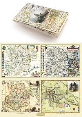
Del 2
- 4 för 3
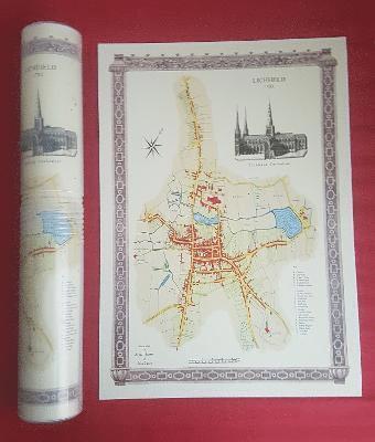
Lichfield 1781 - Old Map Supplied Rolled in a Clear Two Part Screw Presentation Tube - Print Size 45cm x 32cm
Historical Images Ltd
Häftad, 2022
166 kr
- 4 för 3