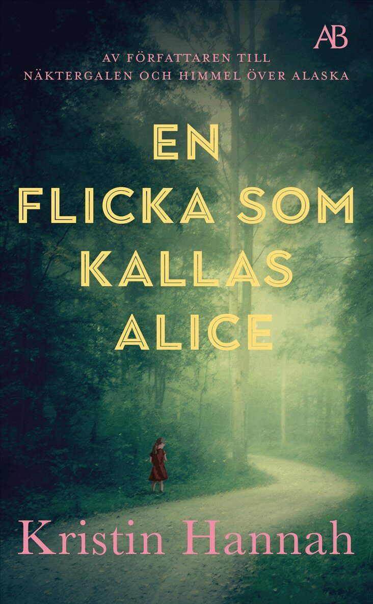
4 för 3En flicka som kallas AliceKristin HannahPocket, 20254,3 utav 5 stjärnor. Totalt antal röster:(80)99 kr
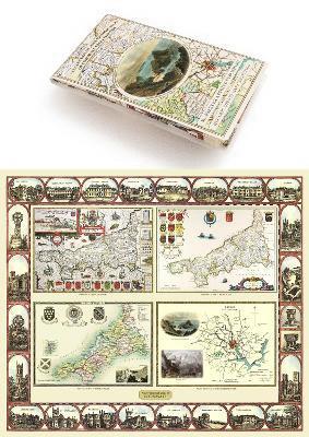
Cornwall 1611 – 1836 – Fold Up Map that features a collection of Four Historic Maps, John Speed’s County Map 1611, Johan Blaeu’s County Map of 1648, Thomas Moules County Map of 1836 and Robert Dawson’s Reform Act Plan of Truro 1831. The maps are surrounded by Cornwall’s Historic Buildings.Mapseeker Publishing Ltd.252 kr
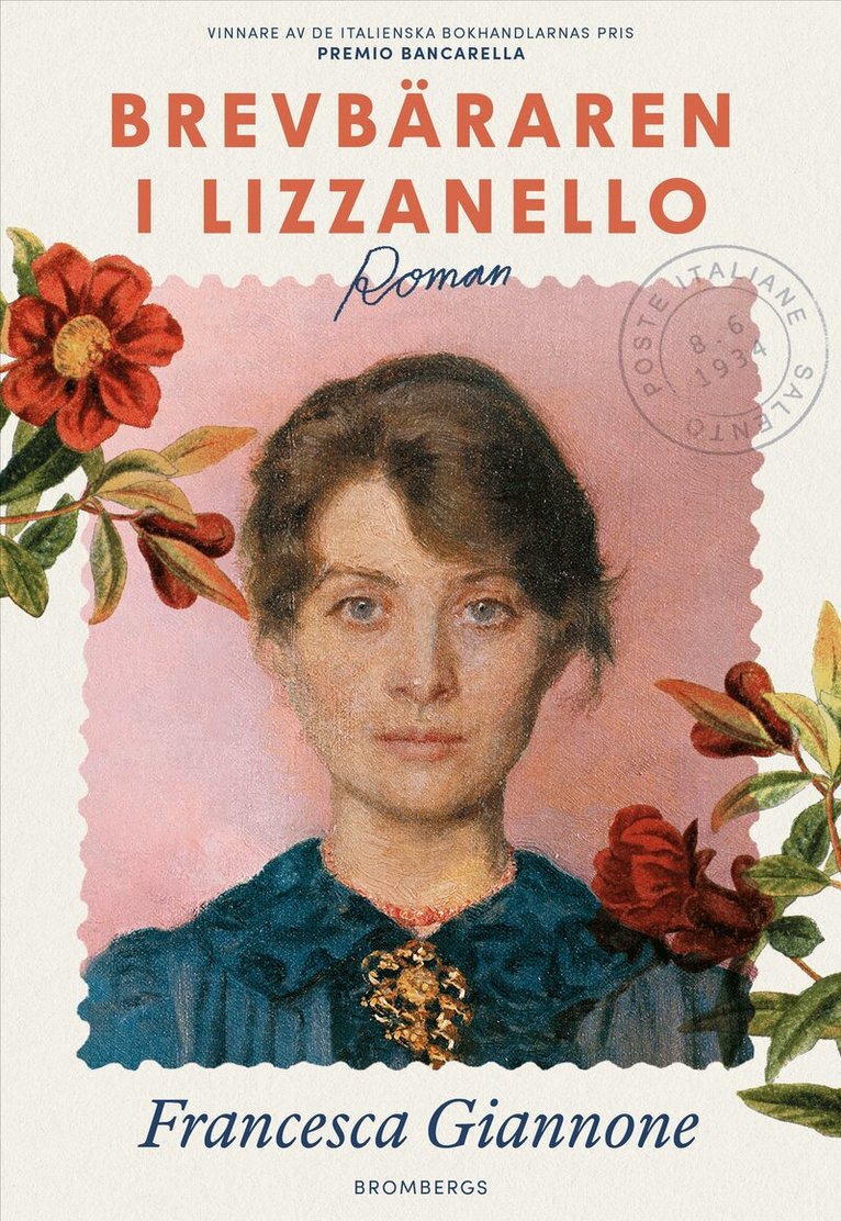
4 för 3Brevbäraren i LizzanelloFrancesca GiannonePocket, 20264,3 utav 5 stjärnor. Totalt antal röster:(106)99 kr
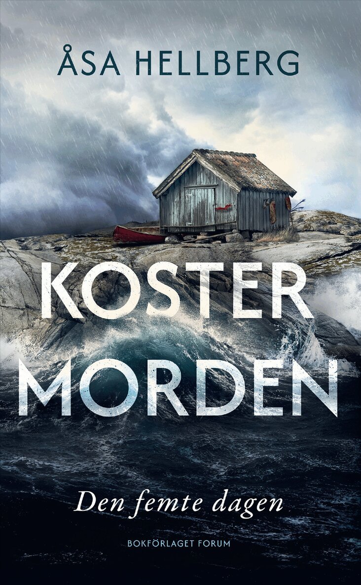
4 för 3Del 1Den femte dagenÅsa HellbergPocket, 20264,3 utav 5 stjärnor. Totalt antal röster:(66)99 kr
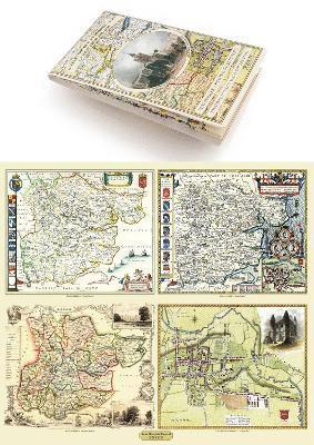
Essex 1610 – 1836 – Fold Up Map that features a collection of Four Historic Maps, John Speed’s County Map 1610, Johan Blaeu’s County Map of 1648, Thomas Moules County Map of 1836 and a Plan of Colchester 1805 by Cole and Roper.Mapseeker Publishing Ltd.252 kr