
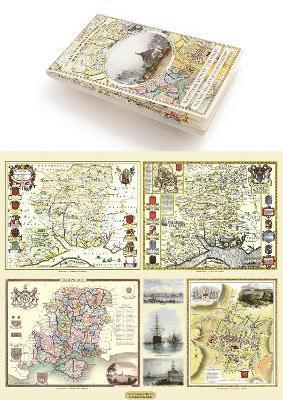
Devon 1611 – 1836 – Fold Up Map that features a collection of Four Historic Maps, John Speed’s County Map 1611, Johan Blaeu’s County Map of 1648, Thomas Moules County Map of 1836 and a Plan of Exeter 1851 by John Tallis.
252 kr
Beställningsvara. Skickas inom 11-20 vardagar. Fri frakt över 249 kr.
Produktinformation
Utforska kategorier
Hoppa över listan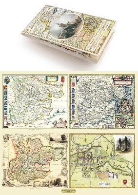


Du kanske också är intresserad av
Del 22
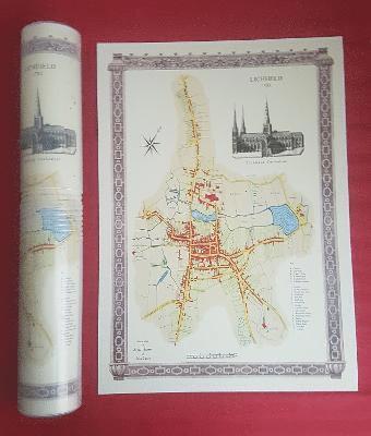
Lichfield 1781 - Old Map Supplied Rolled in a Clear Two Part Screw Presentation Tube - Print Size 45cm x 32cm
Historical Images Ltd
Häftad, 2022
166 kr
From Canals to Early Steam Railways - A History in Maps
Paul Leslie Line, Langham, Mapseeker Archive Publishing
Inbunden, 2013
252 kr