
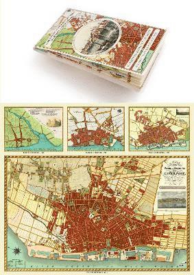
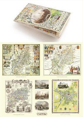
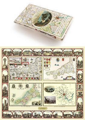
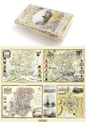
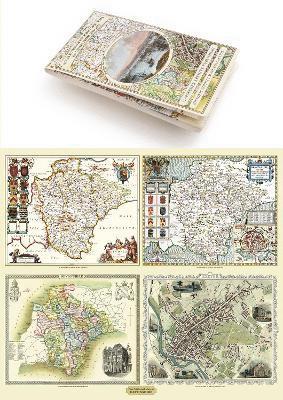
Middlesex 1611 – 1836 – Fold Up Map that features a collection of Four Historic Maps, John Speed’s County Map 1611, Johan Blaeu’s County Map of 1648, Thomas Moules County Map of 1836 and a Map of the Environs of London 1836.
245 kr
Skickas . Fri frakt över 249 kr.
Produktinformation
Utforska kategorier
Hoppa över listan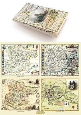


Du kanske också är intresserad av
- 4 för 3
Del 1
- Signerad!
SIGNERAD - Enkel privatekonomi : Din praktiska guide till livets alla pengafrågor
Annifrid Lilja, Björn Lilja
Kartonnage, 2026
229 kr
- 4 för 3
Del 1
- 4 för 3