
Berchtesgaden - Bad Reichenhall - Konigssee
Hiking, Cycling and Leisure Map XL WKXL3050
166 kr
Beställningsvara. Skickas inom 3-6 vardagar. Fri frakt över 249 kr.
Beskrivning
The Berchtesgaden XL hiking, cycling, and leisure map is the ideal map for hikes, bike tours, and excursions in the Berchtesgaden Alps. Thanks to its extra-large print, this XL hiking map is particularly easy to read. With this map, you can perfectly plan your tours and find information about sights and viewpoints along your route. For winter sports enthusiasts, the map offers ski routes, cross-country ski trails and all cable cars and lifts. Information on the XL hiking and cycling map Berchtesgaden XL Scale 1:30,000 Extra large font Hiking and long-distance hiking trails Cycle paths and mountain bike tours Ski routes and cross-country ski trails Tourist information GPS Rother App Format: ca. 61 x 89 cm Rother App The linked free version of the Rother App offers a digital map with the complete hiking and cycling network, as well as some sample tours in the region (free registration required). Waterproof and tear-resistant. To ensure that the hiking map can be used for orientation even on rainy days, it is printed on special waterproof and durable paper. Resource-efficient production: The map is made from 80% ground limestone. Its production is significantly more resource-efficient than that of conventional paper, as the consumption of water, wood, and energy is considerably lower. Printed in Austria.
Produktinformation
Utforska kategorier
Hoppa över listan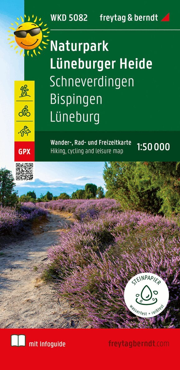
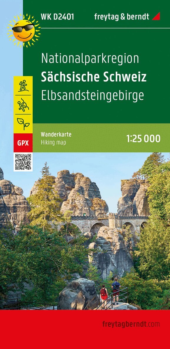
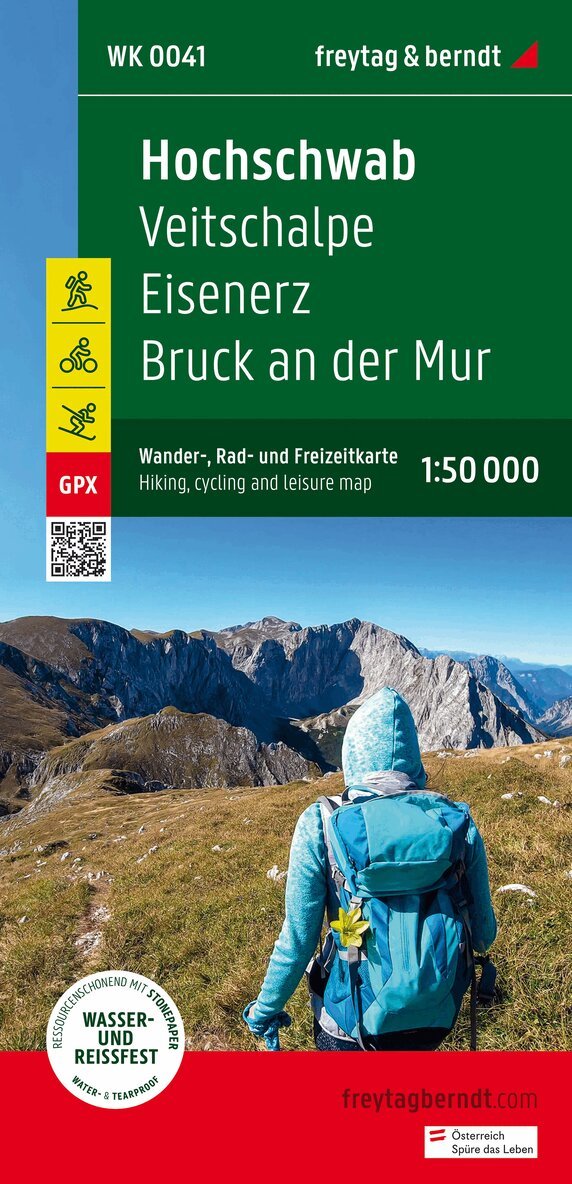
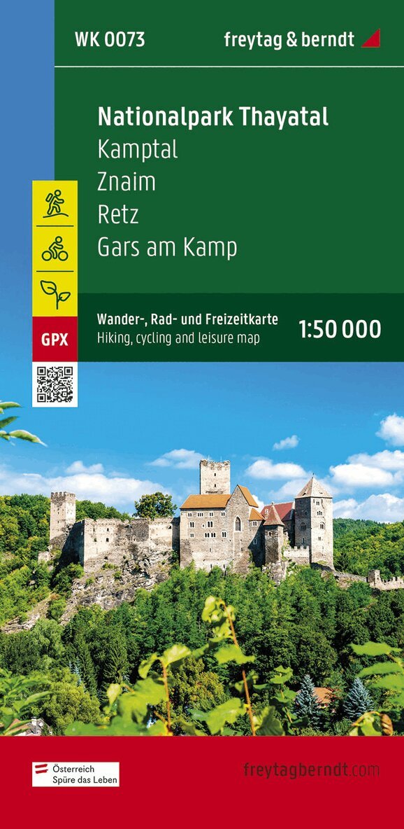
Mer från samma serie
Lüneburger Park, Walking-, Bike- and Leisure map 1:50.000, f
Freytag-Berndt, Freytag-Berndt und Artaria KG
166 kr
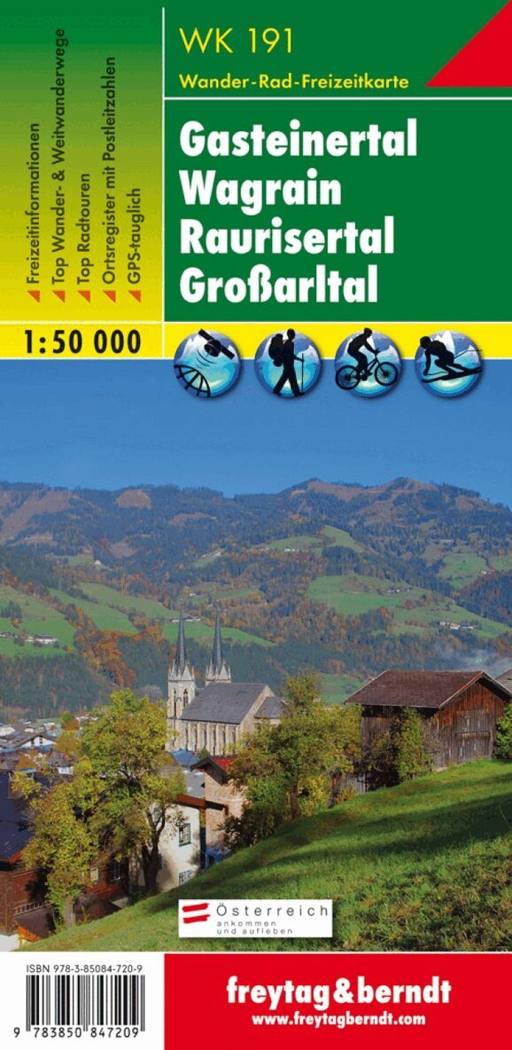
WK 191 Gastatal - Wagrain - Raurisertal - Largearltal, Walki
Freytag-Berndt, Freytag-Berndt und Artaria KG
166 kr
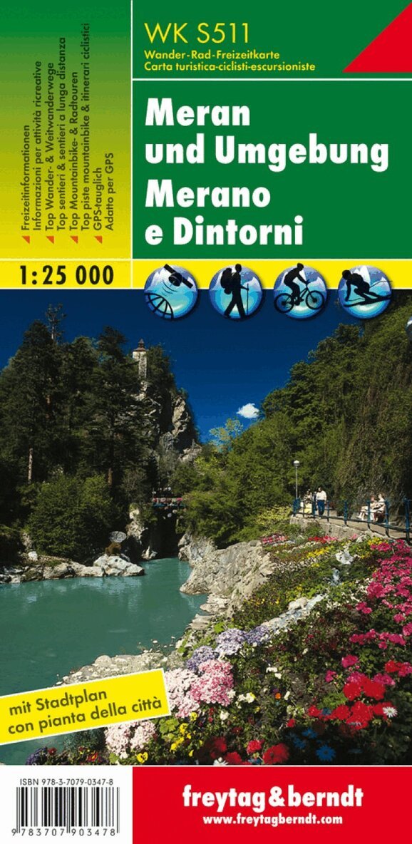
WK S511 Meran and the surrounding area, Walking map 1:25.000
Freytag-Berndt, Freytag-Berndt und Artaria KG
166 kr
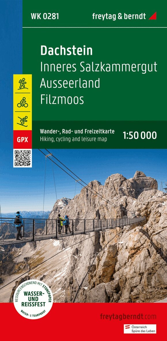
Dachstein, Walking-, Bike- and Leisure map 1:50.000, freytag
Freytag-Berndt, Freytag-Berndt und Artaria KG
166 kr
Hoppa över listan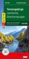

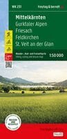

Du kanske också är intresserad av
- Nyhet
Mittelkärnten, Wander-, Rad- und Freizeitkarte 1:50.000, freytag & berndt, WK 231
Freytag & Berndt
166 kr
WKD 4 Garmisch-Partenkirchen - weatherstein Mountains - Werd
Freytag-Berndt, Freytag-Berndt und Artaria KG
166 kr
WK S511 Meran and the surrounding area, Walking map 1:25.000
Freytag-Berndt, Freytag-Berndt und Artaria KG
166 kr