
Anil Kumar Singh & Usha Kiran Chopra – författare
Visar alla böcker från författaren Anil Kumar Singh & Usha Kiran Chopra. Handla med fri frakt och snabb leverans.
2 produkter
2 produkter

Häftad, Engelska, 2007
807 kr
Skickas inom 5-8 vardagar
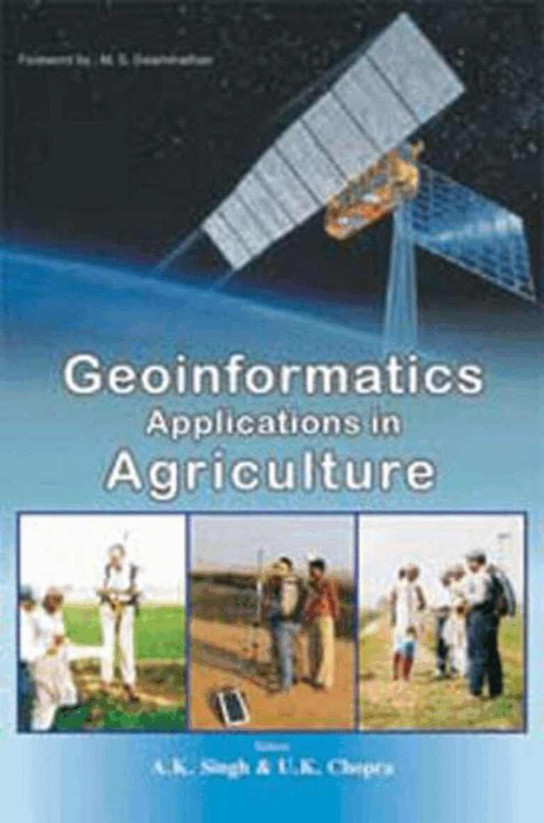
The Earth functions as a complex system, and existing infrastructure and methodologies are inadequate for addressing many of the problems associated with it. An integrated and innovative approach is necessary to analyze, model, and develop extensive and diverse datasets for solving these problems. Geoinformatics, which is the synergy of various disciplines such as earth sciences, GIS, remote sensing, GPS, photogrammetry, and cartography, is rapidly advancing in areas where data are identified by their locations. Currently, there is a chaotic distribution of available datasets, a lack of documentation about them and the methodologies used, a lack of easily accessible tools for computer modeling, and other obstacles that make it difficult for earth scientists to develop solutions. The authors have attempted to overcome these challenges by bringing together relevant information and techniques, as well as recent advances in these fields. This book provides a comprehensive overview of various topics related to the applications of geoinformatics, which are highly diversified and include space and environmental monitoring, watershed management, water resources and management, productivity enhancement in agro-ecosystems, resource information systems, precision farming, monitoring of glaciers and lakes, geospatial techniques, and livelihood improvement using GIS.
Inbunden, Engelska, 2007
1 607 kr
Skickas inom 5-8 vardagar
The Earth operates as a complex system, and the existing infrastructure and methodologies are insufficient for the community to address many of the issues associated with it. An integrated and innovative approach is necessary to analyze, model, and develop extensive and diverse datasets in order to solve these problems. Geoinformatics, which is the synergy of multiple disciplines including earth sciences, GIS, remote sensing, GPS, photogrammetry, and cartography, is rapidly developing in areas where data is identified by its location. Currently, there is a chaotic distribution of available datasets, a lack of documentation about them and the methodologies used, and a lack of easily accessible tools, computer modeling, and other resources, which pose major obstacles for earth scientists attempting to find solutions. The authors have endeavored to remove these barriers by bringing together relevant information and techniques, as well as recent advances in these fields. This book provides a comprehensive overview of various topics related to the applications of geoinformatics, which are highly diverse and include space and environmental monitoring, watershed management, water resources and management, productivity enhancement in agro-ecosystems, resource information systems, precision farming, monitoring of glaciers and lakes, geospatial techniques, and livelihood improvement using GIS.