
Dawn J. Wright – författare

4 553 kr
Skickas inom 5-8 vardagar
1 398 kr
Skickas inom 10-15 vardagar
1 664 kr
Läs direkt efter köp

1 664 kr
Läs direkt efter köp
584 kr
Läs direkt efter köp
492 kr
Skickas inom 5-8 vardagar
584 kr
Läs direkt efter köp
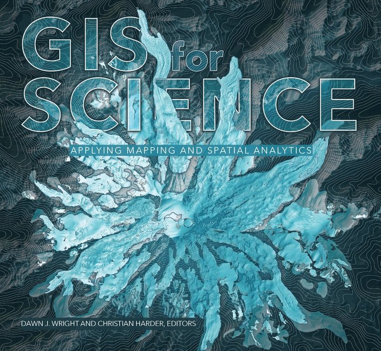
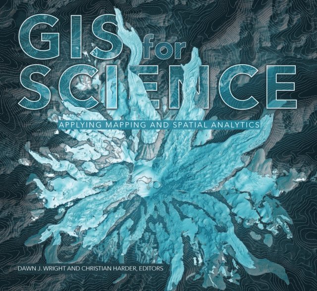
GIS for Science presents a collection of real-world stories about modern science and a cadre of scientists who use mapping and spatial analytics to expand their understanding of the world.
The accounts in this book are written for a broad audience including professional scientists, the swelling ranks of citizen scientists, and people generally interested in science and geography. Scientific data are brought to life with GIS technology to study a range of issues relevant to the functioning of planet Earth in a natural sense as well as the impacts of human activity. In a race against the clock, the scientists profiled in this volume are using remote sensing, web maps within a geospatial cloud, Esri StoryMaps, and spatial analysis to document and solve an array of issues with a geographic dimension, ranging from climate change, natural disasters, and loss of biodiversity, to homelessness, loss of green infrastructure, and resource shortages.
These stories present geospatial ideas and inspiration that readers can apply across many disciplines, making this volume relevant to a diverse scientific audience.
See how scientists working on the world''s most pressing problems apply geographic information systems—GIS.

558 kr
Skickas inom 3-6 vardagar
584 kr
Läs direkt efter köp
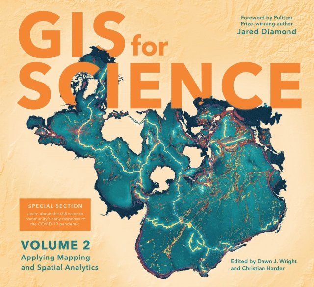
Merging the rigor of the scientific method with the technologies of GIS
GIS for Science, Volume 2: Applying Mapping and Spatial Analytics brings to life a continuing collection of current, real-world examples of scientists using geographic information systems (GIS) and spatial data science to expand our understand of the world. Co-edited by Esri Chief Scientist Dawn Wright and Esri Technology Writer and Information Designer Christian Harder and with a foreword by Pulitzer Prize winner Jared Diamond, these case studies are part of a global effort to find ways to sustain a livable environment for all life on this planet.
The contributors of GIS for Science, Volume 2: Applying Mapping and Spatial Analytics represent a cross section of scientists who employ data gathered from satellites, aircraft, ships, drones, and myriad other remote-sensing and on-site technologies. This collected data is brought to life with GIS and the broader realm of spatial data science to study a range of issues relevant to our understanding of planet Earth—including epidemiology in light of the COVID-19 pandemic; sustainable precision agriculture; predicting geological processes below the surface of the earth; leveraging GIS near-realtime disaster response, recovery, resilience and reporting; the latest innovations in monitoring air quality; and more. Their stories also show in very practical terms how ArcGIS software and the ArcGIS Online cloud-based system work as a comprehensive geospatial platform to support research, collaboration, spatial analysis, and science communication across many settings and communities. A rich supplementary web site—gisforscience.com—includes actual data along with additional maps, videos, web apps, story maps, workflows and snippets of computer code, including Python notebooks, for readers curious to learn more.
Written for professional scientists, the swelling ranks of citizen scientists, and anyone interested in science and geography, GIS for Science, Volume 2: Applying Mapping and Spatial Analytics offers wonderful examples of our impulse to dream, discover, and understand, as coupled with the rigor and discipline of the scientific method and the foundation of geography. See how scientists from a variety of disciplines are solving some of the world''s most pressing problems using geographic information systems—GIS.
492 kr
Skickas inom 5-8 vardagar
584 kr
Läs direkt efter köp
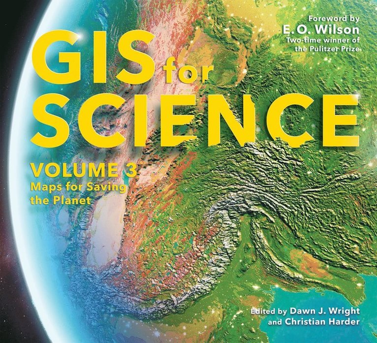
GIS for Science, Volume 3: Maps for Saving the Planet, highlights real-world examples of scientists creating maps about saving life on Earth and preserving biodiversity.
With Earth and the natural world at risk from various forces, geographic information system (GIS) mapping is essential for driving scientifically conscious decision-making about how to protect life on Earth. In volume 3 of GIS for Science, explore a collection of maps from scientists working to save the planet through documenting and protecting its biodiversity.
In this volume, learn how GIS and data mapping are used in tandem with
global satellite observation forestry marine policy artificial intelligence conservation biology, and environmental educationto help preserve and chronicle life on Earth. This volume also spotlights important global action initiatives incorporating conservation, including Half-Earth, 30 x 30, AI for Earth, the Blue Nature Alliance, and the Sustainable Development Solutions Network.
The stories presented in this third volume are ideal for the professional scientist and conservationist and anyone interested in the intersection of technology and the conservation of nature. The book’s contributors include scientists who are applying geographic data gathered from the full spectrum of remote sensing and on-site technologies. The maps and data are brought to life using ArcGIS® software and other spatial data science tools that support research, collaboration, spatial analysis, and science communication across many locations and within diverse communities. The stories shared in this book and its companion website present inspirational ideas so that GIS users and scientists can work toward preserving biodiversity and saving planet Earth before time runs out.
351 kr
Skickas inom 5-8 vardagar
349 kr
Läs direkt efter köp
Embark on an extraordinary journey into the depths of the ocean.
Oceanographer Dawn Wright made history in 2022 when she became the first Black person to visit Challenger Deep, the deepest and most unexplored place on Earth—a trip that took her over 10,000 meters beneath the Pacific Ocean’s surface. We know less about the ocean floor than we do about the surface of the moon. To date, barely one-fifth of the seabed has been mapped in high resolution. As an ocean scientist and explorer, Dawn has made it her mission to change that.
Mapping the Deep takes you on an extraordinary adventure with an extraordinary woman into the depths of Challenger Deep, showcasing the perseverance and innovation needed for ocean exploration. With a focus on Dawn’s historic dive, her personal journey, and the cutting-edge technology that made the expedition possible, this book highlights the crucial importance of mapping the ocean and its profound impact on our planet’s future. Prepare to be inspired—from the fascinating history of the area and the incredible stories of its explorers to the diverse marine life that lives within.
Through a blend of history, fascinating facts, and beautiful images, Mapping the Deep offers a unique perspective on the challenges and triumphs of deep-sea exploration.