• Fri frakt över 249 kr
  • •
  • Snabba leveranser
  • •
  • Billiga böcker
Kundservice

Du är på sajten för privatpersoner.

Företag, bibliotek eller offentlig verksamhet?

Du handlar på classic.bokus.com, där alla dina funktioner finns intakta.
Till classic.bokus.com
Bokus logotyp. Gå till startsidan.
  • Erbjudanden
  • Student
  • Topplistor
  • Barn & ungdom
  • Bokus Play
  • E-böcker
  • Ljudböcker
  • Pocketböcker
  • Spel och pussel

Pocketfynda! Hundratals böcker för 49 kr/st →

Sidfot

Mina sidor

    Hjälp

    • Kundservice
    • Vanliga frågor och svar
    • Frakt och leverans
    • Retur vid ångerrätt
    • Reklamera vara
    • Betalning
    • Köpvillkor
    • Allmänna villkor
    • Information om webbplatsens tillgänglighet

    Om Bokus

    • Om oss
    • Pressrum
    • För studenter
    • För företag
    • För bibliotek och offentlig verksamhet
    • För leverantörer
    • Hållbarhet

    Populärt

    • Aktuella erbjudanden
    • Presentkort
    • Studentlitteratur
    • Nya böcker
    • Topplistor
    • Signerade böcker
    • Engelska böcker

    Inspiration

    • Boktips
    • BookTok
    • Barnbokskaraktärer
    • Populära författare
    Logotyp för Bokus
    Följ oss på Facebook (extern länk)Följ oss på Instagram (extern länk)Följ oss på YouTube (extern länk)Följ oss på TikTok (extern länk)
    bokus @ CookiesAnpassa cookiesIntegritetspolicyKöpvillkor
    Till Citymail hemsida (extern länk)Till Budbee hemsida (extern länk)Till Postnord hemsida (extern länk)Till Schenker hemsida (extern länk)Till Early Bird hemsida (extern länk)Till Walleys hemsida (extern länk)
    1. Naturvetenskap och teknik
    2. Geovetenskap
    3. Geografi

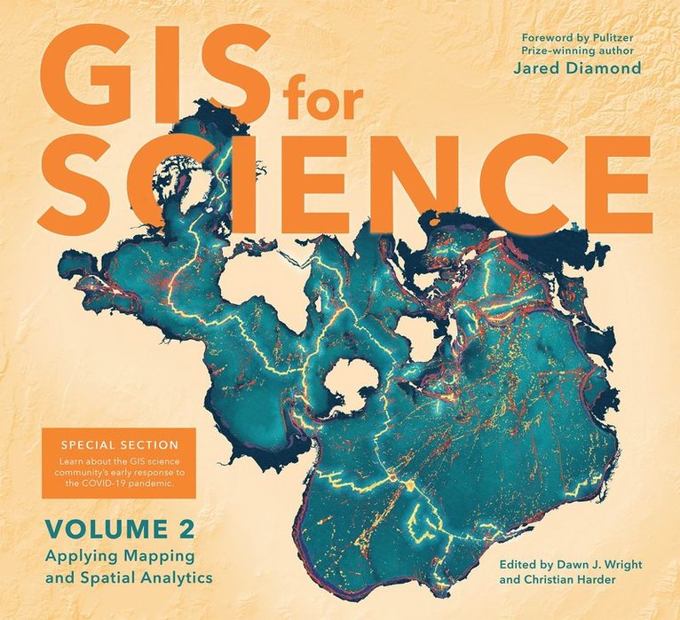
    GIS for Science

    Applying Mapping and Spatial Analytics, Volume 2

    AvDawn J. Wright,Christian Harder

    Häftad, Engelska, 2021

    Del 2 i serien GIS for Science

    491 kr

    Tillfälligt slut

    Beskrivning

    Merging the rigor of the scientific method with the technologies of GISGIS for Science, Volume 2: Applying Mapping and Spatial Analytics brings to life a continuing collection of current, real-world examples of scientists using geographic information systems (GIS) and spatial data science to expand our understand of the world. Co-edited by Esri Chief Scientist Dawn Wright and Esri Technology Writer and Information Designer Christian Harder and with a foreword by Pulitzer Prize winner Jared Diamond, these case studies are part of a global effort to find ways to sustain a livable environment for all life on this planet. The contributors of GIS for Science, Volume 2: Applying Mapping and Spatial Analytics represent a cross section of scientists who employ data gathered from satellites, aircraft, ships, drones, and myriad other remote-sensing and on-site technologies. This collected data is brought to life with GIS and the broader realm of spatial data science to study a range of issues relevant to our understanding of planet Earth—including epidemiology in light of the COVID-19 pandemic; sustainable precision agriculture; predicting geological processes below the surface of the earth; leveraging GIS near-realtime disaster response, recovery, resilience and reporting; the latest innovations in monitoring air quality; and more. Their stories also show in very practical terms how ArcGIS software and the ArcGIS Online cloud-based system work as a comprehensive geospatial platform to support research, collaboration, spatial analysis, and science communication across many settings and communities. A rich supplementary web site—gisforscience.com—includes actual data along with additional maps, videos, web apps, story maps, workflows and snippets of computer code, including Python notebooks, for readers curious to learn more.Written for professional scientists, the swelling ranks of citizen scientists, and anyone interested in science and geography, GIS for Science, Volume 2: Applying Mapping and Spatial Analytics offers wonderful examples of our impulse to dream, discover, and understand, as coupled with the rigor and discipline of the scientific method and the foundation of geography. See how scientists from a variety of disciplines are solving some of the world's most pressing problems using geographic information systems—GIS.

    Produktinformation

    • Utgivningsdatum:2021-02-04
    • Mått:254 x 279 x 18 mm
    • Vikt:1 028 g
    • Format:Häftad
    • Språk:Engelska
    • Serie:GIS for Science
    • Antal sidor:232
    • Förlag:ESRI Press
    • Medarbetare:Jared Diamond
    • ISBN:9781589485877

    Utforska kategorier

    • Geografi inom Naturvetenskap och teknik
    • Naturvetenskap:allmänt inom Naturvetenskap och teknik

    Mer om författaren

    Esri Chief Scientist Dawn J. Wright is a professor of geography and oceanography at Oregon State University. In 2007, the Carnegie Foundation for the Advancement of Teaching and the Council for the Advancement and Support of Education named her US Professor of the Year for the State of Oregon. She is also a fellow of the American Association for the Advancement of Science and a new fellow of Stanford University's Aldo Leopold Leadership Program in science communication. Her research interests include geographic information science; ocean informatics and cyberinfrastructure; benthic terrain and habitat characterization; and the processing and interpretation of high-resolution bathymetry, video, and underwater photographic images. Wright received a PhD in physical geography and marine geology from the University of California, Santa Barbara; an MS in oceanography from Texas A&M University; and a BS with honors from Wheaton College in Illinois. She is also certified by the GIS Certification Institute as a GIS professional (GISP). She coauthored several books for Esri Press, including Ocean Solutions, Earth Solutions, second edition (2016).Christian Harder is a technology writer and information designer at Esri. He is the author or coauthor of numerous books on GIS, including Understand GIS, The ArcGIS Book (Esri Press, 2017) and The ArcGIS Imagery Book (Esri Press, 2016).

    Recensioner i media

    "GIS provides the platform that allows us to generate a holistic perspective of the natural world. Given the relevance of this geospatial perspective for all aspects of society, I hope this beautiful book will inspire a wide range of people to embrace the "Science of Where."-- Thomas Crowther, Director, Global Forest Biodiversity Initiative, ETH-Zurich