1 453 kr
1 453 kr
1 321 kr
Skickas
190 kr
Skickas
816 kr
Skickas inom 5-8 vardagar
210 kr
Skickas inom 5-8 vardagar
730 kr
Skickas inom 5-8 vardagar
923 kr
Skickas inom 5-8 vardagar
694 kr
Skickas
447 kr
Kommande
Top 20 Essential Skills for Python in ArcGIS® guides you through the basics of Python and developing solutions to enhance your geospatial workflows.
Supercharge your ArcGIS workflows and enable others to work with your tools with the versatility of Python coding. Top 20 Essential Skills for Python in ArcGIS guides readers through integrating Python with ArcGIS capabilities, from performing market analytics to managing ArcGIS Online organizations, to delivering work through Jupyter Notebook and other applications. Solving complex geospatial problems and delivering solutions has never been easier.
Top 20 Essential Skills for Python in ArcGIS includes:
Easy-to-understand, step-by-step tutorialsJargon-free explanations with plenty of illustrations and guidanceA single, dependable resource for learning how to use Python in ArcGISTopics about ArcPy, ArcGIS API for Python, object-oriented programming, Jupyter Notebook, data engineering, UIs and packaging, solution development, ArcGIS Enterprise and ArcGIS Online, and much more.These bite-sized chapters with easy-to-follow steps will help you to become adept at understanding and using Python in ArcGIS.
919 kr
Skickas
1 135 kr
Skickas inom 5-8 vardagar
1 065 kr
Läs direkt efter köp
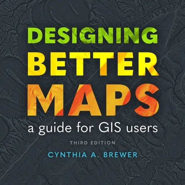
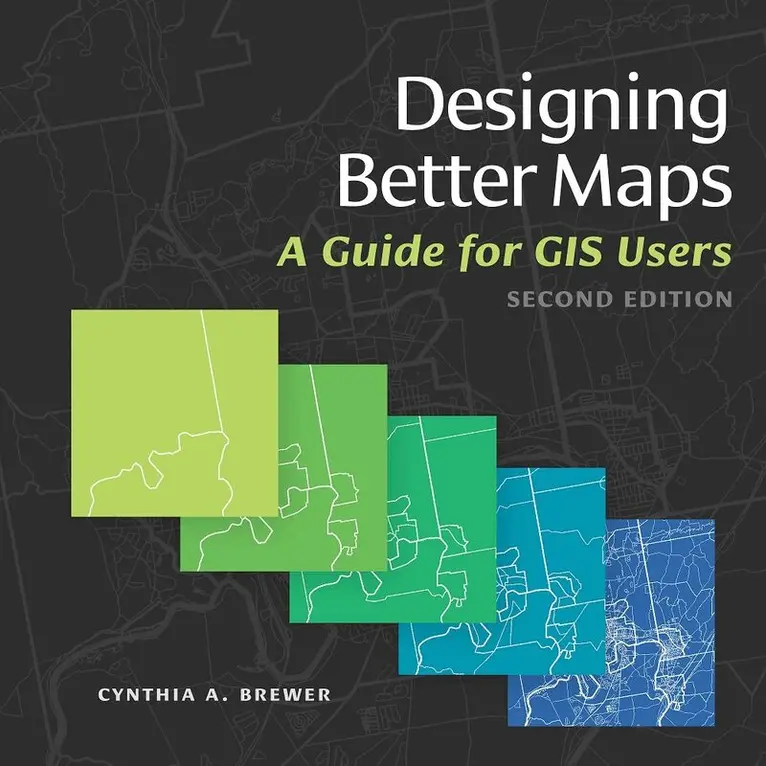
Learn from the best with this popular book on creating successful maps with any GIS or illustration product, written by an expert cartographer.
For more than 18 years, Designing Better Maps: A Guide for GIS Users has been essential reading for all mapmakers who use geographic information system (GIS) technology across industries and sectors, including government, commercial, creative, and education. This third edition continues the reliable legacy of this book, distinctive in its clear and efficient emphasis on core cartographic concepts and updated with new and revamped design practices.
With more than 400 full-color illustrations, this book applies map design best practices to both reference and statistical mapping, guiding you through the following processes:
Planning mapsUsing basemapsUsing scale and timeExplaining mapsPublishing and sharing mapsApplying type and labelsUnderstanding and using colorCustomizing symbolsAward-winning author Cynthia A. Brewer uses her sophisticated mix of experiences—conducting academic research, teaching novice cartographers, mentoring advanced students on research and mapmaking, and collaborating with analysts and mapmakers at various federal agencies—to present this practical information. In 2023, she was awarded the International Cartographic Society''s highest honor, the Carl Mannerfelt Gold Medal, for distinguished contributions to her field.
Whether you face the challenge of making well-designed maps or are already adept at GIS data management and analysis but need better ways to visually communicate spatial information and results, Designing Better Maps will help you learn how to use GIS tools to design provocative and accessible maps.
563 kr
Skickas inom 5-8 vardagar
1 471 kr
Läs direkt efter köp
Want to get up and running with ArcGIS® Desktop? Start here.
Getting to Know ArcGIS Desktop 10.8, sixth edition, is the classic textbook that introduces readers to the features and tools of ArcGIS Desktop, specifically ArcMapTM, the popular professional geographic information system (GIS) application from Esri. Rooted in the science of geography, GIS is a framework for gathering, managing, and analyzing data using map visualizations and location intelligence. GIS and ArcGIS have become essential to thousands of businesses and organizations.
Through hands-on exercises, readers get a comprehensive introduction to the features and tools of ArcMap. Discover, use, make, and share maps with meaningful content. Learn how to build geodatabases, query data, analyze geospatial data, and more. Now in its sixth iteration, this edition of Getting to Know ArcGIS Desktop 10.8 has been updated to teach and function with the most current version of the software, ArcGIS Desktop 10.8.x. Data for completing the exercises is available for download.
Explore why Getting to Know ArcGIS Desktop 10.8 is a top-selling choice for classroom use, independent study, and as a reference for students and professionals alike.
1 177 kr
Läs direkt efter köp
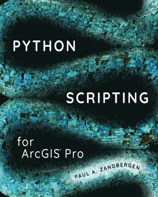
The definitive, easy-to-follow guide to writing Python code with spatial data in ArcGIS Pro, whether you’re new to programming or not.
Python Scripting for ArcGIS Pro starts with the fundamentals of Python programming and then dives into how to write useful Python scripts that work with spatial data in ArcGIS Pro. Learn how to execute geoprocessing tools, describe, create and update data, as well as execute a number of specialized tasks. See how to write simple, custom scripts that will automate your ArcGIS Pro workflows.
Some of the key topics you will learn include:
Python fundamentals Setting up a Python editor Automating geoprocessing tasks using ArcPy Exploring and manipulating spatial and tabular data Working with geometries using cursors Working with rasters and map algebra Map scripting Debugging and error handlingHelpful “points to remember,” key terms, and review questions are included at the end of each chapter to reinforce your understanding of Python. Corresponding data and exercises are available online.
Whether you want to learn Python or already have some experience, Python Scripting for ArcGIS Pro is the comprehensive, hands-on book for learning the versatility of Python coding as an approach to solving problems and increasing your productivity in ArcGIS Pro. Follow the step-by-step instruction and common workflow guidance for automating tasks and scripting with Python.
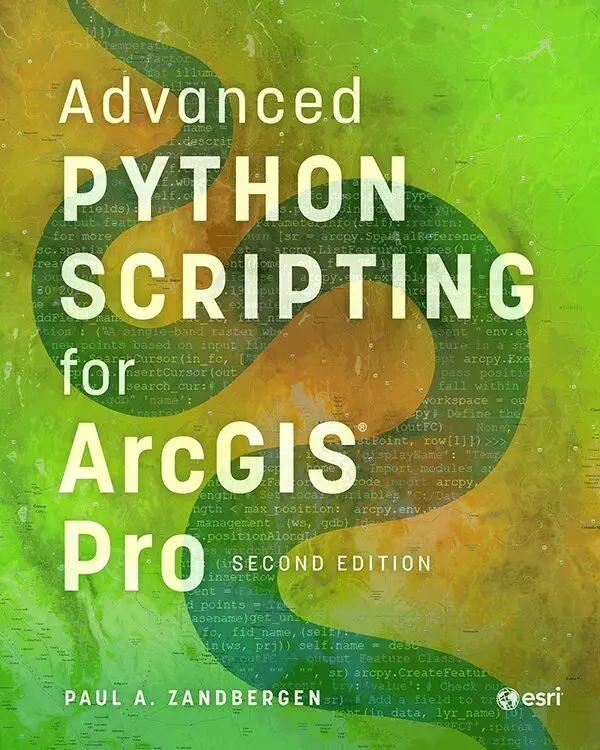
Don''t forget to also check out Esri Press''s other Python title:
Advanced Python Scripting for ArcGIS Pro (9781589486188)
954 kr
Skickas
602 kr
Läs direkt efter köp
39 kr
Läs direkt efter köp
618 kr
Skickas inom 5-8 vardagar
883 kr
Läs direkt efter köp
1 148 kr
Skickas inom 5-8 vardagar
634 kr
Läs direkt efter köp
351 kr
Läs direkt efter köp
Thinking About GIS: Geographic Information System Planning for Managers presents a planning model for designing data and technology systems that will meet any organization’s specific needs. Designed for two primary audiences, senior managers who oversee information technologies and technical specialists responsible for system design, this book provides a common platform on which to conduct GIS planning.
291 kr
Läs direkt efter köp
The GIS Guide for Elected Officials is a valuable resource for government officials who want to better understand how to use geographic information systems (GIS) to answer location-based questions such as the following:
-Can work crews respond more efficiently to service calls?
-Where do police and fire department calls for service originate?
-Does citizen satisfaction with city services vary across the community?
-Are calls for service originating from the same neighborhood about the same problem, and why?
The use cases in The GIS Guide for Elected Officials show the wide range of problems GIS can help solve, including determining potential markets for a start-up business, responding to the needs of a community during a disaster, and identifying urban food deserts. Designed to enable governments to learn from the experience of others, this volume also includes a review of what it takes to build and maintain a strong GIS program in light of rapidly changing technology and shrinking government budgets.
303 kr
Läs direkt efter köp
902 kr
Läs direkt efter köp
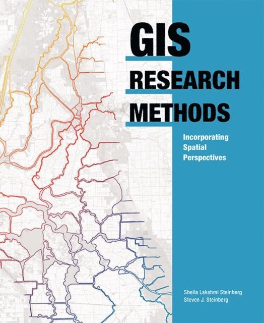
GIS Research Methods: Incorporating Spatial Perspectives shows researchers how to incorporate spatial thinking and geographic information system (GIS) technology into research design and analysis. Topics include research design, digital data sources, volunteered geographic information, analysis using GIS, and how to link research results to policy and action. The concepts presented in GIS Research Methods can be applied to projects in a range of social and physical sciences by researchers using GIS for the first time and experienced practitioners looking for new and innovative research techniques.
736 kr
Läs direkt efter köp
597 kr
Skickas inom 5-8 vardagar
996 kr
Skickas inom 5-8 vardagar
902 kr
Läs direkt efter köp
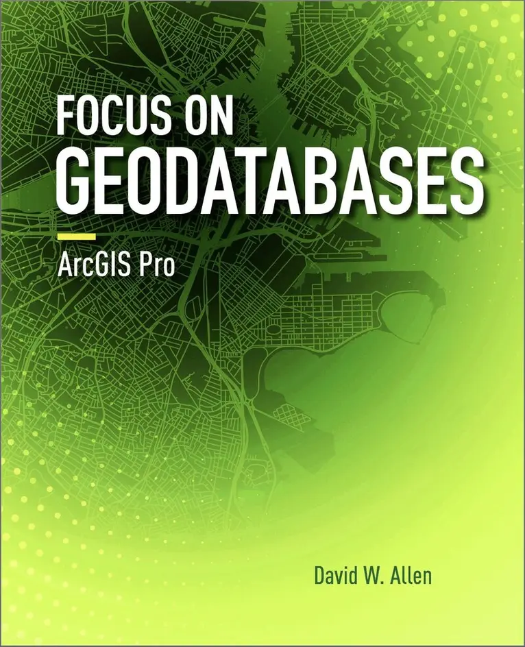
Focus on Geodatabases in ArcGIS Pro introduces readers to the geodatabase, the comprehensive information model for representing and managing geographic information across the ArcGIS platform.
Sharing best practices for creating and maintaining data integrity, chapter topics include the careful design of a geodatabase schema, building geodatabases that include data integrity rules, populating geodatabases with existing data, working with topologies, editing data using various techniques, building 3D views, and sharing data on the web. Each chapter includes important concepts with hands-on, step-by-step tutorials, sample projects and datasets, ''Your turn'' segments with less instruction, study questions for classroom use, and an independent project. Instructor resources are available by request.
Note: This e-book requires ArcGIS software. You can download the ArcGIS Trial at http://www.esri.com/arcgis/trial, contact your school or business Esri Site License Administrator, or purchase a student or individual license through the Esri Store.