• Fri frakt över 249 kr
  • •
  • Snabba leveranser
  • •
  • Billiga böcker
Kundservice

Du är på sajten för privatpersoner.

Företag, bibliotek eller offentlig verksamhet?

Du handlar på classic.bokus.com, där alla dina funktioner finns intakta.
Till classic.bokus.com
Bokus logotyp. Gå till startsidan.
  • Erbjudanden
  • Nyheter
  • Student
  • Topplistor
  • Barn & ungdom
  • Bokus Play
  • E-böcker
  • Pocketböcker
  • Spel & pussel

10% studentrabatt med kod TERM26

Sidfot

Mina sidor

    Hjälp

    • Kundservice
    • Vanliga frågor och svar
    • Frakt och leverans
    • Retur vid ångerrätt
    • Reklamera vara
    • Betalning
    • Köpvillkor
    • Allmänna villkor
    • Information om webbplatsens tillgänglighet

    Om Bokus

    • Om oss
    • Pressrum
    • För studenter
    • För företag
    • För bibliotek och offentlig verksamhet
    • För leverantörer
    • Hållbarhet

    Populärt

    • Aktuella erbjudanden
    • Presentkort
    • Studentlitteratur
    • Nya böcker
    • Topplistor
    • Signerade böcker
    • Engelska böcker

    Inspiration

    • Boktips
    • BookTok
    • Populära bokserier
    • Barnbokskaraktärer
    • Populära författare
    Logotyp för Bokus
    Följ oss på Facebook (extern länk)Följ oss på Instagram (extern länk)Följ oss på YouTube (extern länk)Följ oss på TikTok (extern länk)
    bokus @ CookiesAnpassa cookiesIntegritetspolicyKöpvillkor
    Till Citymail hemsida (extern länk)Till Budbee hemsida (extern länk)Till Postnord hemsida (extern länk)Till Schenker hemsida (extern länk)Till Early Bird hemsida (extern länk)Till Walleys hemsida (extern länk)
    1. Psykologi och pedagogik
    2. Pedagogik
    3. Material och digital teknik i undervisningen
    • Nyhet

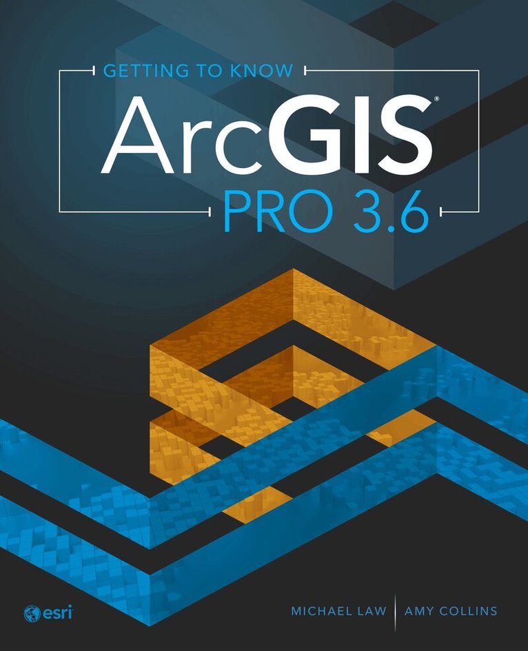
    Getting to Know ArcGIS Pro 3.6

    AvMichael Law,Amy Collins

    Häftad, Engelska, 2026

    Del i serien Getting to Know

    1 277 kr

    Beställningsvara. Skickas inom 5-8 vardagar. Fri frakt över 249 kr.

    Beskrivning

    Learn how to use ArcGIS Pro with this best-selling, step-by-step workbook and desk reference.   Getting to Know ArcGIS Pro 3.6 explains the basics of how a geographic information system (GIS) works as it teaches readers how to use ArcGIS Pro, the world’s most powerful desktop GIS software.   Readers will follow simple step-by-step instructions, accompanied by more than 300 full-color images, to learn core analytic and mapmaking skills.  Topics include:  ArcGIS and ArcGIS Online basicsGeospatial data management, geoprocessing, and Python toolsMap layoutsSpatial analysis Throughout the book, case studies of real-world GIS applications show how ArcGIS Pro has been used to solve complex issues. Each chapter uses a real-world exercise dataset, and the chapters are designed to build on each other, providing practical, progressive learning. At the conclusion of every chapter, a summary reinforces the skills covered. The book also includes a glossary of technical terms. Getting to Know is the best-selling series that has been guiding readers in learning about GIS for more than 20 years. Ideal for students, self-learners, and professionals who want to learn the premier GIS desktop application, Getting to Know ArcGIS Pro 3.6 is a textbook and desk reference designed to show users how to use ArcGIS Pro successfully.

    Produktinformation

    • Utgivningsdatum:2026-07-16
    • Mått:232 x 16 x 188 mm
    • Vikt:860 g
    • Format:Häftad
    • Språk:Engelska
    • Serie:Getting to Know
    • Antal sidor:340
    • Upplaga:6
    • Förlag:ESRI Press
    • ISBN:9781589488984

    Utforska kategorier

    • Material och digital teknik i undervisningen inom Psykologi och pedagogik
    • Geografi inom Naturvetenskap och teknik
    • Databaser inom Data och IT

    Mer om författaren

    Michael Law is a cartographer and GIS professional. He lives in Toronto, Canada.Amy Collins is a writer and editor who lives in Northern California.

    Innehållsförteckning

    • PrefaceChapter 1: Introducing GISExercise 1: Explore ArcGIS OnlineChapter 2: A first look at ArcGIS ProExercise 2a: Learn some basicsExercise 2b: Go beyond the basicsExercise 2c: Experience 3D GISChapter 3: Exploring geospatial relationshipsExercise 3a: Extract part of a datasetExercise 3b: Incorporate tabular dataExercise 3c: Calculate data statisticsExercise 3d: Connect spatial datasetsChapter 4: Creating and editing spatial dataExercise 4a: Build a geodatabaseExercise 4b: Create featuresExercise 4c: Modify featuresChapter 5: Facilitating workflowsExercise 5a: Manage a repeatable workflow using tasksExercise 5b: Create a geoprocessing modelExercise 5c: Run a Python command and script toolChapter 6: Geoenabling your projectExercise 6a: Prepare project dataExercise 6b: Geocode location dataExercise 6c: Use geoprocessing tools to analyze vector dataChapter 7: Analyzing spatial and temporal patternsExercise 7a: Create a kernel density mapExercise 7b: Perform a hot spot analysisExercise 7c: Explore the results in 3DExercise 7d: Animate the dataChapter 8: Determining suitabilityExercise 8a: Prepare project dataExercise 8b: Derive new surfacesExercise 8c: Create a weighted suitability modelChapter 9: Presenting your projectExercise 9a: Apply detailed symbologyExercise 9b: Label featuresExercise 9c: Create a page layoutExercise 9d: Share your projectGlossaryTask indexData source credits