E-bok, Engelska, 2020
GIS for Science, Volume 2
Av Christian Harder, Dawn J. Wright
589 kr
Skickas måndag 12/10
Beskrivning
Merging the rigor of the scientific method with the technologies of GIS
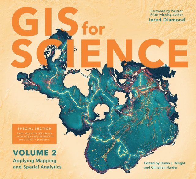
GIS for Science, Volume 2: Applying Mapping and Spatial Analytics brings to life a continuing collection of current, real-world examples of scientists using geographic information systems (GIS) and spatial data science to expand our understand of the world. Co-edited by Esri Chief Scientist Dawn Wright and Esri Technology Writer and Information Designer Christian Harder and with a foreword by Pulitzer Prize winner Jared Diamond, these case studies are part of a global effort to find ways to sustain a livable environment for all life on this planet.
The contributors of GIS for Science, Volume 2: Applying Mapping and Spatial Analytics represent a cross section of scientists who employ data gathered from satellites, aircraft, ships, drones, and myriad other remote-sensing and on-site technologies. This collected data is brought to life with GIS and the broader realm of spatial data science to study a range of issues relevant to our understanding of planet Earth—including epidemiology in light of the COVID-19 pandemic; sustainable precision agriculture; predicting geological processes below the surface of the earth; leveraging GIS near-realtime disaster response, recovery, resilience and reporting; the latest innovations in monitoring air quality; and more. Their stories also show in very practical terms how ArcGIS software and the ArcGIS Online cloud-based system work as a comprehensive geospatial platform to support research, collaboration, spatial analysis, and science communication across many settings and communities. A rich supplementary web site—gisforscience.com—includes actual data along with additional maps, videos, web apps, story maps, workflows and snippets of computer code, including Python notebooks, for readers curious to learn more.
Written for professional scientists, the swelling ranks of citizen scientists, and anyone interested in science and geography, GIS for Science, Volume 2: Applying Mapping and Spatial Analytics offers wonderful examples of our impulse to dream, discover, and understand, as coupled with the rigor and discipline of the scientific method and the foundation of geography. See how scientists from a variety of disciplines are solving some of the world''s most pressing problems using geographic information systems—GIS.
Produktinformation
- Utgivningsdatum: 2020-10-20
- Format: E-bok
- Språk: Engelska
- Förlag: Esri Press
- ISBN: 9781589485884
Utforska kategorier
Betyg & recensioner
0 recensioner
Inga recensioner tillgängliga.