
Navneet Kumar – författare
1 627 kr
Kommande

1 160 kr
Läs direkt efter köp
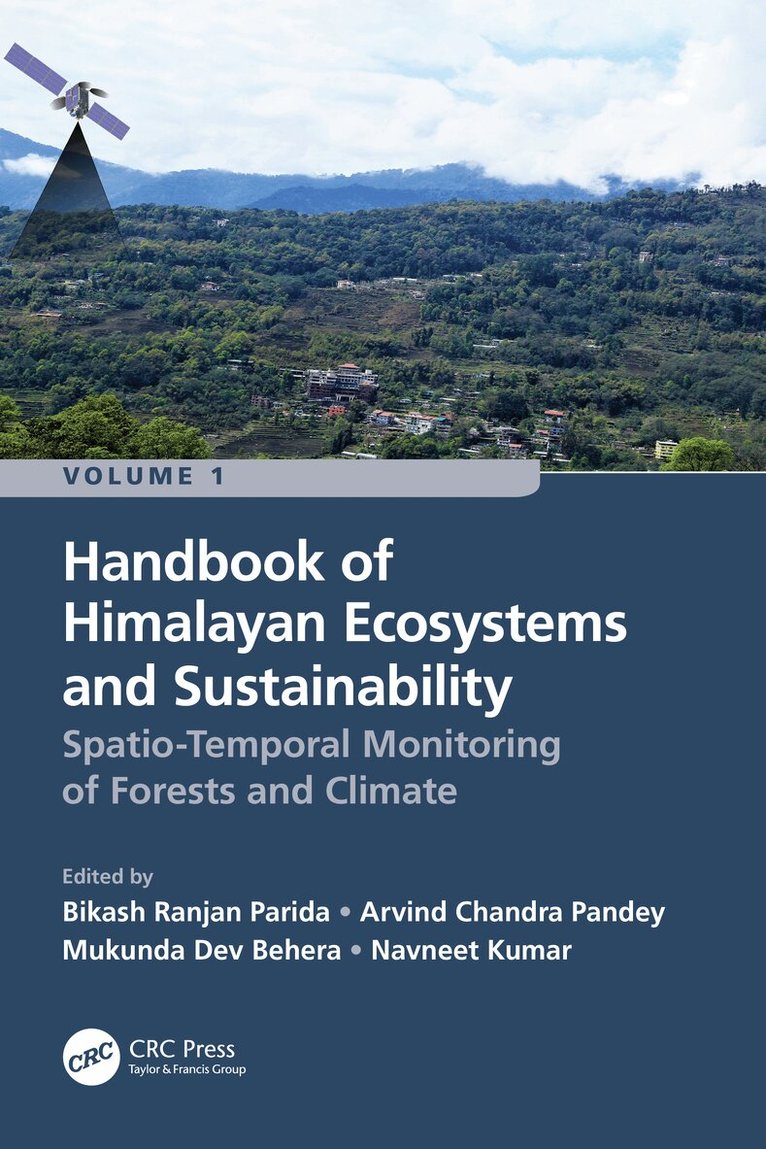
Volume 1: Spatio-Temporal Monitoring of Forests and Climate is aimed to describe the recent progress and developments of geospatial technologies (remote sensing and GIS) for assessing, monitoring and managing fragile Himalayan ecosystems and their sustainability under climate change. It is a collective research contribution from renowned researchers and academicians working in the Hindu Kush Himalayan (HKH) mountain range. The Himalayas ecosystems have been facing substantial transformation due to severe environmental conditions, land transformation, forest degradation and fragmentation. The authors utilized satellite datasets and algorithms to discuss the intricacy of land use/land cover change, forest and agricultural ecosystems, canopy height estimation, above-ground biomass, wildfires, carbon sequestration, and landscape restoration. Furthermore, the potential impacts of climate change on ecosystems, biodiversity and future food and nutritional security are also addressed including the impact on the livelihood of people of the Himalayas. This comprehensive Handbook explains the advanced geospatial technologies for mapping and management of natural resources of the Himalayas.
Key Features
Explains multiple aspects of geospatial technologies for studying fragile Himalayan ecosystems and sustainability
Focuses on the utility of interferometric synthetic aperture radar (SAR) modeling for canopy height
Explain how remote sensing techniques are useful for deriving the above-ground biomass, gross primary productivity (GPP), and carbon fluxes
Addresses how geospatial technologies are valuable for understanding vegetation dynamics, composition and landscape restoration due to shifts in timberline and forest fires
Includes contributions from global professionals working in the HKH mountain range
Readership
The Handbook serves as a valuable reference for students, researchers, scientists, ecologists, agricultural scientists, meteorologists, decision makers and all others who wish to advance their knowledge on vegetation remote sensing considering climate change in the HKH region.
1 160 kr
Läs direkt efter köp
Volume 1: Spatio-Temporal Monitoring of Forests and Climate is aimed to describe the recent progress and developments of geospatial technologies (remote sensing and GIS) for assessing, monitoring and managing fragile Himalayan ecosystems and their sustainability under climate change. It is a collective research contribution from renowned researchers and academicians working in the Hindu Kush Himalayan (HKH) mountain range. The Himalayas ecosystems have been facing substantial transformation due to severe environmental conditions, land transformation, forest degradation and fragmentation. The authors utilized satellite datasets and algorithms to discuss the intricacy of land use/land cover change, forest and agricultural ecosystems, canopy height estimation, above-ground biomass, wildfires, carbon sequestration, and landscape restoration. Furthermore, the potential impacts of climate change on ecosystems, biodiversity and future food and nutritional security are also addressed including the impact on the livelihood of people of the Himalayas. This comprehensive Handbook explains the advanced geospatial technologies for mapping and management of natural resources of the Himalayas.
Key Features
Explains multiple aspects of geospatial technologies for studying fragile Himalayan ecosystems and sustainability
Focuses on the utility of interferometric synthetic aperture radar (SAR) modeling for canopy height
Explain how remote sensing techniques are useful for deriving the above-ground biomass, gross primary productivity (GPP), and carbon fluxes
Addresses how geospatial technologies are valuable for understanding vegetation dynamics, composition and landscape restoration due to shifts in timberline and forest fires
Includes contributions from global professionals working in the HKH mountain range
Readership
The Handbook serves as a valuable reference for students, researchers, scientists, ecologists, agricultural scientists, meteorologists, decision makers and all others who wish to advance their knowledge on vegetation remote sensing considering climate change in the HKH region.
992 kr
Läs direkt efter köp
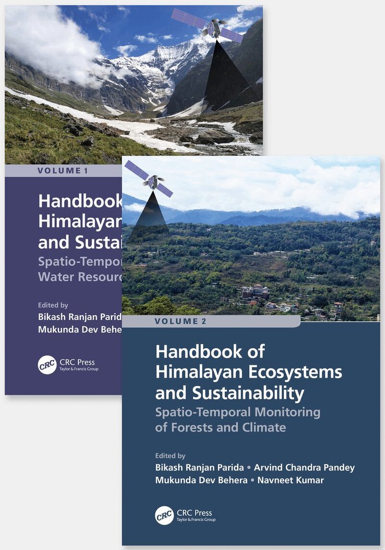
Volume 2: Handbook of Spatio-Temporal Monitoring of Water Resources and Climate is aimed to describe the current state of knowledge and developments of geospatial technologies (Remote Sensing and Geographic Information Systems) for assessing and managing water resources under climate change. It is a collective achievement of renowned researchers and academicians working in the Hindu Kush Himalayan (HKH) mountain range. The HKH region is a part of the Third Pole outside the polar regions due to its largest permanent snow cover. Importantly, the Himalayan belt is geologically fragile and vulnerable to geohazards (e.g. landslides, land subsidence, rockfalls, debris flow, avalanches, and earthquakes). Therefore, critical assessment and geospatial solutions are indispensable to safeguard the natural resources and human beings in the Himalayas using space-borne satellite datasets. This book also showcases various remote sensing techniques and algorithms in the field of urban sprawling, urban microclimate and air pollution. The potential impacts of climate change on the cryosphere and water resources are also highlighted. This comprehensive Handbook is highly interdisciplinary and explains the role of geospatial technologies in studying the water resources of the Himalayas considering climate change.
Key Features
This book is unique as it focuses on the utility of satellite data for monitoring snow cover variability, snowmelt runoff, glacier lakes, avalanche susceptibility and flood modeling.
Explain how Remote Sensing techniques are useful for mapping and managing the morphology and ecology of the Himalayan River.
Addresses how geospatial technologies are valuable for understanding climate change impact on hydrological extremes, the potential impact of land use/land cover change (LULC) on hydrology and water resources management.
It highlights the impact of LULC changes on land surface temperature, groundwater, and air pollution in urban areas.
Includes contributions from global professionals working in the HKH region.
Readership
The Handbook serves as a valuable reference for students, researchers, scientists, Hydrologists, hydro-ecologists, meteorologists, geologists, decision makers and all others who wish to advance their knowledge on monitoring and managing water resources and urban ecosystem using remote sensing in the HKH region considering climate change.

992 kr
Läs direkt efter köp
Volume 2: Handbook of Spatio-Temporal Monitoring of Water Resources and Climate is aimed to describe the current state of knowledge and developments of geospatial technologies (Remote Sensing and Geographic Information Systems) for assessing and managing water resources under climate change. It is a collective achievement of renowned researchers and academicians working in the Hindu Kush Himalayan (HKH) mountain range. The HKH region is a part of the Third Pole outside the polar regions due to its largest permanent snow cover. Importantly, the Himalayan belt is geologically fragile and vulnerable to geohazards (e.g. landslides, land subsidence, rockfalls, debris flow, avalanches, and earthquakes). Therefore, critical assessment and geospatial solutions are indispensable to safeguard the natural resources and human beings in the Himalayas using space-borne satellite datasets. This book also showcases various remote sensing techniques and algorithms in the field of urban sprawling, urban microclimate and air pollution. The potential impacts of climate change on the cryosphere and water resources are also highlighted. This comprehensive Handbook is highly interdisciplinary and explains the role of geospatial technologies in studying the water resources of the Himalayas considering climate change.
Key Features
This book is unique as it focuses on the utility of satellite data for monitoring snow cover variability, snowmelt runoff, glacier lakes, avalanche susceptibility and flood modeling.
Explain how Remote Sensing techniques are useful for mapping and managing the morphology and ecology of the Himalayan River.
Addresses how geospatial technologies are valuable for understanding climate change impact on hydrological extremes, the potential impact of land use/land cover change (LULC) on hydrology and water resources management.
It highlights the impact of LULC changes on land surface temperature, groundwater, and air pollution in urban areas.
Includes contributions from global professionals working in the HKH region.
Readership
The Handbook serves as a valuable reference for students, researchers, scientists, Hydrologists, hydro-ecologists, meteorologists, geologists, decision makers and all others who wish to advance their knowledge on monitoring and managing water resources and urban ecosystem using remote sensing in the HKH region considering climate change.

5 471 kr
Skickas inom 10-15 vardagar

2 421 kr
Skickas inom 10-15 vardagar

2 421 kr
Skickas inom 10-15 vardagar
835 kr
Skickas inom 10-15 vardagar
976 kr
Skickas inom 10-15 vardagar
2 027 kr
Skickas inom 10-15 vardagar

854 kr
Skickas inom 5-8 vardagar

547 kr
Skickas inom 5-8 vardagar
3 113 kr
Skickas inom 10-15 vardagar
4 066 kr
Läs direkt efter köp

1 623 kr
Skickas inom 10-15 vardagar

1 977 kr
Läs direkt efter köp

153 kr
Skickas inom 5-8 vardagar
2 484 kr
Skickas inom 10-15 vardagar
2 366 kr
Läs direkt efter köp
This textbook highlights the engineering fundamentals and processing aspects of agricultural produce and covers important aspects of agro-processing and food engineering in one place. The chapters cover material handling, drying, size reduction process, mixing and forming, cleaning and separation, storage, and processing of cereals, pulses, oilseeds, fruit and vegetables, and their products. The book’s contents are systematically designed to provide a balanced overview of agro-processing techniques from the basic concepts to the case study, handling of the materials, and different unit operations. The systematic and simple elaboration of scientific aspects will make it unique and help to develop skills in the field. Many illustrations in form of diagrams/charts/pictures provide a clear understanding. Solved numerical problems, which are given in the chapters, will provide students clarity in conceptualizing the basics. The book covers the syllabus related to agro-processing and foodengineering at the undergraduate and postgraduate level in various universities, agricultural universities, allied institutes, and colleges across the globe. It will be extremely beneficial to students as it covers the most important and relevant topics, which are hardly covered in any other single compilation and published textbooks. It would be a good textbook for universities, agricultural universities, institutes, and colleges running courses in agriculture, horticulture, postharvest technology, process and food engineering, food engineering, food engineering and technology, food technology, food science, and food and nutrition.
1 838 kr
Skickas inom 10-15 vardagar
153 kr
Skickas inom 5-8 vardagar
228 kr
Skickas inom 5-8 vardagar
350 kr
Skickas inom 5-8 vardagar
244 kr
Skickas inom 5-8 vardagar
365 kr
Skickas inom 5-8 vardagar