
Roland Pail – författare
Fiducial Reference Measurements for Altimetry
Proceedings of the International Review Workshop on Satellite Altimetry Cal/Val Activities and Applications
1 619 kr
Skickas inom 10-15 vardagar
2 081 kr
Läs direkt efter köp
These proceedings include selected papers from the International Review Workshop on Satellite Altimetry Cal/Val Activities and Applications, held in Chania, Crete, Greece, on 23-26 April 2018. Organised in the context of the European Space Agency Project “Fiducial Reference Measurements for Altimetry” the workshop was cosponsored by the International Association of Geodesy (in particular by the IAG Commission 2, Gravity Field), the European Space Agency, the European Union (the Copernicus Programme), the European Organisation for the Exploitation of Meteorological Satellites (EUMETSAT), Space Geomatica P.C., and the Municipality of Chania.
The workshop presented the latest research in the field of satellite altimetry calibration and altimetry applications for monitoring ocean changes and improving Earth observation in an objective, continuous, homogeneous and reliable manner, free of errors and biases. Further, it supported long-term monitoring of climate change by providing abetter understanding of environmental changes in the world''s oceans, terrestrial surface waters, and Arctic and Antarctic Regions. The outcome was the creation of a scientific roadmap with procedures, protocols, guidelines, and best practices to help international groups working on satellite altimetry to establish SI (Système International d''Unités) traceability of their measurements, results and data products.

2 095 kr
Skickas inom 5-8 vardagar
839 kr
Skickas inom 5-8 vardagar

983 kr
Läs direkt efter köp
The fifth edition of this textbook has been completely revised and significantly extended in order to reflect the revolution of geodetic technologies, methods and applications during the last decade. The Global Geodetic Observing System established by the IAG utilizes a variety of techniques to determine the geometric shape of the earth and its kinematics, the variations of earth rotation, and the earth’s gravity field. The societal importance of geodetic products was highlighted by the UN resolution on the Global Geodetic Reference Frame. In this context, both space and terrestrial techniques play a fundamental role. Recent space missions are monitoring climate-relevant processes such as mass transport in the Earth system and sea level changes. The analysis of the time variation of the geodetic products provides the link to neighboring geosciences and contributes to proper modelling of geodynamic processes. New satellite mission concepts and novel technologies such as quantum gravimetry and optical clocks show great potential to further improve the geodetic observing system in the future. The book especially addresses graduate students in the fields of geodesy, geophysics, surveying engineering, geomatics, and space navigation. It should also serve as a reference for geoscientists and engineers facing geodetic problems in their professional work. The book follows the principal directions of geodesy, providing the theoretical background as well as the principles of measurement and evaluation methods, which is enriched with numerous figures. An extensive reference list supports further studies.
International Symposium on Gravity, Geoid and Height Systems 2016
Proceedings Organized by IAG Commission 2 and the International Gravity Field Service, Thessaloniki, Greece, September 19-23, 2016
1 619 kr
Skickas inom 10-15 vardagar
2 049 kr
Läs direkt efter köp
1 082 kr
Skickas inom 10-15 vardagar
1 416 kr
Läs direkt efter köp
1 082 kr
Skickas inom 10-15 vardagar
299 kr
Skickas inom 5-8 vardagar
306 kr
Läs direkt efter köp
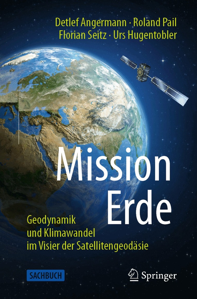
Woher weiß Ihr Handy, wo Sie gerade unterwegs sind? Wie verändert sich unser Planet aufgrund von geodynamischen Prozessen und dem fortschreitenden Klimawandel? Wie können diese Veränderungen präzise aus dem Weltraum vermessen werden, um verlässliche Aussagen etwa über das Abschmelzen der Eisschilde oder die Bedrohung von Küstenregionen durch den steigenden Meeresspiegel zu erhalten? Das vorliegende Sachbuch gibt Antworten auf diese gesellschaftlich relevanten Fragen. Es richtet sich an interessierte Laien, die mehr über unseren faszinierenden Planeten erfahren wollen, aber auch an Fachexperten naturwissenschaftlicher Disziplinen. Sie werden mitgenommen auf eine spannende Zeitreise von den ersten Vermessungen in der Antike bis in das Zeitalter der Satelliten, die uns die weltweite Bestimmung von extrem genauen Positionen und eine globale Sicht auf unseren Heimatplaneten ermöglichen. Anhand anschaulicher Beispiele wird vermittelt, wie tief die globale Positionierung und Navigation mit Satelliten unseren Alltag durchdrungen haben, und welche fundamentalen Beiträge die Geodäsie als die Wissenschaft von der Vermessung der Erde zum Verständnis des Erdsystems und zur Bestimmung der Auswirkungen des Klimawandels liefert.
Mit Interviewbeiträgen von Günter Hein, Harald Lesch und Stefan Rahmstorf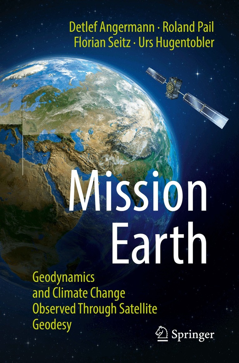
302 kr
Skickas inom 10-15 vardagar
396 kr
Läs direkt efter köp
How does your cell phone know where you are right now? How is our planet changing due to geodynamic processes and ongoing climate change? How can these changes be precisely measured from space in order to obtain reliable information about the melting of ice sheets or the threat to coastal regions from rising sea levels? This popular science book provides answers to these and many other socially relevant questions. It is aimed at interested nonprofessionals who want to learn more about our fascinating planet, but also at experts in natural sciences. You are taken on an exciting journey through time from the first surveys in ancient times to the satellite era, which is providing us with a global view of our home planet. Illustrative examples demonstrate how deeply global positioning and navigation with satellites pervade our daily life, and what fundamental contributions geodesy makes to understanding the Earth system and determining the effects of climate change.
With interview contributions by Günter Hein, Harald Lesch and Stefan Rahmstorf.
This book is a translation of the original German 1st edition Mission Erde by Detlef Angermann et al., published by Springer-Verlag GmbH Germany, part of Springer Nature in 2021. The translation was done with the help of artificial intelligence (machine translation by the service DeepL.com). Content and language were subsequently revised by the authors. Springer Nature works continuously to further the development of tools for the production of books and on the related technologies to support the authors.