• Fri frakt över 249 kr
  • •
  • Snabba leveranser
  • •
  • Billiga böcker
Kundservice

Du är på sajten för privatpersoner.

Företag, bibliotek eller offentlig verksamhet?

Du handlar på classic.bokus.com, där alla dina funktioner finns intakta.
Till classic.bokus.com
Bokus logotyp. Gå till startsidan.
  • Erbjudanden
  • Nyheter
  • Student
  • Topplistor
  • Barn & ungdom
  • Bokus Play
  • E-böcker
  • Pocketböcker
  • Spel & pussel

10% rabatt på allt med kod: NYSTART10 →

Sidfot

Mina sidor

    Hjälp

    • Kundservice
    • Vanliga frågor och svar
    • Frakt och leverans
    • Retur vid ångerrätt
    • Reklamera vara
    • Betalning
    • Köpvillkor
    • Allmänna villkor
    • Information om webbplatsens tillgänglighet

    Om Bokus

    • Om oss
    • Pressrum
    • För studenter
    • För företag
    • För bibliotek och offentlig verksamhet
    • För leverantörer
    • Hållbarhet

    Populärt

    • Aktuella erbjudanden
    • Presentkort
    • Studentlitteratur
    • Nya böcker
    • Topplistor
    • Signerade böcker
    • Engelska böcker

    Inspiration

    • Boktips
    • BookTok
    • Populära bokserier
    • Barnbokskaraktärer
    • Populära författare
    Logotyp för Bokus
    Följ oss på Facebook (extern länk)Följ oss på Instagram (extern länk)Följ oss på YouTube (extern länk)Följ oss på TikTok (extern länk)
    bokus @ CookiesAnpassa cookiesIntegritetspolicyKöpvillkor
    Till Citymail hemsida (extern länk)Till Budbee hemsida (extern länk)Till Postnord hemsida (extern länk)Till Schenker hemsida (extern länk)Till Early Bird hemsida (extern länk)Till Walleys hemsida (extern länk)
    1. Naturvetenskap och teknik
    2. Geovetenskap
    3. Geovetenskap

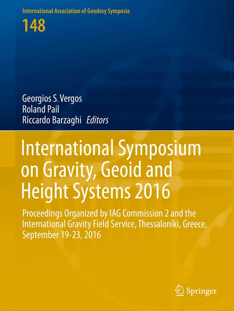
    International Symposium on Gravity, Geoid and Height Systems 2016

    Proceedings Organized by IAG Commission 2 and the International Gravity Field Service, Thessaloniki, Greece, September 19-23, 2016

    AvGeorgios S. Vergos,Roland Pail

    Inbunden, Engelska, 2019

    Del 148 i serien International Association of Geodesy Symposia

    1 625 kr

    Beställningsvara. Skickas inom 10-15 vardagar. Fri frakt över 249 kr.

    Beskrivning

    These proceedings contain 27 papers, which are the peer-reviewed versions of presentations made at the International Association of Geodesy (IAG) symposium “Gravity, Geoid and Height Systems 2016” (GGHS2016). GGHS2016 was the first Joint international symposium organized by IAG Commission 2 “Gravity Field”, the International Gravity Field Service (IGFS) and the GGOS Focus Area “Unified Height System”. It took place in Thessaloniki, Greece, in September 19-23, 2016 at the premises of the Aristotle University of Thessaloniki. The symposium was organized by the Department of Geodesy and Surveying of the Aristotle University of Thessaloniki, which presently hosts the IGFS Central Bureau. The focus of the Symposium was on methods for observing, estimating and interpreting the Earth gravity field as well as its applications. GGHS2016 continued the long and successful history of IAG’s Commission 2 Symposia.

    Produktinformation

    • Utgivningsdatum:2019-01-10
    • Mått:210 x 279 x 19 mm
    • Vikt:849 g
    • Format:Inbunden
    • Språk:Engelska
    • Serie:International Association of Geodesy Symposia
    • Antal sidor:230
    • Förlag:Springer International Publishing AG
    • ISBN:9783319953175

    Utforska kategorier

    • Geovetenskap inom Naturvetenskap och teknik
    • Tillämpad fysik inom Naturvetenskap och teknik
    • Geografi inom Naturvetenskap och teknik

    Mer om författaren

    Jeffrey T. Freymueller, Series EditorLaura Sánchez, Series Assistant Editor

    Innehållsförteckning

    • Part 1 Global gravity field modelling.- Rigorous evaluation of gravity field functionals from satellite-only gravitational models within topography.- Application of the Recursive Least-Squares adaptive filter on simulated satellite gravity gradiometry data.- Part 2 Local/regional geoid determination methods and models.- Accuracy of regional geoid modelling with GOCE.- The effect of noise on geoid height in Stokes-Helmert method.- Approximation of local quasi-geoid using point mass method based on Bjerhammar theory.- Optimal combination of satellite and terrestrial gravity data for regional geoid determination using Stokes-Helmert’s method, the Auvergne test case.- New modifications of Stokes’ Integral.- Gravimetric investigations at Vernagtferner.- Analysis of the GRAV-D airborne gravity data for geoid modelling.- The African 300”x300” DTM and its validation.- Evaluation of the African Gravity Database AFRGDB V1.0.- Part 3 Absolute and relative gravity: observations and methods.- New absolute gravity measurements in New Zealand.- Strapdown airborne gravimetry using a combination of commercial software and stable-platform gravity estimates.- First six months of superconducting gravimetry in Argentina.- Tilt susceptibility of the Scintrex CG-5 Autograv gravity meter revisited.- Gravity calibration baseline between Jeddah and Taif in the Kingdom of Saudi Arabia.- Part 4 Height systems and vertical datum unification.- Investigation of geoid height variations and vertical displacements of the Earth surface in the context of the realization of a modern vertical reference system – A case study for Poland.- Analysis of GOCE omission error and its contribution to vertical datum offsets in Greece and its Islands.- Quality control of height benchmarks in Attica, Greece, combining GOCE/GRACE satellite data, global geopotential models and detailed terrain information.- GOCE variance and covariance contribution to height system unification.- The use of GNSS/levelling and gravitydata for the Spanish height system unification.- Comparison of different approaches to gravity determination and their utilization for calculation of geopotential numbers in the Slovak national levelling network.- Assessment of the Greek Vertical Datum – A case study in central Greece.- Evaluation of NRTK-based heighting techniques from different continuously operating GNSS reference networks in Greece.- Part 5 Satellite altimetry and climate-relevant processes.- SLA determination in coastal areas using Least-Squares Collocation and Cryosat-2 data.- Spectral analysis and validation of Multiple Input / Multiple Output DOT estimation in the Eastern Mediterranean Sea.- Preliminary Results on the Estimation of Ground Water in Africa using GRACE and Hydrological Models.