2 781 kr
Skickas inom 5-8 vardagar
2 781 kr
Skickas inom 5-8 vardagar
1 410 kr
Skickas inom 5-8 vardagar
524 kr
Skickas inom 3-6 vardagar
2 404 kr
Skickas inom 5-8 vardagar
Mit einer über zweitausendjährigen Geschichte gehört die Geodäsie neben der Astronomie und der Geographie zu den ältesten Wissenschaften, die sich mit der Thematik Erde bzw. andere Himmelskörper befassen. In diesem Werk wird die Entwicklung der Geodäsie vom Altertum über das Mittelalter und die frühe Neuzeit bis in die Mitte des 20. Jahrhundert vorgestellt, mit einer immer stärker werdenden Konzentration auf Deutschland. Zahlreiche größtenteils farbige Abbildungen ergänzen den Text.
Behandelte Epochen: Altertum, Mittelalter, frühe Neuzeit, napoleonische Zeit, Entstehung geodätischer Systeme bis zur Reichsgründung, Preußens Einfluss auf die Landesvermessung, radikale Veränderung der Geodäsie in der zweiten Hälfte des 20. Jahrhunderts. Mit über 200, teilweise farbigen Illustrationen.628 kr
Läs direkt efter köp
Das Buch gibt einen systematischen Überblick über die grundlegenden Theorien, die Bezugssysteme und die Mess- und Auswertemethoden der Geodäsie, wobei der Beitrag der geodätischen Raumtechniken zur Positionierung und zur Schwerefeldbestimmung besonders herausgestellt wird. Diese Methoden haben auch zu einem für die Praxis wichtigen Wandel in der Einrichtung geodätischer Grundlagennetze geführt. Zur interdisziplinären Geodynamikforschung kann die Geodäsie damit ebenfalls wesentliche Beiträge leisten. Der gegenwärtige Stand der Geodäsie wird durch eine Vielzahl von Beispielen aus Messung, Auswertung und Analyse illustriert, ein umfangreiches Literaturverzeichnis erleichtert ein weitergehendes Studium. Das Buch vermittelt einen umfassenden Überblick über die tiefgreifenden Veränderungen, welche die Geodäsie in den vergangenen zwanzig Jahren erfahren hat.
2 621 kr
Skickas inom 5-8 vardagar
In der vorliegenden zweiten, durchgesehenen und teilweise mit größeren Abbildungen versehenen Auflage wird die Entwicklung der Geodäsie vom Altertum über das Mittelalter und die Frühe Neuzeit bis in die Mitte des 20. Jahrhunderts vorgestellt, mit einer immer stärker werdenden Konzentration auf Deutschland. So werden auch die Entstehung geodätischer Systeme bis zur Reichsgründung, Preußens Einfluss auf die Landesvermessung, sowie die radikale Veränderung der Geodäsie in der zweiten Hälfte des 20. Jahrhunderts behandelt.
Mit über 200, teilweise farbigen Illustrationen567 kr
Läs direkt efter köp
The fourth edition of this textbook has been thoroughly revised in order to reflect the central role which geodesy has achieved in the past ten years.
The Global Geodetic Observing System established by the IAG utilizes a variety of techniques to determine the geometric shape of the earth and its kinematics, the variations of earth rotation, and the earth’s gravity field. Space techniques play a fundamental role, with recent space missions also including gravity field recovery. Terrestrial techniques are important for regional and local applications, and for validating the results of the space missions. Global and regional reference systems are now well established and widely used. They also serve as a basis for geo-information systems. The analysis of the time variation of the geodetic products provides the link to other geosciences and contributes to proper modelling of geodynamic processes.
The book follows the principal directions of geodesy, providing the theoretical background as well as the principles of measurement and evaluation methods. Selected examples of instruments illustrate the geodetic work. An extensive reference list supports further studies.
The book is intended to serve as an introductory textbook for graduate students as well as a reference for scientists and engineers in the fields of geodesy, geophysics, surveying engineering and geomatics.
845 kr
Skickas inom 5-8 vardagar
991 kr
Läs direkt efter köp
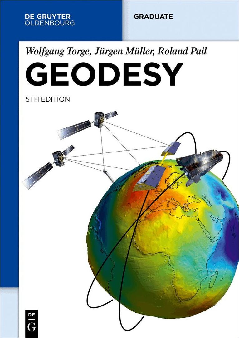
The fifth edition of this textbook has been completely revised and significantly extended in order to reflect the revolution of geodetic technologies, methods and applications during the last decade. The Global Geodetic Observing System established by the IAG utilizes a variety of techniques to determine the geometric shape of the earth and its kinematics, the variations of earth rotation, and the earth’s gravity field. The societal importance of geodetic products was highlighted by the UN resolution on the Global Geodetic Reference Frame. In this context, both space and terrestrial techniques play a fundamental role. Recent space missions are monitoring climate-relevant processes such as mass transport in the Earth system and sea level changes. The analysis of the time variation of the geodetic products provides the link to neighboring geosciences and contributes to proper modelling of geodynamic processes. New satellite mission concepts and novel technologies such as quantum gravimetry and optical clocks show great potential to further improve the geodetic observing system in the future. The book especially addresses graduate students in the fields of geodesy, geophysics, surveying engineering, geomatics, and space navigation. It should also serve as a reference for geoscientists and engineers facing geodetic problems in their professional work. The book follows the principal directions of geodesy, providing the theoretical background as well as the principles of measurement and evaluation methods, which is enriched with numerous figures. An extensive reference list supports further studies.
991 kr
Läs direkt efter köp
The fifth edition of this textbook has been completely revised and significantly extended in order to reflect the revolution of geodetic technologies, methods and applications during the last decade. The Global Geodetic Observing System established by the IAG utilizes a variety of techniques to determine the geometric shape of the earth and its kinematics, the variations of earth rotation, and the earth’s gravity field. The societal importance of geodetic products was highlighted by the UN resolution on the Global Geodetic Reference Frame. In this context, both space and terrestrial techniques play a fundamental role. Recent space missions are monitoring climate-relevant processes such as mass transport in the Earth system and sea level changes. The analysis of the time variation of the geodetic products provides the link to neighboring geosciences and contributes to proper modelling of geodynamic processes. New satellite mission concepts and novel technologies such as quantum gravimetry and optical clocks show great potential to further improve the geodetic observing system in the future. The book especially addresses graduate students in the fields of geodesy, geophysics, surveying engineering, geomatics, and space navigation. It should also serve as a reference for geoscientists and engineers facing geodetic problems in their professional work. The book follows the principal directions of geodesy, providing the theoretical background as well as the principles of measurement and evaluation methods, which is enriched with numerous figures. An extensive reference list supports further studies.
1 472 kr
Läs direkt efter köp
1 577 kr
Läs direkt efter köp
1 609 kr
Skickas inom 5-8 vardagar
1 472 kr
Läs direkt efter köp
1 657 kr
Skickas inom 5-8 vardagar
Symposium No. 111, Vienna, Austria, August 13, 1991
1 106 kr
Skickas inom 10-15 vardagar
1 427 kr
Läs direkt efter köp