
Nottingham A-Z Street Atlas
Navigate Your Way Around Nottingham with Ease Using Trusted Mapping (A5)
AvA-Z Maps
Häftad, Engelska, 2026
113 kr
Kommande
Fler format och utgåvor
Beskrivning
Navigate your way around Nottingham with this detailed and easy-to-use A-Z Street Atlas.Printed in full-colour, paperback format, this atlas contains 74 pages of continuous street mapping in a NEW A5 format for ease of use.The main mapping extends beyond central Nottingham at a scale of 4 inches to 1 mile, featuring postcode districts, one-way streets, and park and ride sites.Areas covered include: Arnold, Beeston, Calverton, Carlton, Cotgrave, Eastwood, Hucknall, Heanor, Ilkeston, Keyworth, Long Eaton, Kimberley, Stapleford, West Bridgford. Separate coverage of Bingham is provided.A separate map is included for the Nottingham Express Transit Map at the back of the book.A comprehensive index lists streets, selected flats, walkways and places of interest, place, area and station names. Additional healthcare (hospitals, walk-in centres and hospices) and transport connections (Nottingham Express Transit) are indexed as well.
Produktinformation
Utforska kategorier
Mer om författaren


Hoppa över listan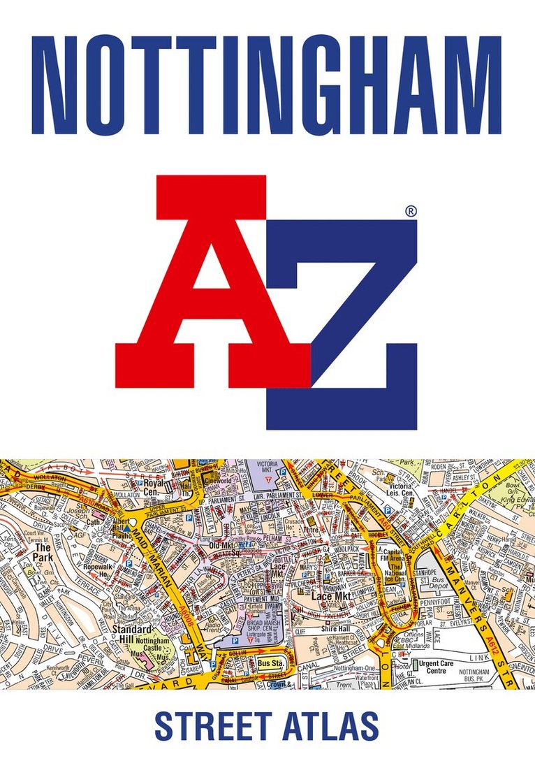


Du kanske också är intresserad av
- Nyhet
Del 6
- Signerad!
- -22%
Del 1
- Nyhet
Hjärnans akilleshälar : hur din hjärna lurar dig, och vad du kan göra åt det
Anders Hansen
Inbunden
289 kr
- -30%
- Signerad!
Del 3
- Signerad!
Del 7
- Nyhet
Del 7
- Nyhet
Del 6