

Fler format och utgåvor
Beskrivning
Navigate your way around Southampton with this detailed and easy-to-use A-Z Street Atlas. Printed in full-colour, paperback format, this atlas contains 50 pages of continuous street mapping.The main mapping extends beyond central Southampton at a scale of 4 inches to 1 mile, featuring postcode districts, one-way streets, park and ride sites, and safety camera locations. Areas covered include:• Eastleigh• Fawley• Hythe• Romsey• Southampton Airport• Totton• Chandler's Ford• Hamble-le-Rice• Hedge End• North BaddesleyThe large-scale street map of Southampton city centre – at a scale of 8 inches to 1 mile – includes:• Postcode map of the Southampton area• Road map of the Southampton area• New Forest National Park boundariesA comprehensive index lists streets, selected flats, walkways and places of interest, place, area and station names. Additional healthcare (hospitals, walk-in centres and hospices) are indexed as well.
Produktinformation
Utforska kategorier
Mer om författaren


Hoppa över listan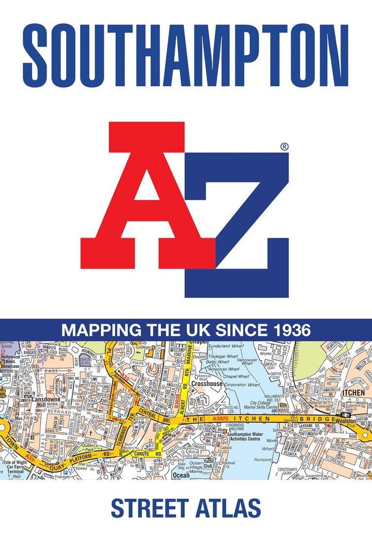


Du kanske också är intresserad av
- Signerad!
- -23%
- -19%
- 4 för 3
Del 11
- Signerad!
- -30%
Del 1
- 4 för 3
- -23%
- 4 för 3