

Ships on Maps
Pictures of Power in Renaissance Europe
E-bok
PDF, Engelska, 20101 459 kr
Läs direkt i Bokus Reader – eller ladda ned till din enhet (PDF kräver ofta zoom och scroll på små skärmar).
Fler format och utgåvor
Beskrivning
Renaissance map-makers produced ever more accurate descriptions of geography, which were also beautiful works of art. They filled the oceans Europeans were exploring with ships and to describe the real ships which were the newest and best products of technology. Above all the ships were there to show the European conquest of the seas of the world.
Produktinformation
Utforska kategorier
Hoppa över listan


Mer från samma författare
Del 14
War at Sea in the Middle Ages and the Renaissance
John B. Hattendorf, Richard W. Unger
Inbunden, 2002
1 266 kr
Hoppa över listan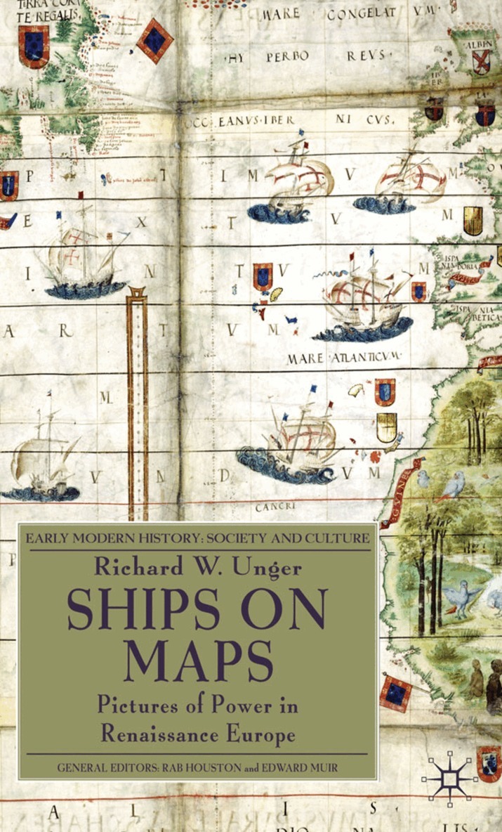
Du kanske också är intresserad av
Del 14
War at Sea in the Middle Ages and the Renaissance
John B. Hattendorf, Richard W. Unger
Inbunden, 2002
1 266 kr