Inbunden, Engelska, 2010
Ships on Maps
Pictures of Power in Renaissance Europe
Del i serien Early Modern History: Society and Culture
1114 kr
Beställningsvara. Skickas inom 10-15 vardagar. Fri frakt över 249 kr.
Beskrivning
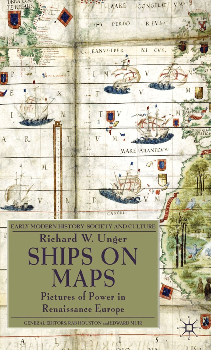
Renaissance map-makers produced ever more accurate descriptions of geography, which were also beautiful works of art. They filled the oceans Europeans were exploring with ships and to describe the real ships which were the newest and best products of technology. Above all the ships were there to show the European conquest of the seas of the world.
Produktinformation
- Utgivningsdatum: 2010-08-04
- Mått: 155 x 235 x 20 mm
- Vikt: 517 g
- Format: Inbunden
- Språk: Engelska
- Serie: Early Modern History: Society and Culture
- Antal sidor: 233
- Upplaga: 2010
- Förlag: Palgrave Macmillan
- ISBN: 9780230231641
Utforska kategorier
Mer om författaren
RICHARD W. UNGER trained as an economic historian and has published widely on ships and shipping before 1800, brewing from the Middle Ages to the twentieth century and on energy use and its impact in pre-modern Europe. He has taught history at the University of British Columbia for more than four decades.
Betyg & recensioner
0 recensioner
Inga recensioner tillgängliga.