

727 kr
Beställningsvara. Skickas inom 10-15 vardagar. Fri frakt över 249 kr.
Beskrivning
This is a comprehensive, overarching, interdisciplinary book and a valuable contribution to a unified view of visualisation, imaging, and mapping. It covers a variety of modern techniques, across an array of spatial scales, with examples of how to map, monitor, and visualise the world in which we live. The authors give detailed explanations of the techniques used to map and monitor the built and natural environment and how that data, collected from a wide range of scales and cost options, is translated into an image or visual experience. It is written in a way that successfully reaches technical, professional, and academic readers alike, particularly geographers, architects, geologists, and planners.FEATURESIncludes in-depth discussion on 3D image processing and modelingFocuses on the 3D application of remote sensing, including LiDAR and digital photography acquired by UAS and terrestrial techniquesIntroduces a broad range of data collection techniques and visualisation methodsIncludes contributions from outstanding experts and interdisciplinary teams involved in earth sciencesPresents an open access chapter about the EU-funded CHERISH Project, detailing the development of a toolkit for the 3D documentation and analysis of the combined coastline shared between Ireland and WalesIntended for those with a background in the technology involved with imaging and mapping, the contributions shared in this book introduce readers to new and emerging 3D imaging tools and programs.
Produktinformation
Utforska kategorier
Mer om författaren
Innehållsförteckning
Hoppa över listan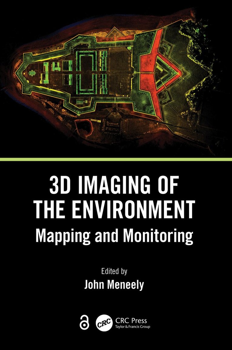


Du kanske också är intresserad av
- Signerad!
- Signerad!
- Nyhet
Del 3
- -30%
- Nyhet
Hjärnans akilleshälar : hur din hjärna lurar dig, och vad du kan göra åt det
Anders Hansen
Inbunden
289 kr
- Nyhet
- -22%
Del 1
- Signerad!