

420 kr
Skickas . Fri frakt över 249 kr.
Beskrivning
Nowadays, we take for granted the ready availability of maps of all kinds. In mid-Tudor England, they were rare. All this was to change in 1579 when Christopher Saxton, a farmer from the West Riding of Yorkshire, became the first cartographer to make a published atlas of all the counties of England and Wales. This book traces the story of Saxton’s life and legacy by reconstructing his extraordinary mapmaking project alongside the crucial nature of the support and encouragement he received from Queen Elizabeth I and her court.Saxton’s atlas became the template for most detailed maps of the country for almost two centuries: it is hard to exaggerate its importance. For many, his atlas provided the first detailed image of England and Wales they had ever seen, showing the Elizabethan kingdom as a whole and in its constituent parts. This lavishly illustrated book reproduces all Saxton’s county maps together with many other illustrations revealing the forebears and successors to this groundbreaking work. Today, Saxton’s maps give us an invaluable cartographic snapshot of late Tudor England.
Produktinformation
Utforska kategorier
Mer om författaren
Recensioner i media


Hoppa över listan


Du kanske också är intresserad av
- -30%
- -22%
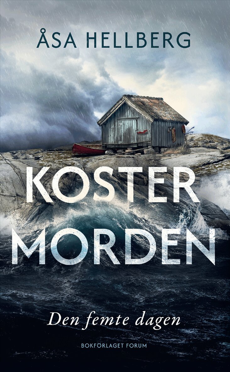
Del 2
- -30%
- -22%
Del 1
- Signerad!
- 4 för 3
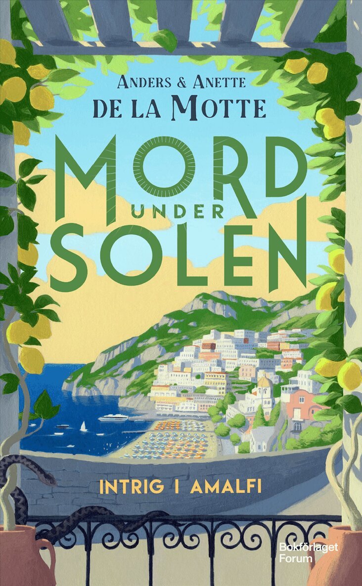
Del 1
- -30%
- -30%
Del 2
- Signerad!
- Nyhet
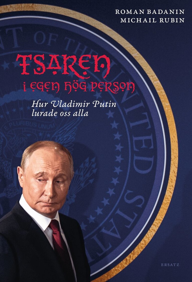
Tsaren i egen hög person : hur Vladimir Putin lurade oss alla
Roman Badanin, Michail Rubin
Inbunden
349 kr