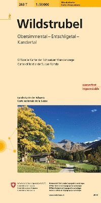
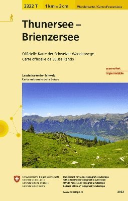
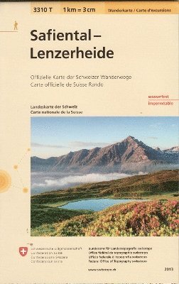
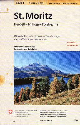
The new hiking maps make route planning easy with useful additional information such as public transport stops, points of interest, observation towers, secluded inns or car parks. Switzerland mobility's hiking routes are also marked. Each map also contains five attractive hiking suggestions by the Swiss hiking Federation.The maps are even easier to read thanks to the new national map graphics. Their fresh and modern appearance as well as hiking trail categories in colour and pictograms help hikers find their way quickly and safely.The trail categories "hiking trail", "mountain hiking trail" and "alpine hiking trail" are immediately recognizable by the symbol colours yellow, red and blue. hard-surfaced and unsurfaced trails are also easy to identify.The new hiking map contains Switzerland's entire netword of hiking trails printed on waterproof, tear-resistant paper. All information is clearly arranged on one page.