
Thermal Infrared Remote Sensing
Sensors, Methods, Applications
Inbunden, Engelska, 2013
Del i serien Remote Sensing and Digital Image Processing
2 473 kr
Beställningsvara. Skickas inom 10-15 vardagar. Fri frakt över 249 kr.
Beskrivning
This book provides a comprehensive overview of the state of the art in the field of thermal infrared remote sensing. Temperature is one of the most important physical environmental variables monitored by earth observing remote sensing systems. Temperature ranges define the boundaries of habitats on our planet. Thermal hazards endanger our resources and well-being. In this book renowned international experts have contributed chapters on currently available thermal sensors as well as innovative plans for future missions. Further chapters discuss the underlying physics and image processing techniques for analyzing thermal data. Ground-breaking chapters on applications present a wide variety of case studies leading to a deepened understanding of land and sea surface temperature dynamics, urban heat island effects, forest fires, volcanic eruption precursors, underground coal fires, geothermal systems, soil moisture variability, and temperature-based mineral discrimination. ‘Thermal Infrared Remote Sensing: Sensors, Methods, Applications’ is unique because of the large field it spans, the potentials it reveals, and the detail it provides. This book is an indispensable volume for scientists, lecturers, and decision makers interested in thermal infrared technology, methods, and applications.
Produktinformation
Utforska kategorier
Recensioner i media
Innehållsförteckning
Hoppa över listan

Du kanske också är intresserad av
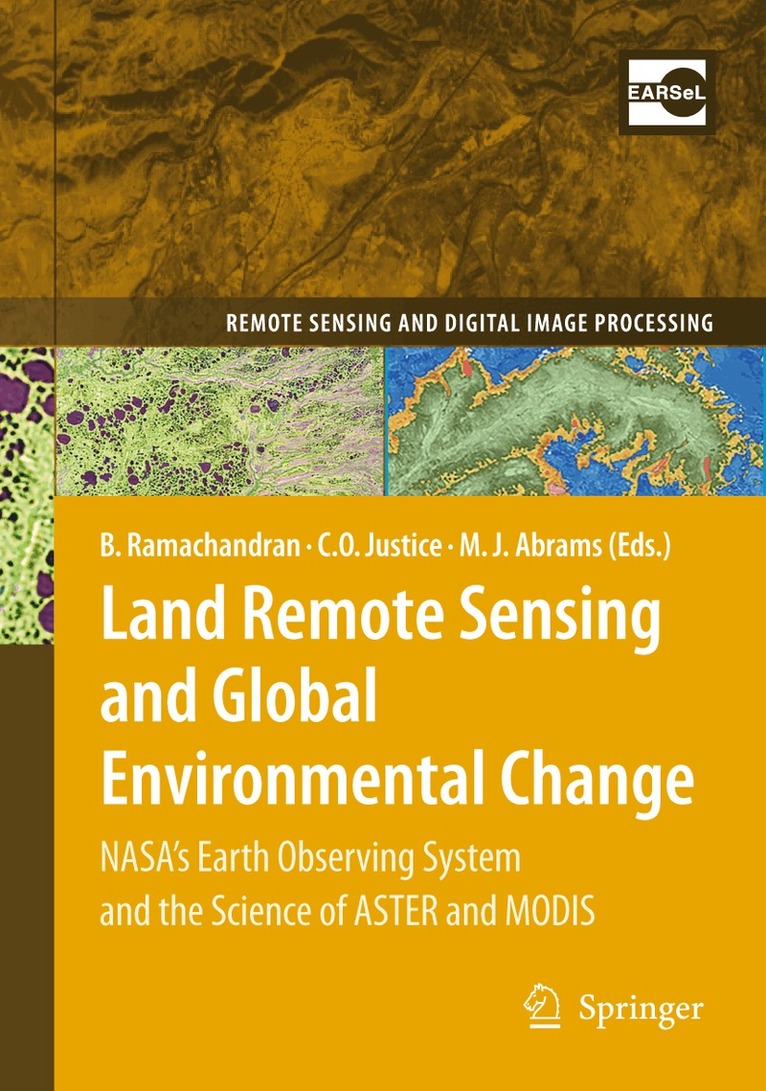
Land Remote Sensing and Global Environmental Change
Bhaskar Ramachandran, Christopher O. Justice, Michael J. Abrams
Inbunden, 2010
3 223 kr
Del 15
Del 18
Artificial Intelligence Techniques for Satellite Image Analysis
D. Jude Hemanth
Inbunden, 2019
1 829 kr
Remote Sensing Image Analysis: Including the Spatial Domain
Steven M. de Jong, Freek D. van der Meer
Inbunden, 2004
1 079 kr