• Fri frakt över 249 kr
  • •
  • Snabba leveranser
  • •
  • Billiga böcker
Kundservice

Du är på sajten för privatpersoner.

Företag, bibliotek eller offentlig verksamhet?

Du handlar på classic.bokus.com, där alla dina funktioner finns intakta.
Till classic.bokus.com
Bokus logotyp. Gå till startsidan.
  • Erbjudanden
  • Nyheter
  • Student
  • Topplistor
  • Barn & ungdom
  • Bokus Play
  • E-böcker
  • Pocketböcker
  • Spel & pussel

10% rabatt på allt med kod NYSTART10 →

Sidfot

Mina sidor

    Hjälp

    • Kundservice
    • Vanliga frågor och svar
    • Frakt och leverans
    • Retur vid ångerrätt
    • Reklamera vara
    • Betalning
    • Köpvillkor
    • Allmänna villkor
    • Information om webbplatsens tillgänglighet

    Om Bokus

    • Om oss
    • Pressrum
    • För studenter
    • För företag
    • För bibliotek och offentlig verksamhet
    • För leverantörer
    • Hållbarhet

    Populärt

    • Aktuella erbjudanden
    • Presentkort
    • Studentlitteratur
    • Nya böcker
    • Topplistor
    • Signerade böcker
    • Engelska böcker

    Inspiration

    • Boktips
    • BookTok
    • Populära bokserier
    • Barnbokskaraktärer
    • Populära författare
    Logotyp för Bokus
    Följ oss på Facebook (extern länk)Följ oss på Instagram (extern länk)Följ oss på YouTube (extern länk)Följ oss på TikTok (extern länk)
    bokus @ CookiesAnpassa cookiesIntegritetspolicyKöpvillkor
    Till Citymail hemsida (extern länk)Till Budbee hemsida (extern länk)Till Postnord hemsida (extern länk)Till Schenker hemsida (extern länk)Till Early Bird hemsida (extern länk)Till Walleys hemsida (extern länk)
    1. Samhälle och politik
    2. Samhälle och kultur

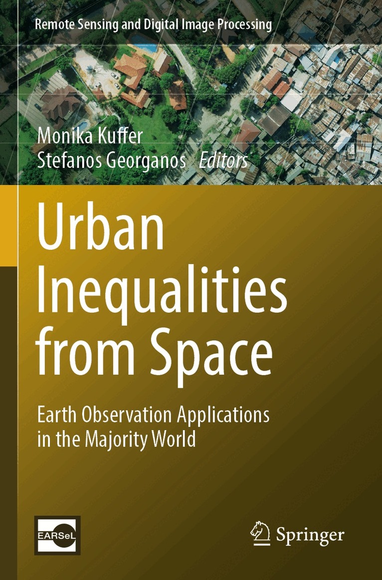
    Urban Inequalities from Space

    Earth Observation Applications in the Majority World

    AvMonika Kuffer,Stefanos Georganos

    Häftad, Engelska, 2025

    Del 26 i serien Remote Sensing and Digital Image Processing

    1 841 kr

    Beställningsvara. Skickas inom 10-15 vardagar. Fri frakt över 249 kr.

    Beskrivning

    Rapid transformation processes occur in the Majority World, where most of the global population is living (estimated around ¾ of the global population), often deprived of access to infrastructure, services, exposed to hazards and degrading environmental conditions. The continuous urbanization in many African, Asian and Latin American cities is coupled with rapid socio-economic and demographic changes in urban, peri-urban, and rural areas. These changes often increase socio-economic fragmentation and existing disparities. According to the United Nations, of the 36 fastest growing cities (with an average annual growth rate of more than 6%), seven are located in Africa, while 28 are found in Asia. On top of the socio-economic transformations, the increasing impact of climate change is expected to increase local vulnerabilities. However, data to understand these transformation processes and relationships are either unavailable, scarce or come with high degrees of uncertainty. Earth Observation information and methods have a great potential to fill data gaps, but they are not exploited to their full potential. Most urban remote sensing studies in the Majority World focus on the primary cities, while not much is known about secondary cities, urbanizing zones or peri-urban areas. Attempting to measure and map environmental and socio-economic phenomena through remote sensing is fundamentally different from extracting bio-physical parameters. In general, studies done by researchers of the Minority World do not sufficiently understand the information needs and capacity demands of the Majority World, especially related to user requirements and ethical perspectives. In this book, we aim to provide an outlook on how Remote Sensing can provide tailored solutions to information needs in urban and urbanizing areas of the Majority World, e.g., in terms socio-economic, environmental and demographic transformation processes. We will provide methodological and application pathways insupport of local and national information needs as well as in support of sustainable development, and specifically, supporting the monitoring of the 17 Sustainable Development Goals (SDGs). The book combines an overview of innovations in applications, methodologies and data use, showing the capacity of Earth Observation to fill global knowledge gaps.

    Produktinformation

    • Utgivningsdatum:2025-05-09
    • Mått:155 x 235 x 18 mm
    • Vikt:482 g
    • Format:Häftad
    • Språk:Engelska
    • Serie:Remote Sensing and Digital Image Processing
    • Antal sidor:302
    • Förlag:Springer International Publishing AG
    • ISBN:9783031491856

    Utforska kategorier

    • Samhälle och kultur inom Samhälle och politik
    • Sociala grupper och identitet inom Samhälle och politik
    • Sociologi inom Samhälle och politik

    Mer om författaren

    Monika Kuffer is an Associate Professor at the Faculty ITC (University of Twente, NL). Her research focuses on SDGs, poverty (deprivation), environment using Earth Observation, GIS, and AI. She (co)leads research projects on deprivation, e.g., IDEAtlas, SLUMAP, ONEKANA, ACCOUNT, IDEAMAPS. She is the Dutch representative of EARSeL (chair Developing Countries), EO Toolkit and  JURSE Steering Committee.Stefanos Georganos is an Associate Professor at Karlstad University. He does research in remote sensing, spatial epidemiology, and machine learning. He is interested in the use of geo-information to help address the UN Sustainable Development Goals. He is the Secretary-General of the European Association of Remote Sensing Laboratories (EARSeL) and co-chairperson of its Group on Developing Countries.

    Innehållsförteckning

    • Chapter1. Introduction.- Part1: Global Analysis. chapter 2. Integration of remote and social sensing data reveals uneven quality of broadband connectivity across world cities.- Chapter3. Detecting inequalities from Earth Observation derived global societal variables.- Chapter4. The State of the Streets: Measurements of connectivity in the Atlas of Urban Expansion.- Chapter5. Urban and peri-urban? Investigation of the location of informal settlements using two databases.- Part2. Urban Deprivation. Chapter 6. Integration of Datasets Towards Slum Identification: Local Implementation of the IDEAMAPS Framework.- Chapter7. Putting the invisible on the map: Low-cost Earth Observation for mapping and characterizing deprived urban areas (‘slums’).- Chapter8. The Impact of Respondents' Background Towards Slum Conceptualisations and Transferability Measurement of Remote-Sensing Based Slum Detections. Case Study: Jakarta, Indonesia.- Chapter9.Part3: Temporal Analysis. Chapter10.Reconstructing 36 years of spatiotemporal dynamics of slums in Brazil by integrating EO and census data.- Chapter11. Assessing the impact of Addis Ababa’s successive urban policies on farmland loss, food insecurity and economic inequalities using earth observation data (1986 – 2022).- Part4. Socioeconomic Mapping and Ecosystem services. Chapter 12. A mixed method approach to estimate intra-urban distribution of GDP in conditions of data scarcity.- Chapter 13. Ecosystem Services from Space as Evaluation Metric of Human Well-being in Deprived Urban Areas of the Majority World.- Chapter14. Making Urban Slum Population Visible: Citizens and Satellites to reinforce slum censuses.