
Stefan Dech – författare
646 kr
Skickas
722 kr
Skickas inom 10-15 vardagar
824 kr
Läs direkt efter köp
The Mekong Basin in Southeast Asia is one of the largest international river basins in the world. Its abundant natural resources are shared by six riparian countries and provide the basis for the livelihoods of more than 75 million people. However, ongoing socio-economic growth and related anthropogenic interventions impact the region’s ecosystems, and there is an urgent need for the monitoring of the basin''s land surface dynamics. Remote sensing has evolved as a key tool for this task, allowing for up-to-date analyses and regular monitoring of environmental dynamics beyond physical or political boundaries and at various temporal and spatial scales. This book serves as a forum for remote-sensing scientists with an interest in the Mekong River Basin to present their recent basin-related works as well as applied case studies of the region. A broad range of sensors from high to medium resolution, and from multispectral to SAR systems, are applied, covering topics such as land cover/land use classification and comparison, time series analyses of climate variables, vegetation structure and vegetation productivity, as well as studies on flood mapping or water turbidity monitoring. This book was originally published as a special issue of the International Journal of Remote Sensing.

1 261 kr
Skickas inom 5-8 vardagar
2 354 kr
Läs direkt efter köp
This is a book about how ecologists can integrate remote sensing and GIS in their daily work. It will allow ecologists to get started with the application of remote sensing and to understand its potential and limitations. Using practical examples, the book covers all necessary steps from planning field campaigns to deriving ecologically relevant information through remote sensing and modelling of species distributions.
All practical examples in this book rely on OpenSource software and freely available data sets. Quantum GIS (QGIS) is introduced for basic GIS data handling, and in-depth spatial analytics and statistics are conducted with the software packages R and GRASS.
Readers will learn how to apply remote sensing within ecological research projects, how to approach spatial data sampling and how to interpret remote sensing derived products. The authors discuss a wide range of statistical analyses with regard to satellite data as well as specialised topics such as time-series analysis. Extended scripts on how to create professional looking maps and graphics are also provided.
This book is a valuable resource for students and scientists in the fields of conservation and ecology interested in learning how to get started in applying remote sensing in ecological research and conservation planning.
1 423 kr
Skickas inom 5-8 vardagar

595 kr
Skickas

589 kr
Läs direkt efter köp
This is a book about how ecologists can integrate remote sensing and GIS in their research. It will allow readers to get started with the application of remote sensing and to understand its potential and limitations. Using practical examples, the book covers all necessary steps from planning field campaigns to deriving ecologically relevant information through remote sensing and modelling of species distributions.
An Introduction to Spatial Data Analysis introduces spatial data handling using the open source software Quantum GIS (QGIS). In addition, readers will be guided through their first steps in the R programming language. The authors explain the fundamentals of spatial data handling and analysis, empowering the reader to turn data acquired in the field into actual spatial data. Readers will learn to process and analyse spatial data of different types and interpret the data and results. After finishing this book, readers will be able to address questions such as “What is the distance to the border of the protected area?”, “Which points are located close to a road?”, “Which fraction of land cover types exist in my study area?” using different software and techniques.
This book is for novice spatial data users and does not assume any prior knowledge of spatial data itself or practical experience working with such data sets. Readers will likely include student and professional ecologists, geographers and any environmental scientists or practitioners who need to collect, visualize and analyse spatial data.
The software used is the widely applied open source scientific programs QGIS and R. All scripts and data sets used in the book will be provided online at book.ecosens.org.
This book covers specific methods including:
what to consider before collecting in situ datahow to work with spatial data collected in situthe difference between raster and vector datahow to acquire further vector and raster datahow to create relevant environmental informationhow to combine and analyse in situ and remote sensing datahow to create useful maps for field work and presentationshow to use QGIS and R for spatial analysishow to develop analysis scripts
1 345 kr
Läs direkt efter köp
This is a book about how ecologists can integrate remote sensing and GIS in their research. It will allow readers to get started with the application of remote sensing and to understand its potential and limitations. Using practical examples, the book covers all necessary steps from planning field campaigns to deriving ecologically relevant information through remote sensing and modelling of species distributions.
An Introduction to Spatial Data Analysis introduces spatial data handling using the open source software Quantum GIS (QGIS). In addition, readers will be guided through their first steps in the R programming language. The authors explain the fundamentals of spatial data handling and analysis, empowering the reader to turn data acquired in the field into actual spatial data. Readers will learn to process and analyse spatial data of different types and interpret the data and results. After finishing this book, readers will be able to address questions such as “What is the distance to the border of the protected area?”, “Which points are located close to a road?”, “Which fraction of land cover types exist in my study area?” using different software and techniques.
This book is for novice spatial data users and does not assume any prior knowledge of spatial data itself or practical experience working with such data sets. Readers will likely include student and professional ecologists, geographers and any environmental scientists or practitioners who need to collect, visualize and analyse spatial data.
The software used is the widely applied open source scientific programs QGIS and R. All scripts and data sets used in the book will be provided online at book.ecosens.org.
This book covers specific methods including:
what to consider before collecting in situ datahow to work with spatial data collected in situthe difference between raster and vector datahow to acquire further vector and raster datahow to create relevant environmental informationhow to combine and analyse in situ and remote sensing datahow to create useful maps for field work and presentationshow to use QGIS and R for spatial analysishow to develop analysis scripts
1 832 kr
Skickas inom 10-15 vardagar
2 366 kr
Läs direkt efter köp
This volume comprises an outstanding variety of chapters on Earth Observation based time series analyses, undertaken to reveal past and current land surface dynamics for large areas. What exactly are time series of Earth Observation data? Which sensors are available to generate real time series? How can they be processed to reveal their valuable hidden information? Which challenges are encountered on the way and which pre-processing is needed? And last but not least: which processes can be observed? How are large regions of our planet changing over time and which dynamics and trends are visible? These and many other questions are answered within this book “Remote Sensing Time Series Analyses – Revealing Land Surface Dynamics”. Internationally renowned experts from Europe, the USA and China present their exciting findings based on the exploitation of satellite data archives from well-known sensors such as AVHRR, MODIS, Landsat, ENVISAT, ERS and METOP amongst others. Selected review and methods chapters provide a good overview over time series processing and the recent advances in the optical and radar domain. A fine selection of application chapters addresses multi-class land cover and land use change at national to continental scale, the derivation of patterns of vegetation phenology, biomass assessments, investigations on snow cover duration and recent dynamics, as well as urban sprawl observed over time.
1 832 kr
Skickas inom 10-15 vardagar
1 454 kr
Skickas inom 10-15 vardagar
1 385 kr
Läs direkt efter köp
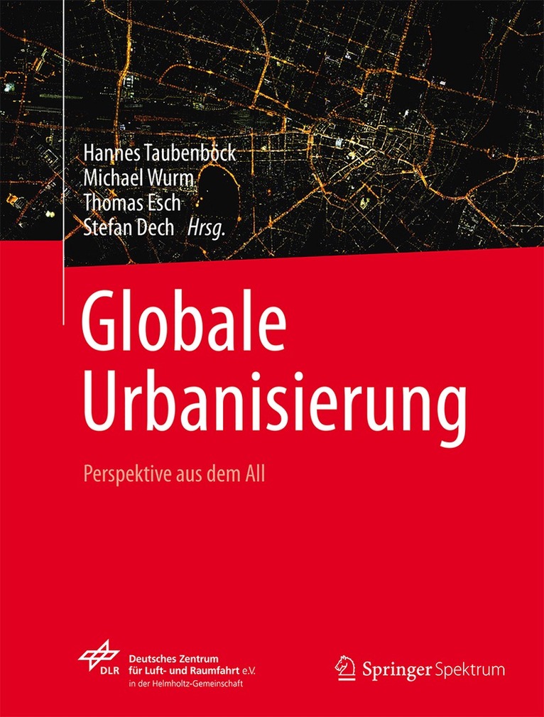
Auf dem ganzen Erdball drängen die Menschen vom Land in die Städte. Den prognostizierten globalen Bevölkerungszuwachs werden komplett die Städte auffangen. Mit dieser gewaltigen Wanderungsbewegung gehen dramatische Veränderungen der globalen Siedlungslandschaft einher: Neue Millionenstädte entstehen aus dem Nichts, Slums wuchern in jede noch so kleine städtische Freifläche, Megacities fressen sich unaufhaltsam ins Hinterland. Vorstädte erstrecken sich ins Unendliche, Städte verschmelzen miteinander und urbane Zentren wachsen in den Himmel. Stadtlandschaften entstehen in neuen Dimensionen, Strukturen und Mustern. Megaregionen mit mehr als 100 Millionen Einwohnern definieren eine neue urbane Geographie. Die globale Stadt ist dauerhaft im Wandel, dynamischer als jemals zuvor.
Erdbeobachtung aus dem All bietet einen einzigartigen Blick auf die Siedlungslandschaften unseres Planeten. Exemplarisch visualisiert das Cover leuchtende Straßenzüge bei Nacht und macht damit die pulsierenden Lebensadern einer Stadt sichtbar. Bisher hatte die Forschung im fernerkundlichen Bereich jedoch überwiegend methodische Entwicklungen im Fokus. Dieses Buch setzt die Ergebnisse der Erdbeobachtung gezielt ein, um raumwissenschaftliche Erkenntnisse zu Fragestellungen im Kontext globaler Urbanisierung zu erlangen. Dabei präsentieren die Autoren Studien zu Städten und Regionen auf allen fünf Kontinenten der Erde, zu großen und kleinen Städten, zu geplanten und ungeplanten, zu alten und neuen, zu armen und reichen, zu erfolgreichen oder gefährdeten. Es zeichnet ein umfassendes Bild globaler Urbanisierungsprozesse und ihrer räumlichen Auswirkungen. Die gebaute Stadt wird ebenso betrachtet und analysiert wie ihre Auswirkungen auf den sie umgebenden Raum und die Rückkopplung mit den in den Städten lebenden Menschen.
Urbanisierung ist mehr als die Summe ihrer demographischen, funktionalen oder morphologischen Aspekte. Im Verbund mit anderen wissenschaftlichen Disziplinen eröffnet die Fernerkundung neuartige Perspektiven und Erkenntnisse zu dieser komplexen Thematik.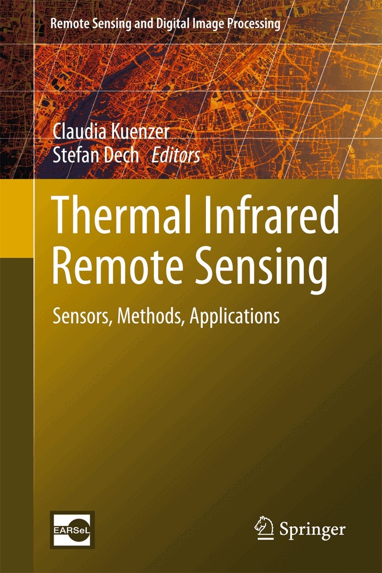
2 476 kr
Skickas inom 10-15 vardagar
2 294 kr
Läs direkt efter köp
This book provides a comprehensive overview of the state of the art in the field of thermal infrared remote sensing. Temperature is one of the most important physical environmental variables monitored by earth observing remote sensing systems. Temperature ranges define the boundaries of habitats on our planet. Thermal hazards endanger our resources and well-being. In this book renowned international experts have contributed chapters on currently available thermal sensors as well as innovative plans for future missions. Further chapters discuss the underlying physics and image processing techniques for analyzing thermal data. Ground-breaking chapters on applications present a wide variety of case studies leading to a deepened understanding of land and sea surface temperature dynamics, urban heat island effects, forest fires, volcanic eruption precursors, underground coal fires, geothermal systems, soil moisture variability, and temperature-based mineral discrimination. ‘Thermal Infrared Remote Sensing: Sensors, Methods, Applications’ is unique because of the large field it spans, the potentials it reveals, and the detail it provides.
This book is an indispensable volume for scientists, lecturers, and decision makers interested in thermal infrared technology, methods, and applications.
1 779 kr
Skickas inom 10-15 vardagar
250 kr
Tillfälligt slut