• Fri frakt över 249 kr
  • •
  • Snabba leveranser
  • •
  • Billiga böcker
Kundservice

Du är på sajten för privatpersoner.

Företag, bibliotek eller offentlig verksamhet?

Du handlar på classic.bokus.com, där alla dina funktioner finns intakta.
Till classic.bokus.com
Bokus logotyp. Gå till startsidan.
  • Erbjudanden
  • Nyheter
  • Student
  • Topplistor
  • Barn & ungdom
  • Bokus Play
  • E-böcker
  • Pocketböcker
  • Spel & pussel

10% rabatt på allt med kod NYSTART10 →

Sidfot

Mina sidor

    Hjälp

    • Kundservice
    • Vanliga frågor och svar
    • Frakt och leverans
    • Retur vid ångerrätt
    • Reklamera vara
    • Betalning
    • Köpvillkor
    • Allmänna villkor
    • Information om webbplatsens tillgänglighet

    Om Bokus

    • Om oss
    • Pressrum
    • För studenter
    • För företag
    • För bibliotek och offentlig verksamhet
    • För leverantörer
    • Hållbarhet

    Populärt

    • Aktuella erbjudanden
    • Presentkort
    • Studentlitteratur
    • Nya böcker
    • Topplistor
    • Signerade böcker
    • Engelska böcker

    Inspiration

    • Boktips
    • BookTok
    • Populära bokserier
    • Barnbokskaraktärer
    • Populära författare
    Logotyp för Bokus
    Följ oss på Facebook (extern länk)Följ oss på Instagram (extern länk)Följ oss på YouTube (extern länk)Följ oss på TikTok (extern länk)
    bokus @ CookiesAnpassa cookiesIntegritetspolicyKöpvillkor
    Till Citymail hemsida (extern länk)Till Budbee hemsida (extern länk)Till Postnord hemsida (extern länk)Till Schenker hemsida (extern länk)Till Early Bird hemsida (extern länk)Till Walleys hemsida (extern länk)
    1. Naturvetenskap och teknik
    2. Geovetenskap
    3. Geografi

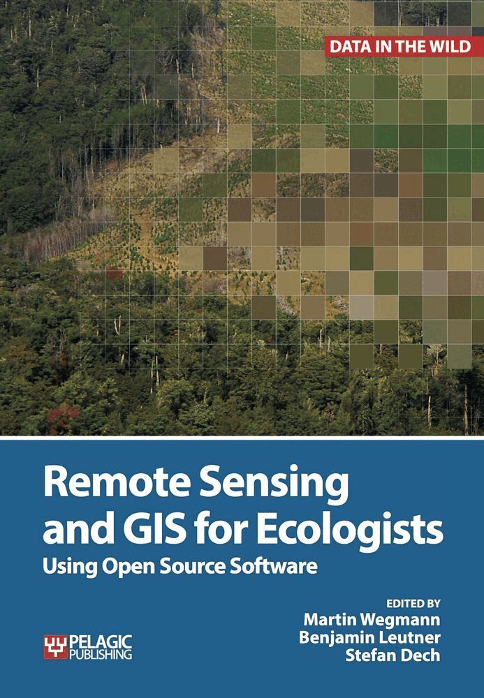
    Remote Sensing and GIS for Ecologists

    Using Open Source Software

    AvMartin Wegmann,Benjamin Leutner

    Häftad, Engelska, 2016

    Del i serien Data in the Wild

    644 kr

    Skickas . Fri frakt över 249 kr.

    Beskrivning

    This is a book about how ecologists can integrate remote sensing and GIS in their daily work. It will allow ecologists to get started with the application of remote sensing and to understand its potential and limitations. Using practical examples, the book covers all necessary steps from planning field campaigns to deriving ecologically relevant information through remote sensing and modelling of species distributions.All practical examples in this book rely on OpenSource software and freely available data sets. Quantum GIS (QGIS) is introduced for basic GIS data handling, and in-depth spatial analytics and statistics are conducted with the software packages R and GRASS.Readers will learn how to apply remote sensing within ecological research projects, how to approach spatial data sampling and how to interpret remote sensing derived products. The authors discuss a wide range of statistical analyses with regard to satellite data as well as specialised topics such as time-series analysis. Extended scripts on how to create professional looking maps and graphics are also provided.This book is a valuable resource for students and scientists in the fields of conservation and ecology interested in learning how to get started in applying remote sensing in ecological research and conservation planning.

    Produktinformation

    • Utgivningsdatum:2016-02-01
    • Mått:170 x 244 x 19 mm
    • Vikt:780 g
    • Format:Häftad
    • Språk:Engelska
    • Serie:Data in the Wild
    • Antal sidor:352
    • Förlag:Pelagic Publishing
    • ISBN:9781784270223

    Utforska kategorier

    • Geografi inom Naturvetenskap och teknik

    Mer om författaren

    Martin Wegmann has a PhD in remote sensing focusing on time-series analysis on land cover change and fragmentation in Africa. He is an assistant professor at the Global Change Ecology Msc program at the University of Würzburg, Germany and runs courses in remote sensing analysis for biodiversity and conservation.Benjamin Leutner is a research assistant at the department of remote sensing at the University of Würzburg. He has extensive experience in geo-spatial analysis of remote sensing data using Open Source software. Stefan Dech is director of the German Remote Sensing Data Center (DFD) since 1998, and current spokesman of the Earth Observation Center (EOC) at the German Aerospace Center (DLR). Since 2001 he has held the Chair for Remote Sensing at the Institute of Geography and Geology of the University of Würzburg.

    Recensioner i media

    Satellite remote sensing and GIS were once the preserves of a small number of well-financed groups, but the field has been democratised by open-source software. QGIS and R are covered by this textbook aimed at a practitioners who want to know how to obtain, process and analyse remotely sensed data. It provides excellent guidance on designing studies and recognising both the potential and limitations of remotely sensed data. Later chapters cover common ecological applications, including distribution modelling and land cover pattern analysis. The book is printed in high quality with numerous colour figures. It would make an excellent companion to a workshop.

    Innehållsförteckning

    • Introduction 1 Spatial Data and Software 2 Introduction to Remote Sensing and GIS 3 Where to Obtain Spatial Data?4 Spatial Data Analysis for Ecologists: First Steps5 Pre-Processing Remote Sensing Data6 Field Data for Remote Sensing Data Analysis7 From Spectral to Ecological Information8 Land Cover or Image Classification Approaches9 Land Cover Change or Change Detection 10 Continuous Land Cover Information 11 Time Series Analysis12 Spatial Land Cover Pattern Analysis13 Modelling Species Distributions 14 Introduction to the added value of Animal Movement Analysis and Remote Sensing Outlook and Acknowledgements Index