
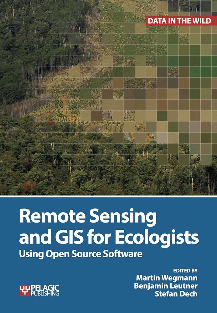
Remote Sensing and GIS for Ecologists
Martin Wegmann, Benjamin Leutner, Stefan Dech
Häftad, 2016
651 kr
AvStefan Dech,Jakob Schwalb-Willmann
593 kr
Läs direkt i Bokus Reader – eller ladda ned till din enhet
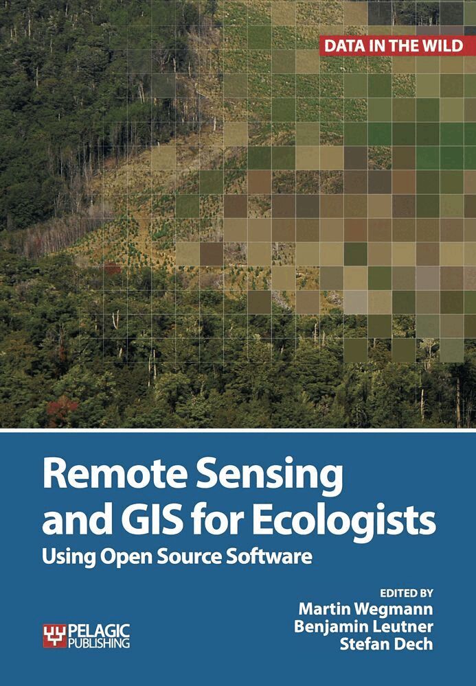
This is a book about how ecologists can integrate remote sensing and GIS in their research. It will allow readers to get started with the application of remote sensing and to understand its potential and limitations. Using practical examples, the book covers all necessary steps from planning field campaigns to deriving ecologically relevant information through remote sensing and modelling of species distributions.
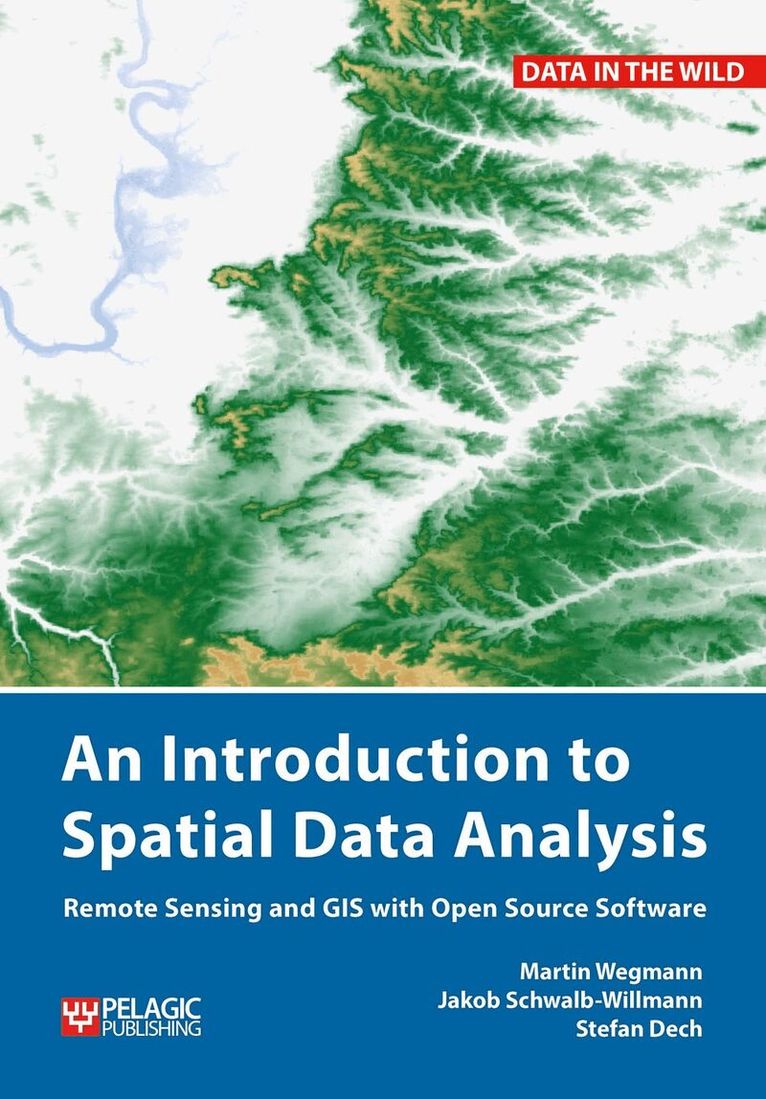
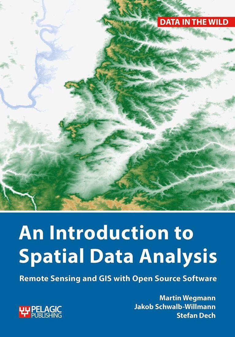
An Introduction to Spatial Data Analysis introduces spatial data handling using the open source software Quantum GIS (QGIS). In addition, readers will be guided through their first steps in the R programming language. The authors explain the fundamentals of spatial data handling and analysis, empowering the reader to turn data acquired in the field into actual spatial data. Readers will learn to process and analyse spatial data of different types and interpret the data and results. After finishing this book, readers will be able to address questions such as “What is the distance to the border of the protected area?”, “Which points are located close to a road?”, “Which fraction of land cover types exist in my study area?” using different software and techniques.
This book is for novice spatial data users and does not assume any prior knowledge of spatial data itself or practical experience working with such data sets. Readers will likely include student and professional ecologists, geographers and any environmental scientists or practitioners who need to collect, visualize and analyse spatial data.
The software used is the widely applied open source scientific programs QGIS and R. All scripts and data sets used in the book will be provided online at book.ecosens.org.
This book covers specific methods including:
Martin Wegmann, Benjamin Leutner, Stefan Dech
Häftad, 2016
651 kr
Martin Wegmann, Benjamin Leutner, Stefan Dech
Inbunden, 2016
1 269 kr
Martin Wegmann, Jakob Schwalb-Willmann, Stefan Dech
Inbunden, 2020
1 419 kr
Martin Wegmann, Jakob Schwalb-Willmann, Stefan Dech
Häftad, 2020
594 kr
Martin Wegmann, Benjamin Leutner, Stefan Dech
Häftad, 2016
651 kr
Stefan Dech, Jakob Schwalb-Willmann, Martin Wegmann
1 342 kr
Martin Wegmann, Jakob Schwalb-Willmann, Stefan Dech
Inbunden, 2020
1 419 kr
Martin Wegmann, Jakob Schwalb-Willmann, Stefan Dech
Häftad, 2020
594 kr
Martin Wegmann, Benjamin Leutner, Stefan Dech
Inbunden, 2016
1 269 kr
AvStefan Dech,Jakob Schwalb-Willmann
593 kr
Läs direkt i Bokus Reader – eller ladda ned till din enhet
This is a book about how ecologists can integrate remote sensing and GIS in their research. It will allow readers to get started with the application of remote sensing and to understand its potential and limitations. Using practical examples, the book covers all necessary steps from planning field campaigns to deriving ecologically relevant information through remote sensing and modelling of species distributions.
An Introduction to Spatial Data Analysis introduces spatial data handling using the open source software Quantum GIS (QGIS). In addition, readers will be guided through their first steps in the R programming language. The authors explain the fundamentals of spatial data handling and analysis, empowering the reader to turn data acquired in the field into actual spatial data. Readers will learn to process and analyse spatial data of different types and interpret the data and results. After finishing this book, readers will be able to address questions such as “What is the distance to the border of the protected area?”, “Which points are located close to a road?”, “Which fraction of land cover types exist in my study area?” using different software and techniques.
This book is for novice spatial data users and does not assume any prior knowledge of spatial data itself or practical experience working with such data sets. Readers will likely include student and professional ecologists, geographers and any environmental scientists or practitioners who need to collect, visualize and analyse spatial data.
The software used is the widely applied open source scientific programs QGIS and R. All scripts and data sets used in the book will be provided online at book.ecosens.org.
This book covers specific methods including:
Martin Wegmann, Benjamin Leutner, Stefan Dech
Häftad, 2016
651 kr
Martin Wegmann, Benjamin Leutner, Stefan Dech
Inbunden, 2016
1 269 kr
Martin Wegmann, Jakob Schwalb-Willmann, Stefan Dech
Inbunden, 2020
1 419 kr
Martin Wegmann, Jakob Schwalb-Willmann, Stefan Dech
Häftad, 2020
594 kr
Martin Wegmann, Benjamin Leutner, Stefan Dech
Häftad, 2016
651 kr
Stefan Dech, Jakob Schwalb-Willmann, Martin Wegmann
1 342 kr
Martin Wegmann, Jakob Schwalb-Willmann, Stefan Dech
Inbunden, 2020
1 419 kr
Martin Wegmann, Jakob Schwalb-Willmann, Stefan Dech
Häftad, 2020
594 kr
Martin Wegmann, Benjamin Leutner, Stefan Dech
Inbunden, 2016
1 269 kr