
Joseph J. Kerski – författare
838 kr
Skickas inom 10-15 vardagar

891 kr
Läs direkt efter köp
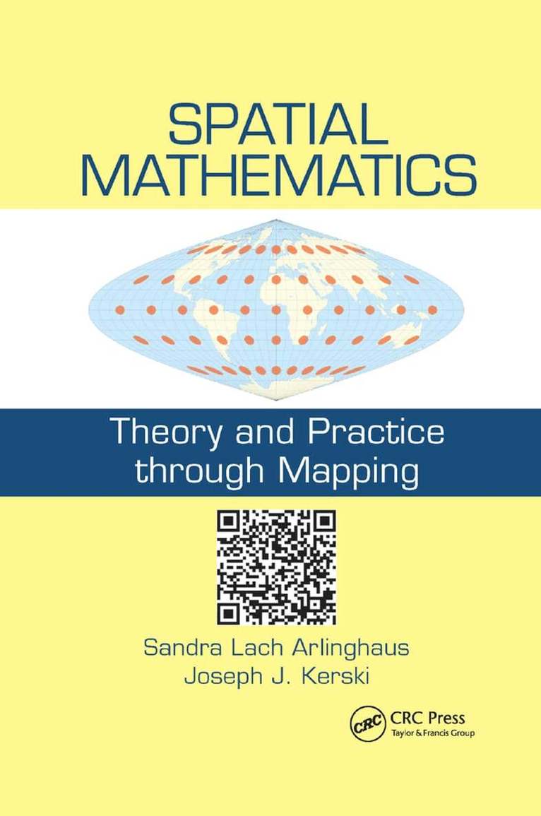
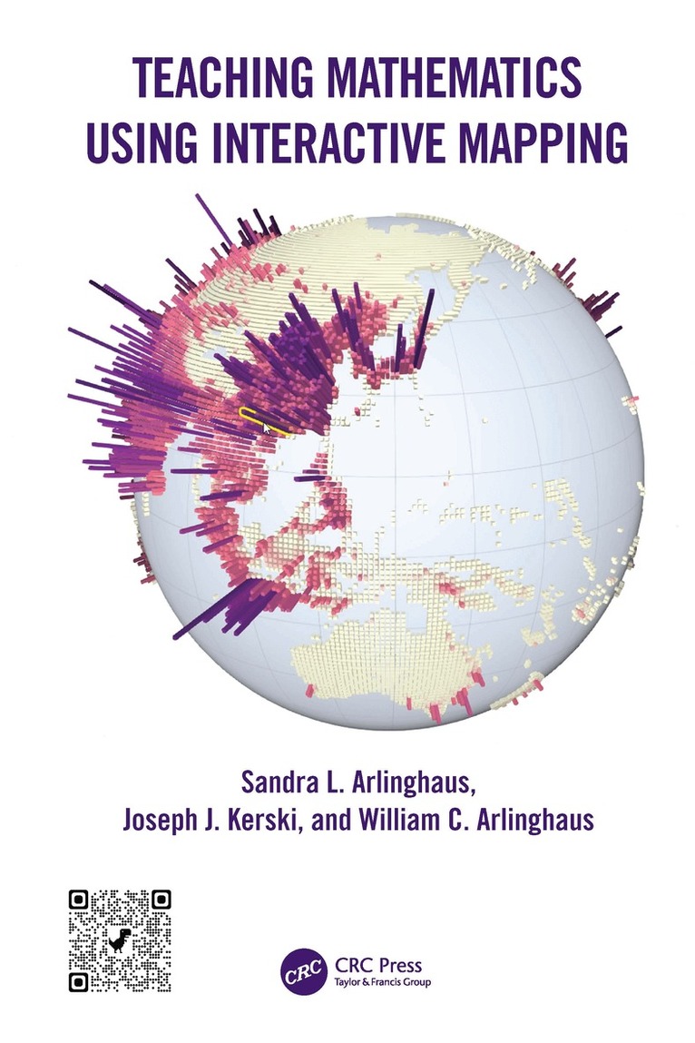
Teaching Mathematics Using Interactive Mapping offers novel ways to learn basic math topics such as simple relational measures or measuring hierarchies through customized interactive mapping activities. These activities focus on interactive web-based Geographic Information System (GIS) and are relevant to today’s problems and challenges. Written in a guided, hands-on, understandable manner, all activities are designed to build practical and problem-solving skills that rest on mathematical principles and move students from thinking about maps as references that focus solely on "where is" something, to analytical tools, focusing primarily on the "whys of where." Success with this transition through interaction permits most readers to master mathematical concepts and GIS tools.
FEATURES
Offers custom-designed geographical activities to fit with specific mathematical topics Helps students become comfortable using mathematics in a variety of professions Provides an innovative, engaging, and practical set of activities to ease readers through typically difficult, often elementary, mathematical topics: fractions, the distributive law, and much more Uses web-based GIS maps, apps, and other tools and data that can be accessed on any device, anywhere, at any time, requiring no prior GIS background Written by experienced teachers and researchers with lifelong experience in teaching mathematics, geography, and spatial analysis Features an accompanying Solution Guide, available on the book''s product page, that is beneficial for instructors, students, and other readers as an aid to gauging progress.This textbook applies to undergraduate and graduate students in universities and community colleges including those in basic mathematics courses, as well as upper-level undergraduate and graduate students taking courses in geographic information systems, remote sensing, photogrammetry, geography, geodesy, information science, engineering, and geology. Professionals interested in learning techniques and technologies for collecting, analyzing, managing, processing, and visualizing geospatial datasets will also benefit from this book as they refresh their knowledge in mathematics.

891 kr
Läs direkt efter köp
Teaching Mathematics Using Interactive Mapping offers novel ways to learn basic math topics such as simple relational measures or measuring hierarchies through customized interactive mapping activities. These activities focus on interactive web-based Geographic Information System (GIS) and are relevant to today’s problems and challenges. Written in a guided, hands-on, understandable manner, all activities are designed to build practical and problem-solving skills that rest on mathematical principles and move students from thinking about maps as references that focus solely on "where is" something, to analytical tools, focusing primarily on the "whys of where." Success with this transition through interaction permits most readers to master mathematical concepts and GIS tools.
FEATURES
Offers custom-designed geographical activities to fit with specific mathematical topics Helps students become comfortable using mathematics in a variety of professions Provides an innovative, engaging, and practical set of activities to ease readers through typically difficult, often elementary, mathematical topics: fractions, the distributive law, and much more Uses web-based GIS maps, apps, and other tools and data that can be accessed on any device, anywhere, at any time, requiring no prior GIS background Written by experienced teachers and researchers with lifelong experience in teaching mathematics, geography, and spatial analysis Features an accompanying Solution Guide, available on the book''s product page, that is beneficial for instructors, students, and other readers as an aid to gauging progress.This textbook applies to undergraduate and graduate students in universities and community colleges including those in basic mathematics courses, as well as upper-level undergraduate and graduate students taking courses in geographic information systems, remote sensing, photogrammetry, geography, geodesy, information science, engineering, and geology. Professionals interested in learning techniques and technologies for collecting, analyzing, managing, processing, and visualizing geospatial datasets will also benefit from this book as they refresh their knowledge in mathematics.
1 911 kr
Skickas inom 10-15 vardagar
755 kr
Skickas inom 10-15 vardagar
992 kr
Läs direkt efter köp
2 065 kr
Skickas inom 10-15 vardagar
768 kr
Skickas inom 10-15 vardagar

908 kr
Läs direkt efter köp
Spatial Thinking in Environmental Contexts: Maps, Archives, and Timelines cultivates the spatial thinking "habit of mind" as a critical geographical view of how the world works, including how environmental systems function, and how we can approach and solve environmental problems using maps, archives, and timelines. The work explains why spatial thinking matters as it helps readers to integrate a variety of methods to describe and analyze spatial/temporal events and phenomena in disparate environmental contexts. It weaves together maps, GIS, timelines, and storytelling as important strategies in examining concepts and procedures in analyzing real-world data and relationships. The work thus adds significant value to qualitative and quantitative research in environmental (and related) sciences.
Features
Written by internationally renowned experts known for taking complex ideas and finding accessible ways to more broadly understand and communicate them.
Includes real-world studies explaining the merging of disparate data in a sensible manner, understandable across several disciplines.
Unique approach to spatial thinking involving animated maps, 3D maps, GEOMATs, and story maps to integrate maps, archives, and timelines—first across a single environmental example and then through varied examples.
Merges spatial and temporal views on a broad range of environmental issues from traditional environmental topics to more unusual ones involving urban studies, medicine, municipal/governmental application, and citizen-scientist topics.
Provides easy to follow step-by-step instructions to complete tasks; no prior experience in data processing is needed.

2 065 kr
Skickas inom 10-15 vardagar
992 kr
Läs direkt efter köp
282 kr
Läs direkt efter köp
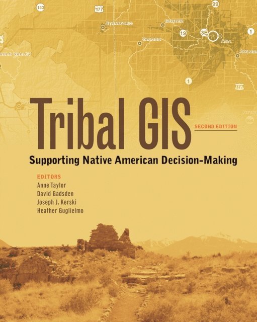
Supporting tribes with an all new chapter on ArcGIS Pro, written by tribal leaders who successfully use GIS.
In Tribal GIS: Supporting Native American Decision-Making, tribal leaders tell their stories about implementing and using geographic information systems (GIS) to address their unique challenges as sovereign Nations. This book covers applications in natural resources and the environment, transportation, cultural and historical preservation, economic development, health, education, public safety, and agriculture. Showing how tribal governments responsible for the stewardship of their land and resources and the health and well-being of their People use enterprise GIS to make decisions, Tribal GIS: Supporting Native American Decision-Making supports tribes new to GIS and those with GIS experience.
291 kr
Skickas inom 5-8 vardagar
284 kr
Läs direkt efter köp
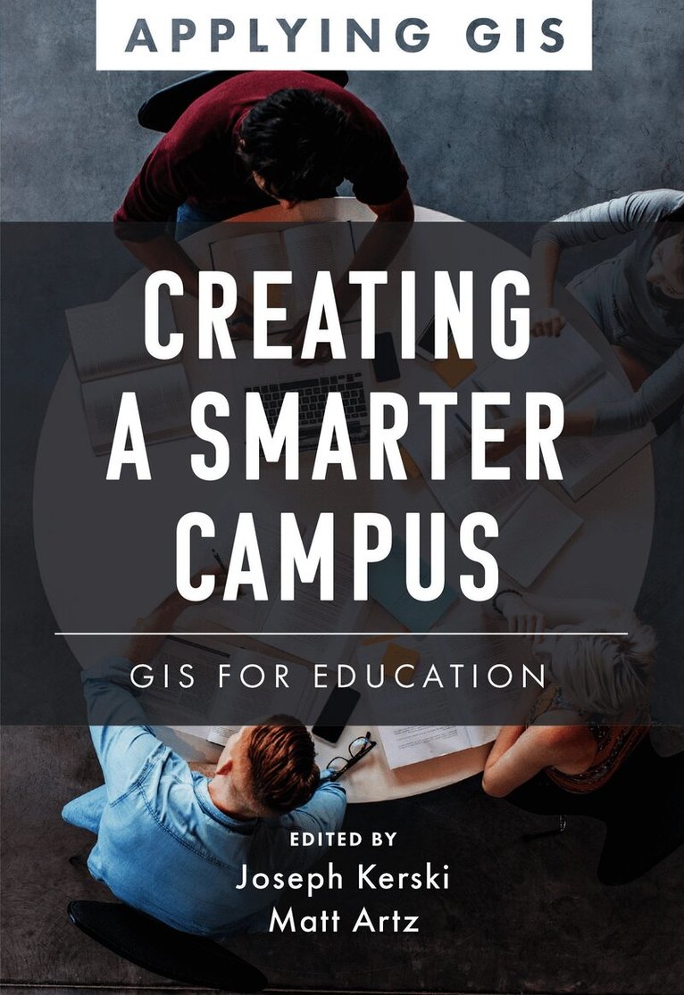
Discover how educators, researchers, IT support, and administrators can transform education inside and out, now and for the future.
Geographic information system (GIS) technology offers a powerful decision-making tool in various aspects of education. It gives educators a new opportunity to teach problem-solving to a tech-savvy generation of learners. Researchers can use GIS for data visualization and integration, and IT professionals can improve the offerings of their cloud-based platforms. GIS offers administrators a way to visualize and manage everything from mapping campus buildings to planning where and when to close schools and open new ones.
Creating a Smarter Campus: GIS for Education explores a collection of real-life stories about education organizations doing just that with GIS. Through their ideas, plans, and goals, they help readers understand how to use GIS and integrate spatial reasoning into teaching, research, and management. A “next steps” section provides ideas, strategies, tools, and actions to help you jump-start using GIS for education. A collection of online resources, including additional stories, videos, new ideas and concepts, and downloadable tools and content, complements this book.
Edited by Joseph Kerski, education manager at Esri, and Matt Artz, an Esri content strategist.
1 191 kr
Skickas inom 10-15 vardagar
1 083 kr
Skickas inom 10-15 vardagar
1 416 kr
Läs direkt efter köp
This, the first publication to collate a broad international perspective on the pedagogical value of GIS technology in classrooms, offers an unprecedented range of expert views on the subject. Geographic Information Systems (GISs) are now ubiquitous and relatively inexpensive. They have revolutionized the way people explore and understand the world around them. The capability they confer allows us to capture, manage, analyze, and display geographic data in ways that were undreamt of a generation ago. GIS has enabled users to make decisions and solve problems as diverse as designing bus routes, locating new businesses, responding to emergencies, and researching climate change. GIS is also having a major impact in the classroom. Students and teachers around the world are using this significant emerging technology in the secondary school classroom to study social and scientific concepts and processes, to broaden their technical skills, and to engage in problem solving and decision making about local and global issues.International Perspectives on Teaching and Learning with GIS in Secondary Schools brings together authors from 34 countries who profile the current status of GIS in secondary school teaching and learning in their country. Each chapter includes a summary of the country’s educational context, a case study illustrating how GIS is used in secondary schooling, and an assessment of the opportunities and challenges in teaching and learning with GIS now and in the future. The book demonstrates that GIS is not only a technological tool to be used in the classroom, but also a catalyst for motivation, encouragement, and cooperation in understanding and solving global problems.
The most up to date and extensive survey of GIS in the secondary education landscape, covering both principles and practice.Professor David Maguire, Pro-Vice-Chancellor, Birmingham City University, UK
International Perspectives on Teaching andLearning With GIS in Secondary Schools is a highly relevant, critically important, reflective contribution to the literature, providing strong arguments supporting the inclusion for spatial studies for all in secondary school education. Karl Donert, President, EUROGEO
This is an invaluable and inspirational examination of innovation in geospatial technologies in secondary schools around the world. Each chapter contains practical models for how to integrate powerful tools for spatial analysis into a range of subjects. It will be useful to classroom teachers and administrators seeking pathways to implementation and teacher educators considering how to prepare the next generation to use geospatial technologies.Sarah Witham Bednarz, Department of Geography, Texas A&M University, College Station, TX, USA
1 083 kr
Skickas inom 10-15 vardagar
468 kr
Läs direkt efter köp

425 kr
Skickas inom 10-15 vardagar