• Fri frakt över 249 kr
  • •
  • Snabba leveranser
  • •
  • Billiga böcker
Kundservice

Du är på sajten för privatpersoner.

Företag, bibliotek eller offentlig verksamhet?

Du handlar på classic.bokus.com, där alla dina funktioner finns intakta.
Till classic.bokus.com
Bokus logotyp. Gå till startsidan.
  • Erbjudanden
  • Nyheter
  • Student
  • Topplistor
  • Barn & ungdom
  • Bokus Play
  • E-böcker
  • Pocketböcker
  • Spel & pussel

10% rabatt på allt med kod: NYSTART10 →

Sidfot

Mina sidor

    Hjälp

    • Kundservice
    • Vanliga frågor och svar
    • Frakt och leverans
    • Retur vid ångerrätt
    • Reklamera vara
    • Betalning
    • Köpvillkor
    • Allmänna villkor
    • Information om webbplatsens tillgänglighet

    Om Bokus

    • Om oss
    • Pressrum
    • För studenter
    • För företag
    • För bibliotek och offentlig verksamhet
    • För leverantörer
    • Hållbarhet

    Populärt

    • Aktuella erbjudanden
    • Presentkort
    • Studentlitteratur
    • Nya böcker
    • Topplistor
    • Signerade böcker
    • Engelska böcker

    Inspiration

    • Boktips
    • BookTok
    • Populära bokserier
    • Barnbokskaraktärer
    • Populära författare
    Logotyp för Bokus
    Följ oss på Facebook (extern länk)Följ oss på Instagram (extern länk)Följ oss på YouTube (extern länk)Följ oss på TikTok (extern länk)
    bokus @ CookiesAnpassa cookiesIntegritetspolicyKöpvillkor
    Till Citymail hemsida (extern länk)Till Budbee hemsida (extern länk)Till Postnord hemsida (extern länk)Till Schenker hemsida (extern länk)Till Early Bird hemsida (extern länk)Till Walleys hemsida (extern länk)
    1. Naturvetenskap och teknik
    2. Geovetenskap
    3. Geografi

    Spatial Thinking in Environmental Contexts

    Maps, Archives, and Timelines

    AvSandra Lach Arlinghaus,Joseph J. Kerski

    Häftad, Engelska, 2023

    765 kr

    Beställningsvara. Skickas inom 10-15 vardagar. Fri frakt över 249 kr.

    Beskrivning

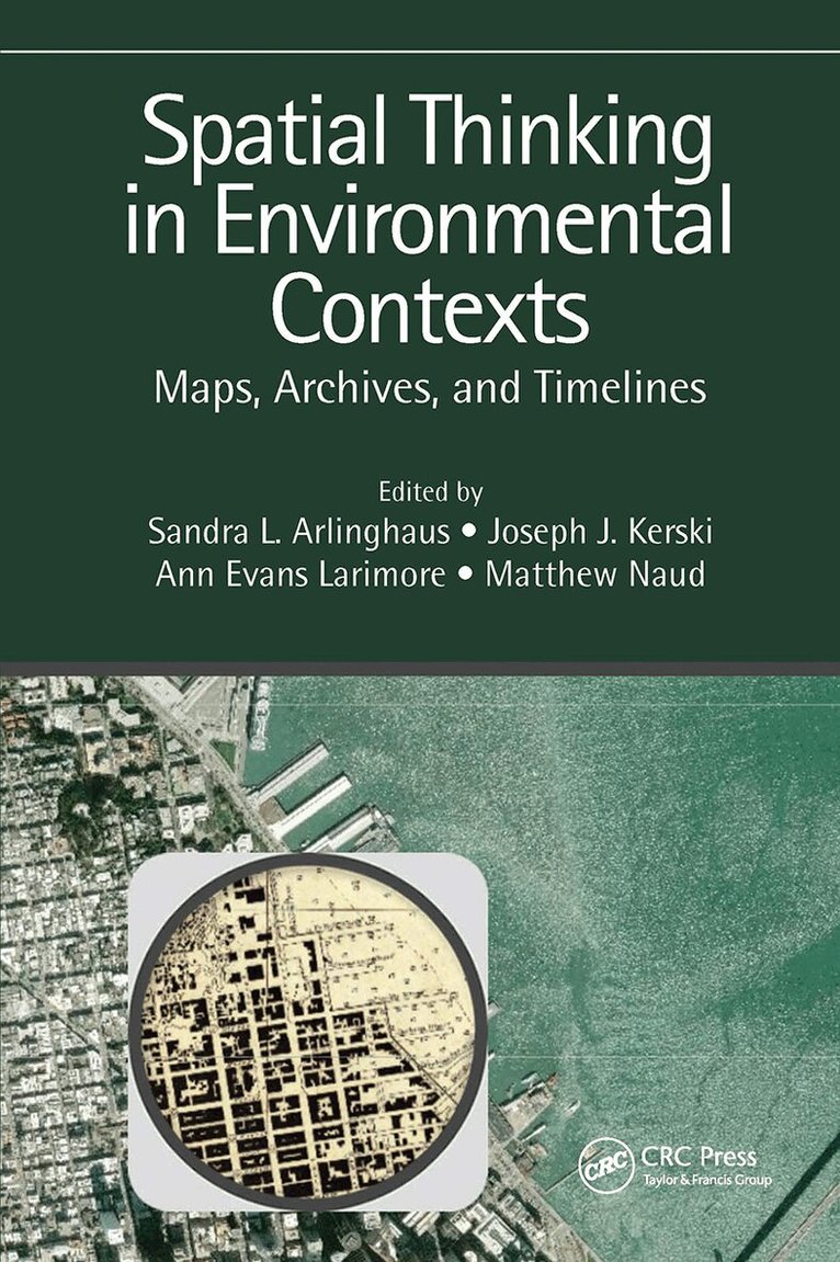
    Spatial Thinking in Environmental Contexts: Maps, Archives, and Timelines cultivates the spatial thinking "habit of mind" as a critical geographical view of how the world works, including how environmental systems function, and how we can approach and solve environmental problems using maps, archives, and timelines. The work explains why spatial thinking matters as it helps readers to integrate a variety of methods to describe and analyze spatial/temporal events and phenomena in disparate environmental contexts. It weaves together maps, GIS, timelines, and storytelling as important strategies in examining concepts and procedures in analyzing real-world data and relationships. The work thus adds significant value to qualitative and quantitative research in environmental (and related) sciences.Features Written by internationally renowned experts known for taking complex ideas and finding accessible ways to more broadly understand and communicate them. Includes real-world studies explaining the merging of disparate data in a sensible manner, understandable across several disciplines. Unique approach to spatial thinking involving animated maps, 3D maps, GEOMATs, and story maps to integrate maps, archives, and timelines—first across a single environmental example and then through varied examples. Merges spatial and temporal views on a broad range of environmental issues from traditional environmental topics to more unusual ones involving urban studies, medicine, municipal/governmental application, and citizen-scientist topics. Provides easy to follow step-by-step instructions to complete tasks; no prior experience in data processing is needed.

    Produktinformation

    • Utgivningsdatum:2023-05-31
    • Mått:156 x 234 x undefined mm
    • Vikt:421 g
    • Format:Häftad
    • Språk:Engelska
    • Antal sidor:248
    • Förlag:Taylor & Francis Ltd
    • ISBN:9781138747319

    Utforska kategorier

    • Geografi inom Naturvetenskap och teknik
    • Hydrologi inom Naturvetenskap och teknik

    Mer om författaren

    Sandra L. Arlinghaus holds a Ph.D. in theoretical geography (The University of Michigan, Ann Arbor) and other degrees and advanced education in mathematics (from Vassar College, the University of Chicago, the University of Toronto, and Wayne State University). She holds an M.A. in Geography from Wayne State University, an A. B. in Mathematics from Vassar College, and a High School Diploma from the University of Chicago, Laboratory Schools. She has published over 300 books and articles, many in peer-reviewed publications. She continues innovative approaches in publication as creator of Solstice: An Electronic Journal of Geography and Mathematics, perhaps the world’s first online peer-reviewed publication (1990-), and as co-creator with William C. Arlinghaus and Frank Harary of John Wiley & Sons first eBook in 2002. Dr. Arlinghaus is the co-author of CRC Press' book Spatial Mathematics: Theory and Practice through Mapping, published in 2013

    Recensioner i media

    "I very much like the juxtaposition of theory and practice, which proves that these are not opposites but that "there is nothing more applied than a good theory". It mirrors my own approach, where I introduce beginning undergraduate GIS students to the theory of mathematical spaces, from logic to sets, to relations, to functions, etc. in each case becoming more restrictive but also specific...This book improves on my approach by immediately providing easy examples that do not require GIS expertise...The preface is strong and convincing."~Jochen Albrecht, Hunter College, City University of New York

    Innehållsförteckning

    • Section I: Introductory Matter 1. Spatial Thinking: Maps, the New Paradigm 2. Spatial Thinking: Archives and Timelines 3. Spatial Thinking: Book Structure Section II: Animaps, 1990s 4. Animaps: Varroa Honeybee Mite 5. Animap Timelines: The Space-Time Pattern of Cutaneous Leishmaniasis, Syria 1990–1997 6. Animap Abstraction: The Clickable Map, Virtual Reality, and More Section III: 3D Maps: Georeferencing, Turn of the Millennium 7. 3D Maps: Varroa Honey Bee Mite and More 8. 3D Charts: Greater London, 1901–2001: Georeferencing of Population Data and Rank–Size Patterns 9. 3D Charts: Air Pollution Changes in Metropolitan Detroit, 1988–2004 10. 3D Tree Inventory: Geosocial Networking: An Ann Arbor Before-and-After Study 11. 3D Georeferencing: Downtown Ann Arbor Creek Images, Revisited Section IV: GEO MATs, 2000s 12. Varroa GEOMAT: Honeybee Mite 13. Groundwater GEOMAT: Google Earth Applications in a Community Information System 14. Pacemaker GEOMAT: My Heart Your Heart: Organization of Efforts Linked by QR Codes 15. Detroit GEOMAT: Chene Street History Study: Scale Transformation, Layering, and Nesting 16. GEOMAT Guide: Summary: Study the Past, Understand the Present, Prepare for the Future Section V: Story Maps, 2010s 17. Types of Story Maps 18. Varroa Story Map: All Together Now 19. Tree Canopy Story Map: Health Impact Assessments Inform Community Tree Planting and Climate Adaptation Strategies 20. Web Maps as Story Telling 21. In Closing: Spatial Thinking, from Evolution to Revolution