Inbunden, Engelska, 2023
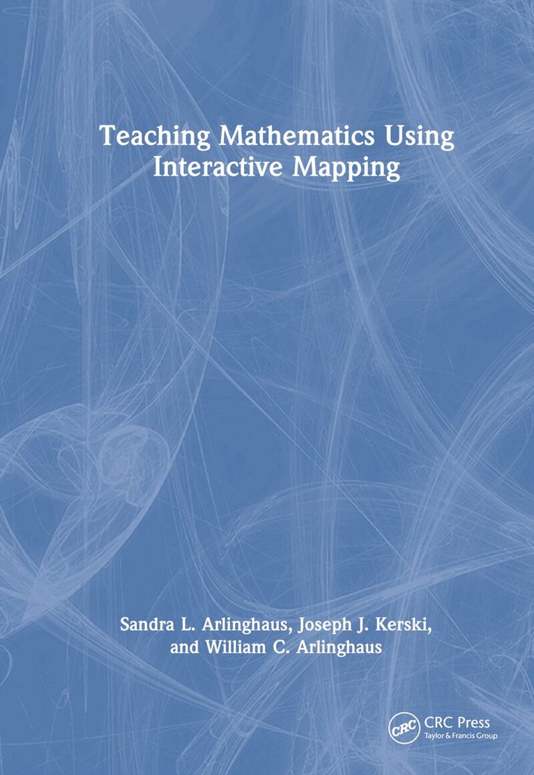
Teaching Mathematics Using Interactive Mapping
Av Sandra L. Arlinghaus, Joseph J. Kerski, William C. Arlinghaus
1967 kr
Beställningsvara. Skickas inom 10-15 vardagar. Fri frakt över 249 kr.
Beskrivning
Teaching Mathematics Using Interactive Mapping offers novel ways to learn basic math topics such as simple relational measures or measuring hierarchies through customized interactive mapping activities. These activities focus on interactive web-based Geographic Information System (GIS) and are relevant to today’s problems and challenges. Written in a guided, hands-on, understandable manner, all activities are designed to build practical and problem-solving skills that rest on mathematical principles and move students from thinking about maps as references that focus solely on "where is" something, to analytical tools, focusing primarily on the "whys of where." Success with this transition through interaction permits most readers to master mathematical concepts and GIS tools.FEATURESOffers custom-designed geographical activities to fit with specific mathematical topicsHelps students become comfortable using mathematics in a variety of professionsProvides an innovative, engaging, and practical set of activities to ease readers through typically difficult, often elementary, mathematical topics: fractions, the distributive law, and much moreUses web-based GIS maps, apps, and other tools and data that can be accessed on any device, anywhere, at any time, requiring no prior GIS backgroundWritten by experienced teachers and researchers with lifelong experience in teaching mathematics, geography, and spatial analysisFeatures an accompanying Solution Guide, available on the book's product page, that is beneficial for instructors, students, and other readers as an aid to gauging progress.This textbook applies to undergraduate and graduate students in universities and community colleges including those in basic mathematics courses, as well as upper-level undergraduate and graduate students taking courses in geographic information systems, remote sensing, photogrammetry, geography, geodesy, information science, engineering, and geology. Professionals interested in learning techniques and technologies for collecting, analyzing, managing, processing, and visualizing geospatial datasets will also benefit from this book as they refresh their knowledge in mathematics.
Produktinformation
- Utgivningsdatum: 2023-12-11
- Mått: 178 x 254 x 18 mm
- Vikt: 725 g
- Format: Inbunden
- Språk: Engelska
- Antal sidor: 225
- Förlag: Taylor & Francis Ltd
- ISBN: 9781032305325
Utforska kategorier
Betyg & recensioner
0 recensioner
Inga recensioner tillgängliga.