
British Historic Towns Atlas – serie
Visar alla böcker i serien British Historic Towns Atlas. Handla med fri frakt och snabb leverans.
3 produkter
3 produkter

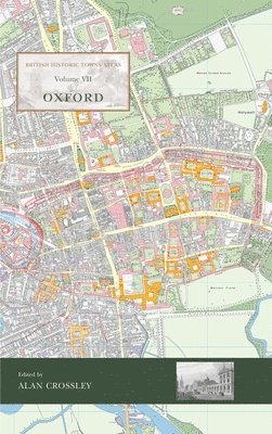
Häftad, Engelska, 2025
325 kr
Kommande
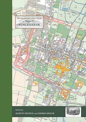
Inbunden, Engelska, 2017
977 kr
Skickas
The volume is co-published by the Winchester Excavations Committee and forms Volume 11 of the Winchester Studies series. Following the success of volumes IV (Windsor and Eton) and V (York) in the series of Historic Towns Atlases, the new volume maps and explains the history of Winchester – a city which has played such an important part in English history from Roman times onwards. Combining many full-colour maps with an authoritative but very readable text, the atlas shows how the Roman city of Venta Belgarum became the second-most important city in England for several centuries: a walled town, the seat of kings and an ecclesiastical centre almost unparalleled in the country, before gently declining into a judicial centre and county town. The Atlas is centred on a detailed map of the city at the scale of 1:2500, showing Winchester's historic buildings and structures on a map of the city as it was in 1800. A series of maps show how Winchester was at key points in its history, charting its development and changing shape. The Atlas includes an early OS map, modern maps and historic aerial photographs, as well as colour illustrations, many of which have never been published before. The introduction offers a full history of how and why Winchester developed from prehistoric times onwards, in a series of chapters written by historians but aimed at the general reader. It also includes a comprehensive reference gazetteer listing every place shown on the maps, with a map location, a brief history, and further reading for those interested in finding out more. Like its companion volumes, the maps, text, gazetteer and illustrations are presented in an A3 stiff card binder, and the format allows for maps of different date to be compared side-by-side.
Inbunden, Engelska, 2021
977 kr
Skickas
The latest volume of the British Historic Towns Atlas series covers the internationally-renowned city of Oxford. Famed for its university and its many outstanding historic buildings, the volume presents in mapped form the history of its topographical development. From its prehistoric setting, through its contentious Anglo-Saxon foundation, the medieval establishment of its university, and its sporadic growth after that, the Atlas charts how it became a nineteenth-century city dominated by colleges, churches, university buildings, and its associated publishing industry. The Atlas is presented as a large-format portfolio containing a series of maps showing the city at key points in its history, many illustrations of its buildings and streets, maps to show its setting, and reproduction early maps of the city. A readable text introduces and explains the maps, giving the reader a thorough grounding in how and why Oxford developed, and an explanation of its changing fortunes. A supplementary chapter brings the situation up to date. Whilst many histories of the university have been written, the Atlas concentrates on the topographic development of Oxford as a settlement, and explains it in mapped form. A comprehensive gazetteer lists every building and street shown on the maps, with a short history and references for further reading.