
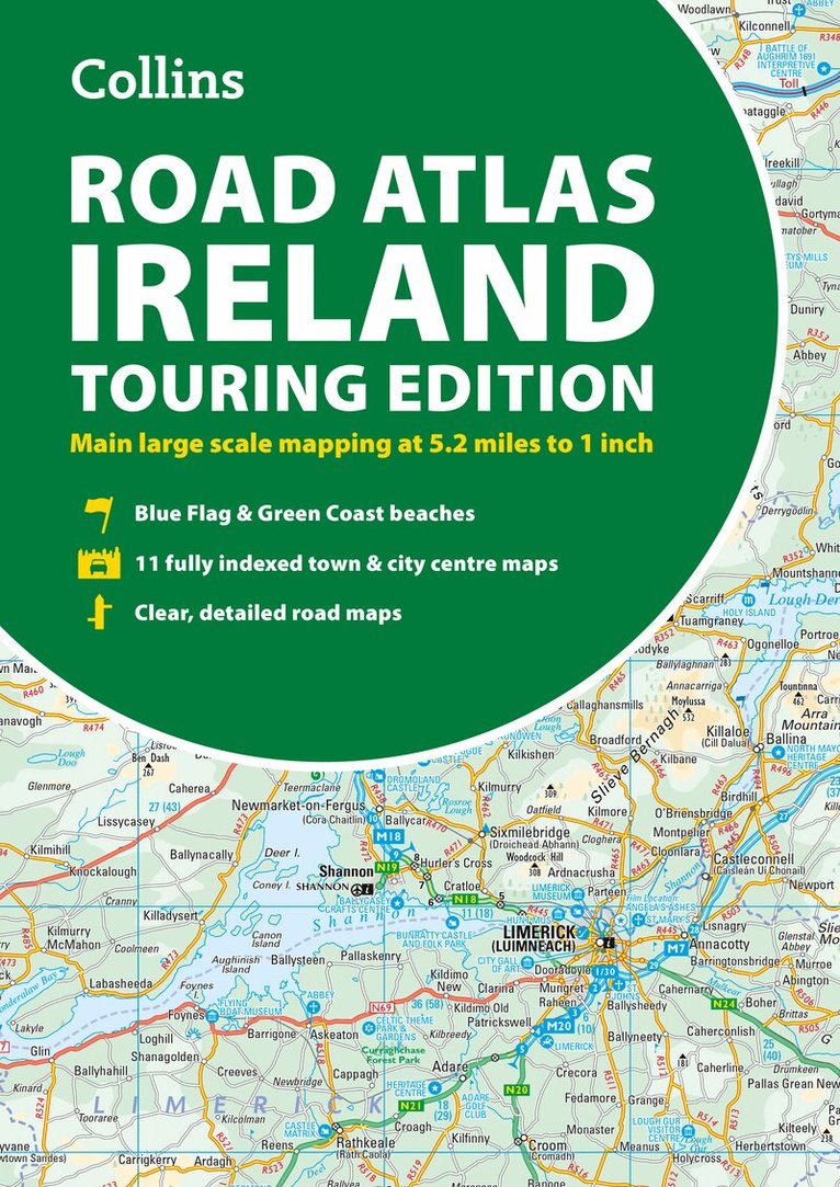
Comprehensive Road Atlas Ireland
Easy to Read, Updated Mapping
Häftad, Engelska, 2023
127 kr
Tillfälligt slut
Beskrivning
Clear, detailed road atlas of Ireland in a handy A4 spiral-bound format.This comprehensive, general purpose road atlas is ideal for both business and pleasure.Highlights include: Clear mapping at a scale of 3.2 miles to 1 inch, which is useful for navigationAn additional 9 miles to 1 inch route planning mapPlaces of interest section with information and photographsA range of fully indexed town and city centre maps, including: Bangor, Belfast, Cork, Dublin, Limerick, Lisburn, Londonderry (Derry) and NewtownabbeyThis updated edition boasts road mapping packed with detail. There is a colour classified road network that also shows toll roads. Blue Flag and Green Coast beaches are shown along with tourist information centres and a wide range of tourist attractions. There is also comprehensive information for visitors to Belfast, Cork, Dublin and Limerick.The perfect companion for anyone visiting Ireland.
Produktinformation
Utforska kategorier
Mer om författaren

Hoppa över listan

Du kanske också är intresserad av
- Nyhet
Del 1
- -19%
Del 7
- 4 för 3
- -19%
- Nyhet
Del 2
- -30%
- -22%
Del 3
- -30%
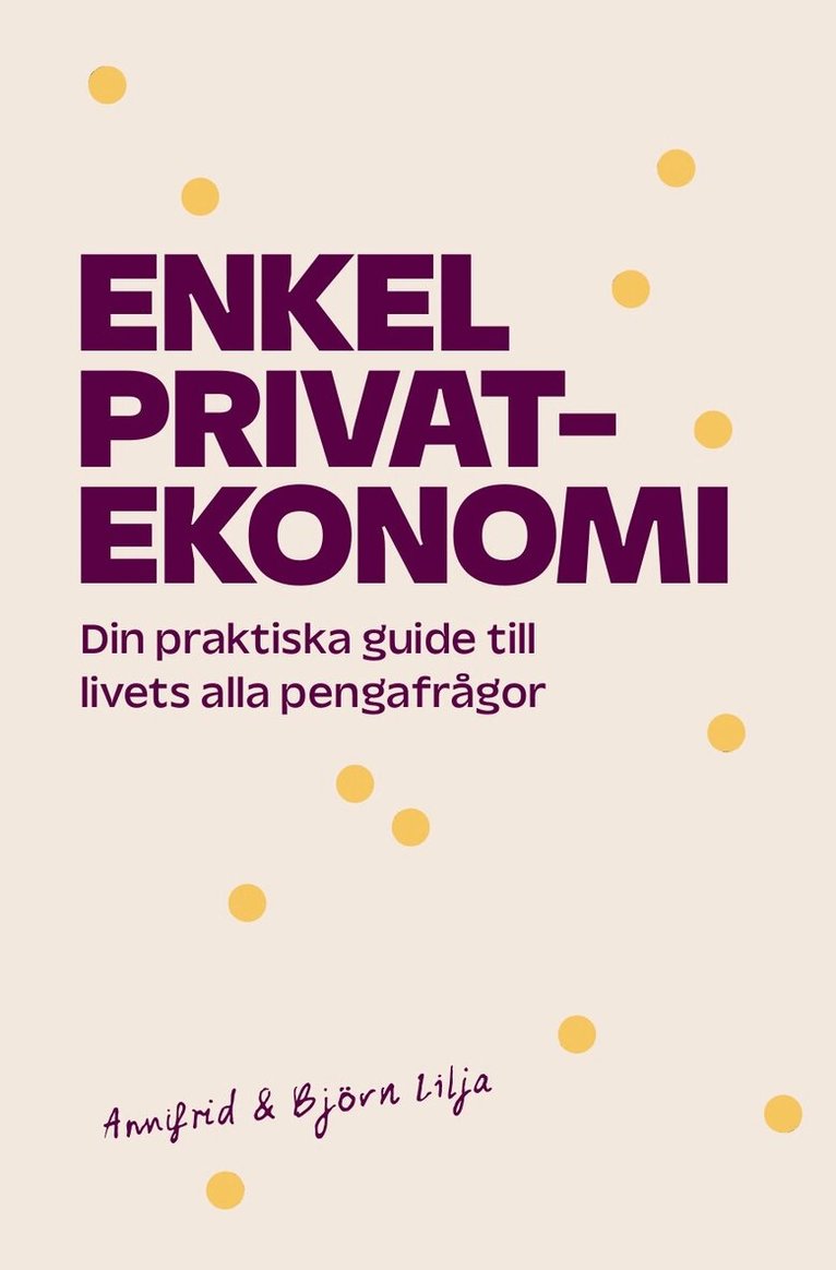
- Signerad!
SIGNERAD - Enkel privatekonomi : Din praktiska guide till livets alla pengafrågor
Annifrid Lilja, Björn Lilja
Kartonnage, 2026
229 kr
- -23%