
Pyhrn-Priel, Walking-, Bike- and Leisure map 1:50.000, freyt
AvFreytag-Berndt,Freytag-Berndt und Artaria KG
Engelska, 2021
Del i serien freytag & berndt Wanderkarte
164 kr
Beställningsvara. Skickas inom 3-6 vardagar. Fri frakt över 249 kr.
Beskrivning
The Pyhrn-Priel hiking, cycling and leisure time map on a scale of 1:50,000 should always be in your luggage when excursions, hiking and cycling tours in one of the most well-known holiday regions in Upper Austria are on the agenda! The Kalkalpen National Park, in particular, fascinates visitors with its closed forest areas and impressive biodiversity. The hiking map also presents the Steyr Valley, which can be explored comfortably along the Steyr Valley Cycle Path, and the tourism region of Traunsee-Almtal further west, which is also known as the eastern ?gateway? to the Salzkammergut. Information on the Pyhrn-Priel hiking map Hiking and long-distance hiking trails via ferratas Scale 1:50,000 Waterproof and tear resistant Cycle paths and mountain bike trails Attractive excursion destinations 70 x 82 cm, printed on both sides GPX Tracks zum Download With info guide The numerous existing regional hiking trails are supplemented by several long-distance hiking and pilgrimage trails, including the Northern Alpine Trail, the Mariazeller Trail, the Salzsteig and the Via Alpina. The Almuferweg between the Almspitz and the Almsee is particularly suitable for pleasure hikers, while the demanding Salzkammergut BergeSeen Trail with its 20 stages lets you experience the most beautiful sides of the Salzkammergut with its impressive peaks and the lakes in between. The hiking trails on the map are easy to follow thanks to the exact cartography by freytag & berndt and the ideal scale. Demanding passages such as climbs with climbing points are of course marked on the map. The Pyhrn-Priel hiking map is also an ideal companion for cyclists and mountain bikers . The courses of the Steyrtal Cycle Path, the Kremstal Cycle Path and the Almtal Cycle Path can be followed just as easily as the mountain bike routes, which lead to sweaty heights and bring rapid descents with them. Info guide The 'short and compact' info guide not only provides a brief overview of the region, but also presents the Kalkalpen National Park in more detail. Anyone who would like to find out more about its species-rich fauna and flora should pay a visit to the national park center in Molln or go to the Wurbauerkogel, where a panorama tower offers an incomparable panoramic view. On hot summer days, the Traunsee and the Almsee invite you to take a dip in the cool water, while in Gmunden visitors stroll along the Esplanade. The Gassel stalactite cave and the Cumberland wildlife park in Grünau are also attractive destinations for the whole family. In order to follow in the footsteps of Emperor Franz Joseph I, a visit to the picturesque Offensee at the foot of the Rinnerkogel is a must. Waterproof and tear-resistant The map is printed on a special waterproof and durable paper so that it can also be used for orientation on rainy days. Resource-saving production The map consists of 80% ground limestone. The production is much more resource-saving than with conventional paper because the consumption of water, wood and energy is significantly lower.
Produktinformation
Utforska kategorier

Hoppa över listan
Mer från samma serie
WK 191 Gastatal - Wagrain - Raurisertal - Largearltal, Walki
Freytag-Berndt, Freytag-Berndt und Artaria KG
164 kr
WK S511 Meran and the surrounding area, Walking map 1:25.000
Freytag-Berndt, Freytag-Berndt und Artaria KG
164 kr
Lüneburger Park, Walking-, Bike- and Leisure map 1:50.000, f
Freytag-Berndt, Freytag-Berndt und Artaria KG
164 kr
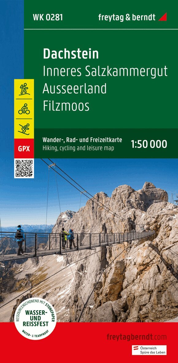
Dachstein, Walking-, Bike- and Leisure map 1:50.000, freytag
Freytag-Berndt, Freytag-Berndt und Artaria KG
164 kr
Hoppa över listan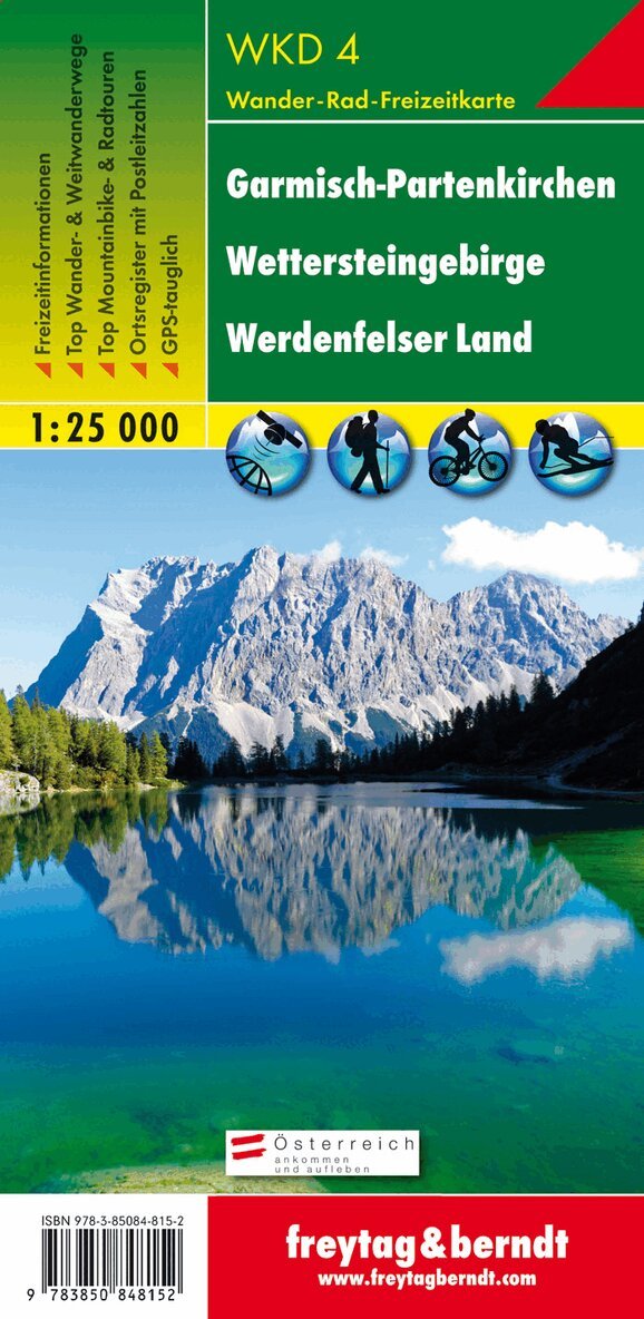


Du kanske också är intresserad av
WKD 4 Garmisch-Partenkirchen - weatherstein Mountains - Werd
Freytag-Berndt, Freytag-Berndt und Artaria KG
164 kr
WK S511 Meran and the surrounding area, Walking map 1:25.000
Freytag-Berndt, Freytag-Berndt und Artaria KG
164 kr
freytag & berndt Wanderkarte Tennengebirge - Lammertal - Osterhorngruppe 1:50.000
Freytag & Berndt
164 kr