
Judith A. Tyner – författare
Visar alla böcker från författaren . Handla med fri frakt och snabb leverans.
11 produkter
11 produkter
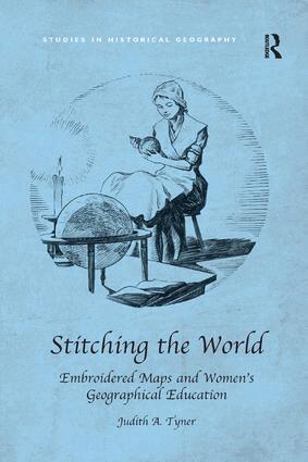
Häftad, Engelska, 2018
748 kr
Skickas inom 10-15 vardagar
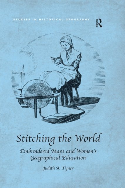
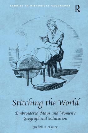
From the late eighteenth century until about 1840, schoolgirls in the British Isles and the United States created embroidered map samplers and even silk globes. Hundreds of British maps were made and although American examples are more rare, they form a significant collection of artefacts. Descriptions of these samplers stated that they were designed to teach needlework and geography. The focus of this book is not on stitches and techniques used in 'drafting' the maps, but rather why they were developed, how they diffused from the British Isles to the United States, and why they were made for such a brief time. The events of the late eighteenth and early nineteenth centuries stimulated an explosion of interest in geography. The American and French Revolutions, the wars between France and England, the War of 1812, Captain Cook's voyages, and the explorations of Lewis and Clark made the study of places exciting and important. Geography was the first science taught to girls in school. This period also coincided with major changes in educational theories and practices, especially for girls, and this book uses needlework maps and globes to chart a broader discussion of women's geographic education. In this light, map samplers and embroidered globes represent a transition in women's education from 'accomplishments' in the eighteenth century to challenging geographic education and conventional map drawing in schools and academies of the second half of the nineteenth century. There has been little serious study of these maps by cartographers and, moreover, historians of cartography have largely neglected the role of women in mapping. Children's maps have not been studied, although they might have much to offer about geographical teaching and perceptions of a period, and map samplers have been dismissed because they are the work of schoolgirls. Needlework historians, likewise, have not done in depth studies of map samplers until recently. Stitching the World is an interdisciplinary work drawing on cartography, needlework, and material culture. This book for the first time provides a critical analysis of these artefacts, showing that they offer significant insights into both eighteenth- and nineteenth-century geographic thought and cartography in the USA and the UK and into the development of female education.

E-bok
Engelska, 2016849 kr
Läs direkt efter köp
From the late eighteenth century until about 1840, schoolgirls in the British Isles and the United States created embroidered map samplers and even silk globes. Hundreds of British maps were made and although American examples are more rare, they form a significant collection of artefacts. Descriptions of these samplers stated that they were designed to teach needlework and geography. The focus of this book is not on stitches and techniques used in ''drafting'' the maps, but rather why they were developed, how they diffused from the British Isles to the United States, and why they were made for such a brief time. The events of the late eighteenth and early nineteenth centuries stimulated an explosion of interest in geography. The American and French Revolutions, the wars between France and England, the War of 1812, Captain Cook''s voyages, and the explorations of Lewis and Clark made the study of places exciting and important. Geography was the first science taught to girls in school. This period also coincided with major changes in educational theories and practices, especially for girls, and this book uses needlework maps and globes to chart a broader discussion of women''s geographic education. In this light, map samplers and embroidered globes represent a transition in women''s education from ''accomplishments'' in the eighteenth century to challenging geographic education and conventional map drawing in schools and academies of the second half of the nineteenth century. There has been little serious study of these maps by cartographers and, moreover, historians of cartography have largely neglected the role of women in mapping. Children''s maps have not been studied, although they might have much to offer about geographical teaching and perceptions of a period, and map samplers have been dismissed because they are the work of schoolgirls. Needlework historians, likewise, have not done in depth studies of map samplers until recently. Stitching the World is an interdisciplinary work drawing on cartography, needlework, and material culture. This book for the first time provides a critical analysis of these artefacts, showing that they offer significant insights into both eighteenth- and nineteenth-century geographic thought and cartography in the USA and the UK and into the development of female education.
E-bok
PDF, Engelska, 2016849 kr
Läs direkt efter köp
From the late eighteenth century until about 1840, schoolgirls in the British Isles and the United States created embroidered map samplers and even silk globes. Hundreds of British maps were made and although American examples are more rare, they form a significant collection of artefacts. Descriptions of these samplers stated that they were designed to teach needlework and geography. The focus of this book is not on stitches and techniques used in ''drafting'' the maps, but rather why they were developed, how they diffused from the British Isles to the United States, and why they were made for such a brief time. The events of the late eighteenth and early nineteenth centuries stimulated an explosion of interest in geography. The American and French Revolutions, the wars between France and England, the War of 1812, Captain Cook''s voyages, and the explorations of Lewis and Clark made the study of places exciting and important. Geography was the first science taught to girls in school. This period also coincided with major changes in educational theories and practices, especially for girls, and this book uses needlework maps and globes to chart a broader discussion of women''s geographic education. In this light, map samplers and embroidered globes represent a transition in women''s education from ''accomplishments'' in the eighteenth century to challenging geographic education and conventional map drawing in schools and academies of the second half of the nineteenth century. There has been little serious study of these maps by cartographers and, moreover, historians of cartography have largely neglected the role of women in mapping. Children''s maps have not been studied, although they might have much to offer about geographical teaching and perceptions of a period, and map samplers have been dismissed because they are the work of schoolgirls. Needlework historians, likewise, have not done in depth studies of map samplers until recently. Stitching the World is an interdisciplinary work drawing on cartography, needlework, and material culture. This book for the first time provides a critical analysis of these artefacts, showing that they offer significant insights into both eighteenth- and nineteenth-century geographic thought and cartography in the USA and the UK and into the development of female education.
Inbunden, Engelska, 2015
2 502 kr
Skickas inom 10-15 vardagar
From the late eighteenth century until about 1840, schoolgirls in the British Isles and the United States created embroidered map samplers and even silk globes. Hundreds of British maps were made and although American examples are more rare, they form a significant collection of artefacts. Descriptions of these samplers stated that they were designed to teach needlework and geography. The focus of this book is not on stitches and techniques used in 'drafting' the maps, but rather why they were developed, how they diffused from the British Isles to the United States, and why they were made for such a brief time. The events of the late eighteenth and early nineteenth centuries stimulated an explosion of interest in geography. The American and French Revolutions, the wars between France and England, the War of 1812, Captain Cook's voyages, and the explorations of Lewis and Clark made the study of places exciting and important. Geography was the first science taught to girls in school. This period also coincided with major changes in educational theories and practices, especially for girls, and this book uses needlework maps and globes to chart a broader discussion of women's geographic education. In this light, map samplers and embroidered globes represent a transition in women's education from 'accomplishments' in the eighteenth century to challenging geographic education and conventional map drawing in schools and academies of the second half of the nineteenth century. There has been little serious study of these maps by cartographers and, moreover, historians of cartography have largely neglected the role of women in mapping. Children's maps have not been studied, although they might have much to offer about geographical teaching and perceptions of a period, and map samplers have been dismissed because they are the work of schoolgirls. Needlework historians, likewise, have not done in depth studies of map samplers until recently. Stitching the World is an interdisciplinary work drawing on cartography, needlework, and material culture. This book for the first time provides a critical analysis of these artefacts, showing that they offer significant insights into both eighteenth- and nineteenth-century geographic thought and cartography in the USA and the UK and into the development of female education.
Inbunden, Engelska, 2014
894 kr
Skickas inom 5-8 vardagar
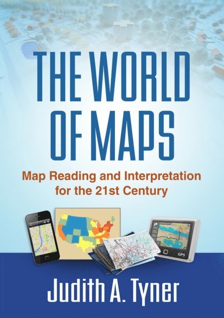
Maps have power--they can instruct, make life easier, mislead, or even lie. This engaging text provides the tools to read, analyze, and use any kind of map and assess its strengths and weaknesses. Requiring no advanced math skills, the book presents basic concepts of symbolization, scale, coordinate systems, and projections. It gives students a deeper understanding of the types of maps they encounter every day, from turn-by-turn driving directions to the TV weather report. Readers also learn how to use multiple maps and imagery to analyze an area or region. The book includes 168 figures, among them 22 color plates; most of the figures can be downloaded as PowerPoint slides from the companion website. Appendices contain a glossary, recommended resources, a table of commonly used projections, and more.
E-bok
PDF, Engelska, 20141 059 kr
Läs direkt efter köp
Maps have power--they can instruct, make life easier, mislead, or even lie. This engaging text provides the tools to read, analyze, and use any kind of map and assess its strengths and weaknesses. Requiring no advanced math skills, the book presents basic concepts of symbolization, scale, coordinate systems, and projections. It gives students a deeper understanding of the types of maps they encounter every day, from turn-by-turn driving directions to the TV weather report. Readers also learn how to use multiple maps and imagery to analyze an area or region. The book includes 168 figures, among them 22 color plates; most of the figures can be downloaded as PowerPoint slides from the companion website. Appendices contain a glossary, recommended resources, a table of commonly used projections, and more.

E-bok
Engelska, 20141 059 kr
Läs direkt efter köp
Maps have power--they can instruct, make life easier, mislead, or even lie. This engaging text provides the tools to read, analyze, and use any kind of map and assess its strengths and weaknesses. Requiring no advanced math skills, the book presents basic concepts of symbolization, scale, coordinate systems, and projections. It gives students a deeper understanding of the types of maps they encounter every day, from turn-by-turn driving directions to the TV weather report. Readers also learn how to use multiple maps and imagery to analyze an area or region. The book includes 168 figures, among them 22 color plates; most of the figures can be downloaded as PowerPoint slides from the companion website. Appendices contain a glossary, recommended resources, a table of commonly used projections, and more.
E-bok
PDF, Engelska, 2017858 kr
Läs direkt efter köp
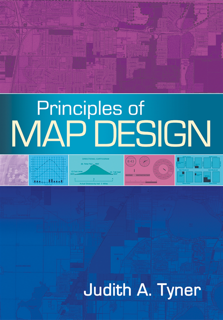
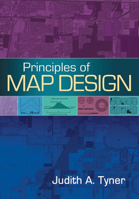
This authoritative, reader-friendly text presents core principles of good map design that apply regardless of production methods or technical approach. The book addresses the crucial questions that arise at each step of making a map: Who is the audience? What is the purpose of the map? Where and how will it be used? Students get the knowledge needed to make sound decisions about data, typography, color, projections, scale, symbols, and nontraditional mapping and advanced visualization techniques. Pedagogical Features:*Over 200 illustrations (also available at the companion website as PowerPoint slides), including 23 color plates*Suggested readings at the end of each chapter.*Recommended Web resources.*Instructive glossary

Inbunden, Engelska, 2026
1 565 kr
Kommande
This book examines the essential role of women in cartography during WWII. Starting by highlighting the process of mapping during World War II and major employers of women cartographers, Tyner and Tyner illuminate how the discipline of cartography emerged and highlight the contributions of women involved in this process. The book uncovers the impact of WWII on mapmaking. Before the war, cartography was seen as a tool rather than a discipline in its own right. The advent of war dramatically changed the cartographic profession and, in turn, contributed to a reimagining of cartography as a discipline. New agencies such as the Army Map Service and the Office of Strategic Services, as well as established agencies such as the U.S. Coast and Geodetic Survey, the Tennessee Valley Authority, and the United States Geological Survey were commissioned to make maps for the war effort. Furthermore, the Army Map Service was the largest employer of women during the War. Overall, this inspiring book looks at the kinds of maps that women made and the attitudes towards women in cartography to tell the untold story of women cartographers during WWII.
Häftad, Engelska, 2014
484 kr
Tillfälligt slut
This authoritative, reader-friendly text presents core principles of good map design that apply regardless of production methods or technical approach. The book addresses the crucial questions that arise at each step of making a map: Who is the audience? What is the purpose of the map? Where and how will it be used? Students get the knowledge needed to make sound decisions about data, typography, color, projections, scale, symbols, and nontraditional mapping and advanced visualization techniques. Pedagogical Features:*Over 200 illustrations (also available at the companion website as PowerPoint slides), including 23 color plates*Suggested readings at the end of each chapter.*Recommended Web resources.*Instructive glossary
Inbunden, Engelska, 2010
935 kr
Tillfälligt slut
This authoritative, reader-friendly text presents core principles of good map design that apply regardless of production methods or technical approach.