• Fri frakt över 249 kr
  • •
  • Snabba leveranser
  • •
  • Billiga böcker
Kundservice

Du är på sajten för privatpersoner.

Företag, bibliotek eller offentlig verksamhet?

Du handlar på classic.bokus.com, där alla dina funktioner finns intakta.
Till classic.bokus.com
Bokus logotyp. Gå till startsidan.
  • Erbjudanden
  • Nyheter
  • Student
  • Topplistor
  • Barn & ungdom
  • Bokus Play
  • E-böcker
  • Pocketböcker
  • Spel & pussel

10% studentrabatt med kod TERM26

Sidfot

Mina sidor

    Hjälp

    • Kundservice
    • Vanliga frågor och svar
    • Frakt och leverans
    • Retur vid ångerrätt
    • Reklamera vara
    • Betalning
    • Köpvillkor
    • Allmänna villkor
    • Information om webbplatsens tillgänglighet

    Om Bokus

    • Om oss
    • Pressrum
    • För studenter
    • För företag
    • För bibliotek och offentlig verksamhet
    • För leverantörer
    • Hållbarhet

    Populärt

    • Aktuella erbjudanden
    • Presentkort
    • Studentlitteratur
    • Nya böcker
    • Topplistor
    • Signerade böcker
    • Engelska böcker

    Inspiration

    • Boktips
    • BookTok
    • Populära bokserier
    • Barnbokskaraktärer
    • Populära författare
    Logotyp för Bokus
    Följ oss på Facebook (extern länk)Följ oss på Instagram (extern länk)Följ oss på YouTube (extern länk)Följ oss på TikTok (extern länk)
    bokus @ CookiesAnpassa cookiesIntegritetspolicyKöpvillkor
    Till Citymail hemsida (extern länk)Till Budbee hemsida (extern länk)Till Postnord hemsida (extern länk)Till Schenker hemsida (extern länk)Till Early Bird hemsida (extern länk)Till Walleys hemsida (extern länk)
    1. Naturvetenskap och teknik
    2. Geovetenskap
    3. Geografi

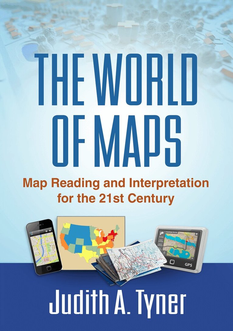
    World of Maps

    Map Reading and Interpretation for the 21st Century

    AvJudith A. Tyner

    Inbunden, Engelska, 2014

    892 kr

    Beställningsvara. Skickas inom 5-8 vardagar. Fri frakt över 249 kr.

    Fler format och utgåvor

    E-bok

    1 056 kr

    E-bok

    1 056 kr

    Beskrivning

    Maps have power--they can instruct, make life easier, mislead, or even lie. This engaging text provides the tools to read, analyze, and use any kind of map and assess its strengths and weaknesses. Requiring no advanced math skills, the book presents basic concepts of symbolization, scale, coordinate systems, and projections. It gives students a deeper understanding of the types of maps they encounter every day, from turn-by-turn driving directions to the TV weather report. Readers also learn how to use multiple maps and imagery to analyze an area or region. The book includes 168 figures, among them 22 color plates; most of the figures can be downloaded as PowerPoint slides from the companion website. Appendices contain a glossary, recommended resources, a table of commonly used projections, and more.

    Produktinformation

    • Utgivningsdatum:2014-11-19
    • Mått:178 x 254 x 18 mm
    • Vikt:668 g
    • Format:Inbunden
    • Språk:Engelska
    • Antal sidor:237
    • Förlag:Guilford Publications
    • ISBN:9781462516483

    Utforska kategorier

    • Geografi inom Naturvetenskap och teknik

    Mer om författaren

    Judith A. Tyner, PhD, is Professor Emerita of Geography at California State University, Long Beach. She taught in the Geography Department for over 35 years, where she served as Department Chair and as Director of the Cartography/GIS Certificate Program from its inception until her retirement. While at California State Dr. Tyner taught beginning and advanced cartography, map reading and interpretation, history of cartography, and remote sensing. She is a member of the Association of American Geographers, the North American Cartographic Information Society, the Cartography and Geographic Information Society, and the California Map Society. She is the author of several textbooks, including Principles of Map Design, and over 30 articles.

    Recensioner i media

    “Tyner has done it again--she has crafted an accessible book that makes reading about maps not only educational but fun! Here she convinces us that even as maps move from paper onto the Web and mobile devices, knowing how to use them and understanding how they work is as important as ever. By clearly differentiating map reading from map analysis, Tyner ably covers the concepts needed to become proficient in map interpretation and spatial thinking. This is a suitable text for introductory map and spatial analysis classes.”--Ian Muehlenhaus, PhD, Department of Integrated Science and Technology, James Madison University"This is a broad-based introduction to map use, reading, and interpretation. While it could be read cover to cover, its strength is in providing concise, stand-alone descriptions and explanations of map types and mapping conventions that are sufficiently detailed without being overwhelming. Tyner’s expertise as an instructor is evident in her conversational discussions of highly technical and specialized topics; her style will put nonexpert readers quickly at ease as she does not rely on technical terms or jargon. World of Maps could be a recommended text for students who are interested in exploring maps and map use, and students in a wide variety of disciplines that incorporate spatial thinking, display, or analysis. It will also find a home in many college and university libraries as a go-to resource."--Jenny Marie Johnson, Maps and Geography Librarian and School of Earth, Society, and Environment, University of Illinois at Urbana-Champaign"Investigating whether maps are obsolete, Tyner makes a compelling case for the importance of maps in humankind’s past and future and the need for increased cartographic literacy. She writes in a manner that is both entertaining and informative. The extensive bibliography and appendices will help make this book a treasured resource for geographic education. The level is suitable for those engaged in formal study of spatial techniques as well as for neocartographers."--Eugenie Rovai, PhD, Department of Geography and Planning, California State University, Chico-This is a concise introduction to a rich and complex topic, useful for an elementary map reading course. Recommended. Lower-division undergraduates and general readers.--Choice Reviews, 5/1/2015

    Innehållsförteckning

    • I. Map Reading Basics1. Introduction: The Importance of Map Reading2. Landmarks of Mapmaking3. Map Basics4. The Figure of the Earth and Coordinate Systems5. Map Projections: The Round Earth on Flat Paper6. The Earth from Above: Remote Sensing and Image InterpretationII. Map Types and Their Analysis7. Virtual Maps and GPS8. Topographic Maps9. Thematic Maps10. Maps for Navigation11. Maps for Special PurposesIII. Putting It All Together12. Map Interpretation13. Epilogue: The Future of Maps and Map ReadingAppendix A. GlossaryAppendix B. AbbreviationsAppendix C. Useful StatisticsAppendix D. ResourcesAppendix E. Commonly Used ProjectionsBibliography